 ✨ AI Generated
Asuka-kyo Site Garden Pond
Japanese: 飛鳥京跡苑池
Asuka Village, Nara
This information was written by AI and may contain mistakes. Please check official sources for opening hours, fees, and other details before you go.
Found a mistake? Let us know with “✏️ Something's wrong” on this spot's screen in asobot →
🎧 Audio guide(1:03)
In short
Asuka-kyo Site Garden Pond is the site of a garden built as an annex to the Asuka Palace. Created in the mid-7th century during the reign of Empress Saimei, it is recognized as the oldest known example that led to later Japanese gardens. It is one of the component parts of the World Cultural Heritage property "Ancient Capitals of Asuka and Fujiwara" and is also designated as a national Historic Site and Place of Scenic Beauty.
- Two Ponds: The South Pond and North Pond were separated by a central embankment, with a wooden conduit buried in the embankment that allowed water to flow from the South Pond to the North Pond.
- Stone Revetments and Stone Objects: Stone-piled revetments were used, stones were laid across the pond beds, and fountain facilities and gigantic stone basins were installed.
- Water Stage: The South Pond had a central island, and it is known that a "water stage" on stilts also stood in the pond.
History and Highlights
Asuka-kyo Site Garden Pond is located northwest of the Asuka Palace Site. Built in the mid-7th century during the reign of Empress Saimei, it was used as a garden attached to the palace until the era of the Asuka Kiyomihara Palace under Emperor Tenmu and Empress Jito. Its discovery is relatively recent, in 1999 (Heisei 11), after which repeated archaeological excavations have been conducted.
The garden covered an area 280 meters north-south and 100 meters east-west, containing the South Pond, the North Pond, waterways, and buildings. The two ponds were separated by a central embankment and connected by an underground wooden conduit (mokuhi). The design allowed water to flow from the South Pond into the North Pond. The revetments were built with stone, and stones were also paved across the bottoms.
Highly artistic stone objects were installed in the ponds, including water conduction facilities, fountain facilities, and huge stone basins.
Gardens attached to palaces have also been identified in China and the Korean Peninsula. Asuka-kyo Site Garden Pond shares some similarities with garden ponds of the Korean Peninsula, indicating that landscaping techniques were brought by immigrants. At the same time, it also features designs and structures unique to Japan. For this reason, it is regarded as the oldest example that connects to subsequent Japanese gardens.
It was designated as a national Historic Site and Place of Scenic Beauty on August 27, 2003.
Viewing and Experience Points
- South Pond and Central Island: The shallow, pentagonal South Pond had a central island, and it is known that a "water stage" on stilts also stood in the pond.
- North Pond: The deep North Pond features stepped stone revetments and is conjectured to have served ritual purposes, standing in contrast to the shallow South Pond.
- Water Flow: The water source was spring water from underground, and channels for draining water into the Asuka River have also been unearthed. Try imagining the water that once flowed from the South Pond to the North Pond.
Walking Tips
At the site today, you cannot see its original appearance intact. A rest shelter for Asuka-kyo Site Garden Pond stands on a slightly elevated plaza nearby. Take a break here and try to imagine the expanse of the historic ponds.
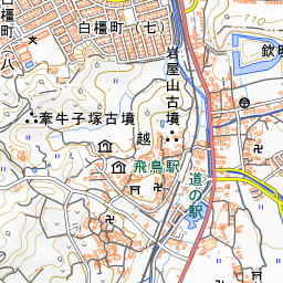
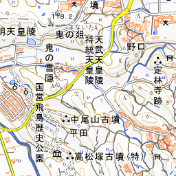
Located along the Asuka River, it can easily be visited along with nearby archaeological sites. The Asuka Palace Site is about 220 meters to the southeast, Kawara-dera Temple Site is about 270 meters to the south, Sakafune-ishi Ruins are about 440 meters to the east, and Asuka-dera Temple is about 490 meters to the north.

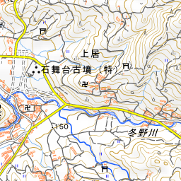
Spot location © OpenStreetMap contributors (ODbL)
Open in Google MapsGuides that include this spot (1)
Use asobot while you walk
- See where you are on the map and find spots nearby
- Listen to the guide's audio in course order, one after another (with subtitles)
- Walk to the next spot while following the map
Open on your phone
Scan to open this spot in asobot on your phone.