 ✨ AI Generated
Kachidoki Bridge
Japanese: 勝鬨橋
Chuo City, Tokyo
This information was written by AI and may contain mistakes. Please check official sources for opening hours, fees, and other details before you go.
Found a mistake? Let us know with “✏️ Something's wrong” on this spot's screen in asobot →
🎧 Audio guide(0:58)
In short
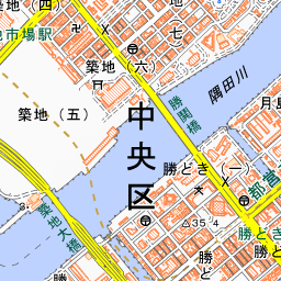
Kachidoki Bridge is a bridge spanning the Sumida River to connect Tsukiji and Kachidoki. Completed in 1940, it was hailed as the foremost movable bridge in the East at the time of its completion due to its central bascule section that opened upward to the left and right. It has been designated an Important Cultural Property of Japan as the bridge with the country's largest movable span.
- Upward-Opening Central Bridge Spans: The bascule section at the center of the bridge was designed to be raised by electric power up to 70 degrees within 70 seconds.
- A Bridge That No Longer Opens: Its last opening and closing took place on November 29, 1970, and it remains closed today.
- Kachidoki Bridge Museum: Located at the base of the bridge on the Tsukiji side, this museum was renovated from the substation used to open the bridge and features a 1/100 scale model.
History and Highlights
Kachidoki Bridge was completed on June 14, 1940. For more than 75 years until the construction of Tsukiji Ohashi Bridge, it stood as the bridge farthest downstream on the Sumida River.
Its name originates from a ferryboat service. In 1905, volunteers established the "Kachidoki-no-Watashi" ferry at this site to commemorate the fall of Port Arthur during the Russo-Japanese War. The bridge was named "Kachidoki Bridge" after this ferry service. The name of the town on the opposite shore, "Kachidoki," is also derived from this bridge.
To facilitate travel back and forth with Tsukishima, which was developing as an industrial district, a movable bridge capable of letting ships in the 3,000-ton class pass through was planned. Construction began in February 1932 and took about eight years. It was also intended to serve as the main gate for the Grand International Exposition of Japan scheduled to open in 1940, but the expo was canceled as the war intensified.
The bridge measures 246 meters in length. It features a central bascule section that opens upward to the left and right, flanked on both sides by fixed sections with gracefully curved arches. At the time of its completion, it boasted the largest scale in the East as a bascule bridge. Initially, the bridge was opened five times a day, for about 20 minutes each time. However, due to a decrease in boat traffic on the Sumida River and an increase in vehicular traffic, its operation on November 29, 1970, marked its final opening, and it became a bridge that no longer opens. In 2007, it was designated a national Important Cultural Property as a bridge of high technical perfection that possesses the largest movable span in the country.
Viewing and Experiencing Highlights
- Mechanism of the Bascule Opening: The central movable section weighs approximately 4,000 tons in total. It operated on a mechanism where electric power drove rotating shafts inside the piers, lifting the spans up to 70 degrees in 70 seconds.
- Kachidoki Bridge Museum: The museum at the bridge's foot on the Tsukiji side is a renovated former substation used for opening the bridge. A 1/100 scale model and the original power generation equipment that moved the bridge are preserved and exhibited as they were. The colossal machinery used to open the bridge is open to the public through reservation-only tours inside the piers.
- Depiction in Novels: The distinctive sight of the bridge moving was often portrayed in novels and manga. Mishima Yukio's novel Kyoko's House, set around 1955, also features a scene depicting the bridge rising up.
Walking Tips
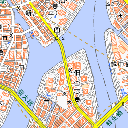
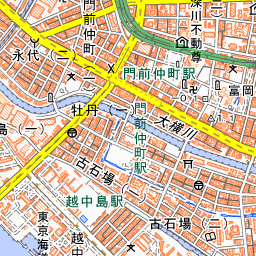
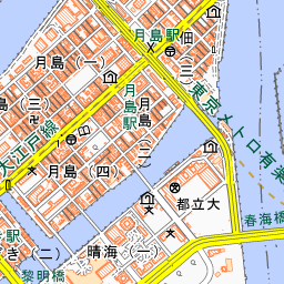
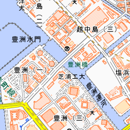
It is a 5-minute walk from Kachidoki Station on the Toei Oedo Line and a 10-minute walk from Tsukiji Station on the Tokyo Metro Hibiya Line. From the pedestrian walkway on the bridge, you can look out over Tsukiji, Tsukuda, and other areas. Try standing in the center of the bridge and imagining how it once lifted open to the left and right. Visiting the museum at the foot of the bridge afterward will give you a clear understanding of its inner workings. Namiyoke Inari-jinja Shrine is about 270 meters to the west, and Tsukiji Outer Market is about 460 meters to the northwest. Crossing the bridge and continuing east for about 610 meters will bring you to Tsukishima, which is lined with monjayaki restaurants.



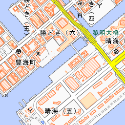
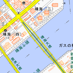
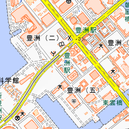
Spot location © OpenStreetMap contributors (ODbL)
Open in Google MapsUse asobot while you walk
- See where you are on the map and find spots nearby
- Listen to the guide's audio in course order, one after another (with subtitles)
- Walk to the next spot while following the map
Open on your phone
Scan to open this spot in asobot on your phone.