 ✨ AI Generated
Lake Shinryu
Japanese: 神龍湖
Shobara, Hiroshima
This information was written by AI and may contain mistakes. Please check official sources for opening hours, fees, and other details before you go.
Found a mistake? Let us know with “✏️ Something's wrong” on this spot's screen in asobot →
🎧 Audio guide(1:03)
In short
Lake Shinryu is a man-made lake with a circumference of approximately 24 kilometers and a total length of about 8 kilometers, located in the lower reaches of Taishakukyo Gorge, a nationally designated Place of Scenic Beauty. It was created by the Taishaku River Dam, completed in 1924, and sheer cliffs and oddly shaped rocks rise along both shores. The red bridges standing out against the deep blue waters form the iconic view of this lake.
- Two Registered Tangible Cultural Property Bridges: Shinryu Bridge, a steel truss bridge built in 1930 (Showa 5), and Sakura Bridge, a steel arch bridge built in 1937 (Showa 12), are both national Registered Tangible Cultural Properties
- Walking Circuit of the Three Red Bridges: A walking course crossing the three red bridges, the current Momiji Bridge, Shinryu Bridge, and Sakura Bridge, takes approximately 50 minutes for a complete loop
- Viewing the Gorge from the Water: Sightseeing boats and kayaks allow visitors to look up closely at the towering cliffs on both banks from the water
History and Highlights
Lake Shinryu is a man-made lake with a circumference of approximately 24 kilometers and a total length of about 8 kilometers, located in the lower reaches of Taishakukyo Gorge, a nationally designated Place of Scenic Beauty. Straddling Tojo-cho in Shobara City and Jinsekikogen-cho, it was created by the Taishaku River Dam, which impounded a limestone gorge. Completed in 1924, the dam is one of Japan's earliest concrete dams and featured the nation's tallest dam wall at the time of its completion. It continues to be used for hydroelectric power generation today.
Although it is an artificial lake, sheer cliffs and oddly shaped rocks rise along both shores, creating a landscape that blends seamlessly with the natural beauty of the gorge. The red bridges standing out against the deep blue waters form the iconic view of this lake.
Viewing and Experience Highlights
- Two Registered Tangible Cultural Property Bridges: Shinryu Bridge is a steel truss bridge built in 1930 and was originally named Momiji Bridge. At the time of its construction, it had the longest span in Japan for a road bridge of its design. During a replacement project in 1985, the entire bridge was moved to its current location aboard a pontoon barge on the lake, renamed Shinryu Bridge, and is now used as a footbridge on the walking trail. Sakura Bridge is a steel arch bridge built in 1937 as part of a scenic sightseeing road in Taishakukyo Gorge. Both bridges are registered as national Registered Tangible Cultural Properties.
- Walking Circuit of the Three Red Bridges: A walking course crosses the three red bridges—the newly rebuilt Momiji Bridge, Shinryu Bridge, and Sakura Bridge—taking approximately 50 minutes for a complete loop.
- Viewing the Gorge from the Water: Sightseeing boats that tour the lake in about 40 minutes, as well as kayaks heading upstream, allow visitors to look up closely at the towering cliffs on both banks from the water. Sakura Bridge can also be viewed looking upward from the sightseeing boats.
Travel Tips
The fresh greenery of spring and the autumn foliage are especially scenic, and the view of autumn colors reflected on the lake's surface is not to be missed. The foliage typically reaches its peak from late October to early November. Kami-Taishaku upstream is about a 20-minute drive away; information about the gorge as a whole can be found under "Taishakukyo Gorge," while details on the natural stone bridge and limestone cave are introduced under "Onbashi Natural Bridge" and "Hakuundo Cave."
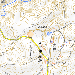
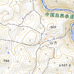
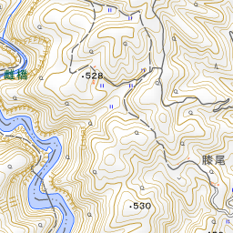
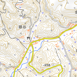
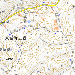
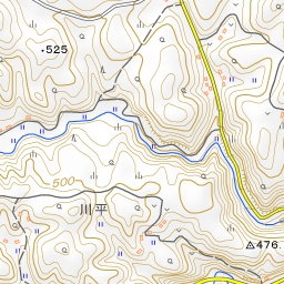
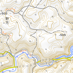
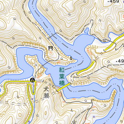
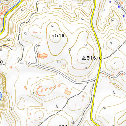
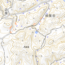
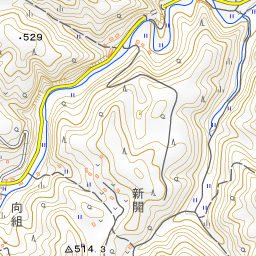
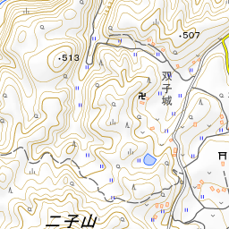
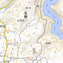
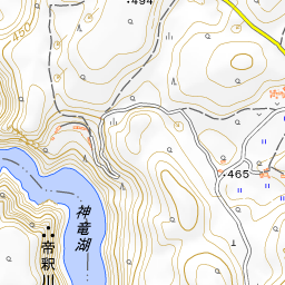
Spot location © OpenStreetMap contributors (ODbL)
Open in Google MapsGuides that include this spot (1)
Use asobot while you walk
- See where you are on the map and find spots nearby
- Listen to the guide's audio in course order, one after another (with subtitles)
- Walk to the next spot while following the map
Open on your phone
Scan to open this spot in asobot on your phone.