 ✨ AI Generated
Tamagawa Aqueduct
Japanese: 玉川上水
Koganei, Tokyo
This information was written by AI and may contain mistakes. Please check official sources for opening hours, fees, and other details before you go.
Found a mistake? Let us know with “✏️ Something's wrong” on this spot's screen in asobot →
🎧 Audio guide(1:10)
In short
The Tamagawa Aqueduct is a canal dug to supply water to the city of Edo and is a National Historic Site. It guided water by natural gravity flow over approximately 43 kilometers from Hamura to the Yotsuya Okido Gate. Along the embankments around Koganei, wild cherry trees (yamazakura) were planted during the Edo period, and the area has long been known as a famous cherry blossom viewing spot.
- Unlined Waterway: In the middle reach from the Kodaira Monitoring Station to Sengen-bashi Bridge, much of the unlined earth canal from the Edo period remains intact.
- Place of Scenic Beauty "Koganei (Sakura)": The rows of wild cherry trees along the Tamagawa Aqueduct are designated as a national Place of Scenic Beauty.
- Meisho Koganeizakura Monument: A stone monument commemorating the Koganei cherry blossoms stands near Heiemon-bashi Bridge.
History and Highlights
The Tamagawa Aqueduct is a waterway excavated to deliver water to the city of Edo. An intake was established at Hamura on the Tama River, guiding water by natural flow over approximately 43 kilometers to the Yotsuya Okido Gate, the entrance to Edo. The elevation difference across this distance is a mere 92 meters. The construction was commissioned by the shogunate and undertaken by the brothers Tamagawa Shoemon and Seiemon; it is said to have started in 1653 and been completed the following year.
The aqueduct water was distributed to Edo Castle, samurai residences, and townspeople's homes, where it was used for drinking water and fire prevention. It also served as irrigation water for clearing new agricultural fields on the Musashino Plateau, and by the middle of the Edo period, 33 branch channels were established. In 2003, approximately 30 kilometers of the open-channel section was designated as a National Historic Site.
The cherry blossoms of Koganei are said to have been planted around 1737 by local intendant Kawasaki Heiemon Sadataka and others. To bring prosperity to the new fields, it is told that prized varieties of wild cherry trees were ordered from Yoshino and Sakuragawa, and planted along approximately 6 kilometers of both embankments, centered on Koganei-bashi Bridge. Koganei became a famous cherry blossom viewing spot during the Edo period, and Utagawa Hiroshige also left many works featuring the Koganei cherry trees. In 1924, this row of wild cherry trees was designated as a national Place of Scenic Beauty under the name "Koganei (Sakura)". A survey conducted the following year recorded 1,468 cherry trees.
Viewing and Experience Highlights
- Unlined Waterway: In the middle reach between the Kodaira Monitoring Station and Sengen-bashi Bridge, many traces of the unlined earthen waterway from the Edo period remain. With the closure of the Yodobashi Water Purification Plant in 1965, the section downstream from the Kodaira Monitoring Station ceased its role of transporting tap water. Since 1986, under a clean water restoration project, advanced treated wastewater flows through the channel.
- Row of Wild Cherry Trees: The Tokyo Metropolitan Government Bureau of Waterworks designated an approximately 640-meter stretch from Shin-Koganei-bashi Bridge to Sekino-bashi Bridge as a model section. By clearing trees that overshadowed the wild cherries and planting additional wild cherry trees, they restored the cherry tree rows.
- Meisho Koganeizakura Monument: A stone monument erected in 1978, located about 30 meters west of Heiemon-bashi Bridge.
Tips for Exploring
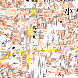
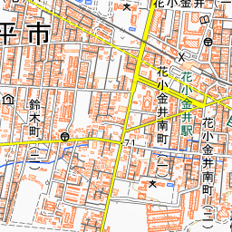
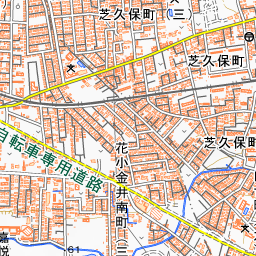
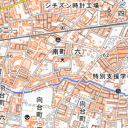
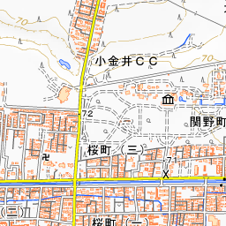
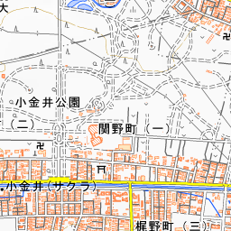
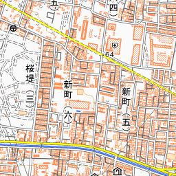
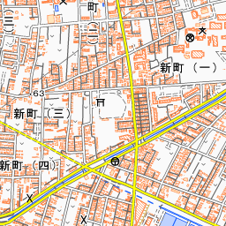
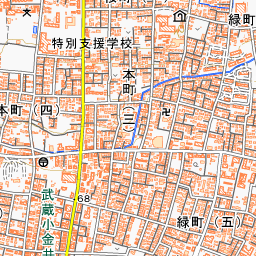
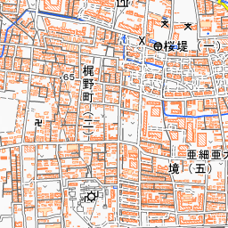
Koganei Park is located about 220 meters southeast of this point. If you take the CoCo Bus from Higashi-Koganei Station and get off at "Koganei Koen Iriguchi," Heiemon-bashi Bridge will be right before you. When walking, leave the North Exit of JR Higashi-Koganei Station, follow Jizo-dori Street in front of the station to the left, turn right at the Midoricho 1-chome intersection, and go straight for about 1.1 kilometers. Turn left at the intersection just before Sekino-bashi Bridge and walk about 250 meters along Josui Sakura-dori Avenue to reach Heiemon-bashi Bridge. About 2 kilometers downstream from the Meisho Koganeizakura Monument lies the Former Sakai Suieisho Site, and about 4 kilometers upstream lies the Former Ogawa Suieisho Site; a suieisho was a post where water guards were stationed. Approximately 460 meters to the west is the Edo-Tokyo Open Air Architectural Museum.


Use asobot while you walk
- See where you are on the map and find spots nearby
- Listen to the guide's audio in course order, one after another (with subtitles)
- Walk to the next spot while following the map
Open on your phone
Scan to open this spot in asobot on your phone.