 ✨ AI Generated
Shobuike Kofun Burial Mound
Japanese: 菖蒲池古墳
Kashihara, Nara
This information was written by AI and may contain mistakes. Please check official sources for opening hours, fees, and other details before you go.
Found a mistake? Let us know with “✏️ Something's wrong” on this spot's screen in asobot →
🎧 Audio guide(1:10)
In short
Shobuike Kofun Burial Mound is a square burial mound dating to the mid-7th century, located in Shobu-cho, Kashihara City. It is a two-tiered mound measuring about 30 meters on each side, and inside its stone burial chamber, two house-shaped stone sarcophagi are placed in a single lengthwise line. It is one of the component assets of the World Heritage property "Ancient Capitals of Asuka and Fujiwara" and is about a 20-minute walk from Kintetsu Okadera Station.
- Two house-shaped stone sarcophagi: Carved from Tatsuyama stone, these stone sarcophagi are coated with lacquer on the inside only.
- Top-level civil engineering techniques of the time: Techniques such as rammed-earth construction (hanchiku) and stone paving, found only in palaces, temples, and gardens during the Asuka period, were used.
- The mystery of the interred: It is not known who is buried here, and it has also been suggested that these may be the sarcophagi of Soga no Emishi and Iruka.
History and Highlights
Shobuike Kofun Burial Mound is a square burial mound built on the southern slope of a hill in the mid-7th century. On the same hill are other burial mounds such as Maruyama Kofun, Ueyama Kofun, and Gojonomiyagahara Tumuli Nos. 1 and 2.
The shape and size of the mound have come to light through investigations that began in fiscal year 2009. It is a two-tiered square burial mound measuring approximately 30 meters on each side. Its east-west dimension was confirmed to be 30.6 meters. The mound was built using rammed earth (hanchiku), where different qualities of soil are pounded and layered, as well as stacked sandbags. Techniques like rammed earth and stone paving are found only at a very limited number of sites from the Asuka period, such as palaces, temples, and gardens. The highest-level civil engineering techniques of the era were applied to this mound. The southwest corner of the mound collapsed due to an earthquake of unknown date.
In the stone chamber, two house-shaped stone sarcophagi, hollowed out from Tatsuyama stone quarried in what is now Takasago City, Hyogo Prefecture, are placed in a single lengthwise row. The lids are shaped like roofs, with ridge-like decorations on top. Lacquer is applied only to the interior of the sarcophagi, and vermilion lacquer has been confirmed on the northern one. They are noted as unprecedented stone sarcophagi.
The person or persons buried here are unknown. There are theories suggesting an imperial tomb, as well as theories pointing to the Soga clan. The possibility has also been raised that these two sarcophagi belonged to Soga no Emishi and Iruka. In the Isshi Incident of 645, Iruka was assassinated and Emishi took his own life. The nearby Koyamada Kofun was destroyed about 10 years after its construction. Because of this, it is also thought that Emishi and Iruka might have been buried together in this mound. The burial mound is a national Historic Site and a component asset of the World Heritage property "Ancient Capitals of Asuka and Fujiwara."
Viewing and Experience Points
- Viewing the stone chamber through the fence: At this burial mound, visitors can view the interior of the burial chamber of the horizontal stone chamber through a fence. Two roof-shaped stone sarcophagi are aligned longitudinally.
- Sarcophagi modeled after buildings: The lids resemble hipped roofs (yosemune-zukuri). The main bodies of the sarcophagi feature protrusions representing pillars and beams. The two are nearly identical in shape, with the southern sarcophagus being slightly more elaborate.
- Layers of mounded earth: Excavations revealed the stratification of the mounded earth built at the time of construction, exposed where the surface had been shaved down by cultivation. A peeled specimen of this soil layer is included in the permanent exhibition of the Rekishi-ni-Ikou Kashihara City Museum.
Tips for Exploring
It is about a 20-minute walk from Kintetsu Okadera Station. The stone chamber is protected by a shelter. The stone chamber has a viewing door that protects the stone sarcophagi from ultraviolet light and is usually kept closed. Open the door yourself and view the interior of the burial chamber through a fence. When you have finished, be sure to close the door. Walking south for about 470 meters leads to the Mausoleum of Emperor Tenmu and Empress Jito, and about 380 meters to the east-southeast brings you to the Kame-ishi Stone. It can be visited together with the burial mounds and historic sites in Asuka Village.
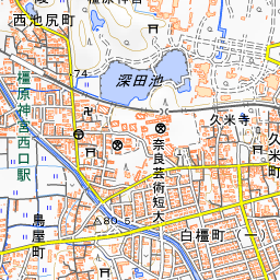
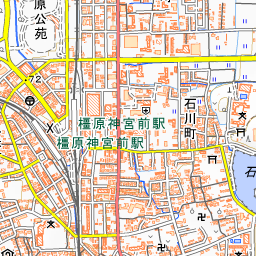
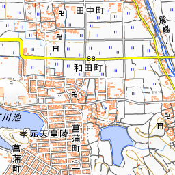
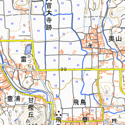
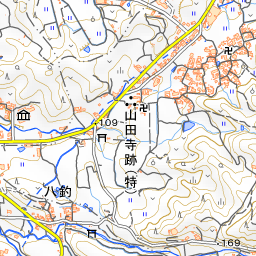
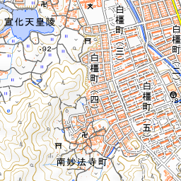
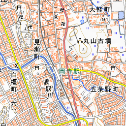
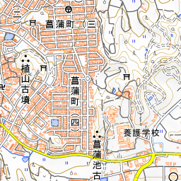

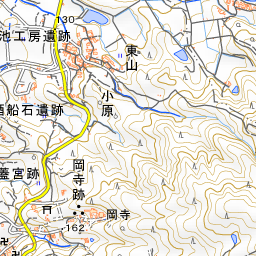
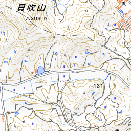
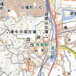
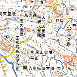
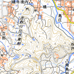
Spot location © OpenStreetMap contributors (ODbL)
Open in Google MapsGuides that include this spot (1)
Use asobot while you walk
- See where you are on the map and find spots nearby
- Listen to the guide's audio in course order, one after another (with subtitles)
- Walk to the next spot while following the map
Open on your phone
Scan to open this spot in asobot on your phone.