 ✨ AI Generated
Kuragari Pass
Japanese: 暗峠
Ikoma, Nara
This information was written by AI and may contain mistakes. Please check official sources for opening hours, fees, and other details before you go.
Found a mistake? Let us know with “✏️ Something's wrong” on this spot's screen in asobot →
🎧 Audio guide(1:10)
In short
Kuragari Pass is a mountain pass in the Ikoma Mountains, situated on the border between Ikoma City and Higashiosaka City in Osaka Prefecture. Used since ancient times as a pass on the shortest route connecting Osaka and Nara, it bustled during the Edo period with travelers heading to Ise and other destinations. Cobblestone paths still remain at the pass today, and the route is now a hiking course.
- A Cobblestone National Highway: Route 308, which traverses the pass, includes a paved cobblestone section, which is said to be rare for a national highway nationwide. It is also said to be a remnant from when it was paved during the sankin-kotai (alternate attendance) system of the Edo period.
- Origin of the Name: It is said to have been named for its dense growth of trees, which made it dark even during the day.
- The Descent on the Nara Side: The path descends gently from the pass toward Nara, with stone Buddhist statues dotting the way and views of terraced rice fields spreading out.
History and Highlights
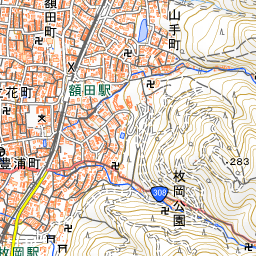
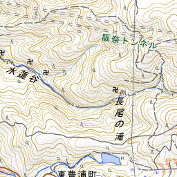
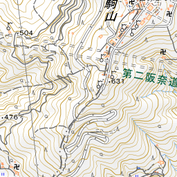
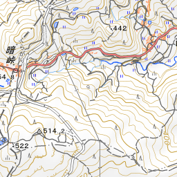
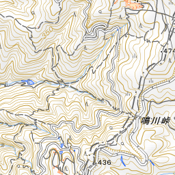
Kuragari Pass is a pass in the Ikoma Mountains on the border between Ikoma City and Higashiosaka City in Osaka Prefecture. Located in a saddle about 1.5 km south of the summit of Mount Ikoma, it sits at an elevation of 455 meters. The Nara Kaido road—the shortest route linking Osaka and Nara, now National Route 308—crosses over the pass.
It has long been an important pass across the Ikoma Mountains, and there is a theory that it is the "Kusaka no Tadagoe" route mentioned in the Kojiki and the Man'yoshu. During the Edo period, it bustled with travelers moving between Osaka and Yamato or Ise. At the pass, there were several inns, rest teahouses (kakechaya), and an official notice board (kosatsuba). The haiku poet Matsuo Basho also crossed this pass during his final journey. The pass was also important militarily; during the Siege of Osaka (Winter Campaign), Tokugawa Ieyasu ordered Endo Yoshitaka to guard it.
When the current JR Kansai Main Line opened in the middle of the Meiji period and the Kintetsu Nara Line opened at the beginning of the Taisho period, the pass road rapidly fell into decline. Regarding the origin of its name, besides the theory that it was dark even during the day due to dense tree cover, there is also a legend that it was originally called "Kura-ga-toge" (Saddle Pass) because the terrain around the pass resembles a horse saddle, which later evolved into its current name.
Highlights & How to Experience
- Cobblestones of the Pass: Cobblestone paving still remains at the pass today. For this 40-meter-long, 1-meter-wide cobblestone path, the surrounding areas were reinforced with concrete during road widening works in 1972. A cobblestone national highway is rare nationwide, and it is also said to be a remnant laid down to make walking easier during the Edo period's sankin-kotai journeys.
- Prefectural Border Sign and Stone Buddhas: Near the summit stands an aged signboard indicating the prefectural border, reading "Higashiosaka City, Osaka Prefecture" and "Ikoma City, Nara Prefecture." In the vicinity of the pass, stone statues of the Buddha that once welcomed travelers of old still remain.
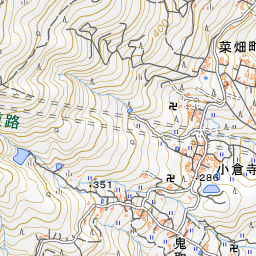
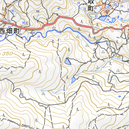
- Nishihata Terraced Rice Fields: East of the pass, in Nishihata-cho on the Nara Prefecture side, extend terraced rice fields known as the "Nishihata Terraced Rice Fields." The trail slopes gently down from the pass toward Nara, offering peaceful views of terraced fields dotted with roadside stone Buddhas.
Visiting Tips
Because the Osaka Prefecture side features a continuous steep uphill climb, walking the descending path from the pass down to the Nara side allows you to enjoy the scenery at a relaxed pace. Once you descend completely to the Nara side and reach the urban area, you will arrive at Minami-Ikoma Station on the Kintetsu Ikoma Line. If walking from the Osaka side, it takes about 40 minutes on foot from Kintetsu Hiraoka Station. In some sections, the pass road is less than 2 meters wide, and there are many hikers on weekends, so exercise ample caution if driving through by car. At the summit of Mount Ikoma, approximately 1.5 km north of the pass, lies the Ikoma Sanjo Amusement Park.
Use asobot while you walk
- See where you are on the map and find spots nearby
- Listen to the guide's audio in course order, one after another (with subtitles)
- Walk to the next spot while following the map
Open on your phone
Scan to open this spot in asobot on your phone.