 ✨ AI Generated
Nippara Limestone Cave
Japanese: 日原鍾乳洞
Okutama Town, Tokyo
This information was written by AI and may contain mistakes. Please check official sources for opening hours, fees, and other details before you go.
Found a mistake? Let us know with “✏️ Something's wrong” on this spot's screen in asobot →
🎧 Audio guide(0:58)
In short
Nippara Limestone Cave is a cave designated as a Tokyo Metropolitan Natural Monument, located in Nippara, Okutama Town. With a total length of 1,270 m and an elevation difference of 134 m, it boasts a scale said to be the greatest in the Kanto region. In the Middle Ages, it was a sacred site used as an ascetic training ground for Shugendo (mountain asceticism), and spots named after religious beliefs continue throughout the cave.
- The New Cave with Stalagmites and Columns: Discovered in 1962, the New Cave features rows of stalagmites and columns, making it the highlight of the tour.
- Names Bearing Traces of Faith: Locations with religiously inspired names, such as the Sanzu River and Sai-no-Kawara (Children's Limbo), appear one after another.
- 11 Degrees Celsius Year-Round: The interior of the cave remains at around 11 degrees Celsius throughout the year, feeling cool in summer and warm in winter.
History and Highlights
Nippara Limestone Cave is situated on the left bank of the Ogawa Valley, a tributary of the Nippara River, in Nippara, Okutama Town. It has a total length of 1,270 m and an elevation difference of 134 m, and is designated as a Tokyo Metropolitan Natural Monument. Its scale is said to be the greatest in the Kanto region, and only a portion of it is open to the public.
During the Kamakura period, this limestone cave became a sacred site as "Issekisan Daigongen" and was used as an ascetic practice ground for Shugendo. Following the separation of Shinto and Buddhism in the Meiji period, it has continued as Issekisan Shrine. Across from the limestone cave stands the shrine's main building.
The inside of the cave is broadly divided into the Old Cave and the New Cave. The Old Cave retains a hollow space where Kobo Daishi is said to have undergone religious training. The New Cave is a section discovered in an untouched state in 1962.
Inside the cave, there are successive spots named after their shapes or derived from religion. There are wide open spaces such as Amida-no-hara, Shide-no-yama, and Sai-no-Kawara, as well as small streams called Jigokudani and the Sanzu River. All are said to bear shapes that closely resemble their names.
Viewing and Experience Points
- Stalagmites and Columns of the New Cave: In the New Cave, numerous well-developed stalagmites and stone columns stand side by side. It is considered the highlight of the roughly 40-minute cave tour.
- Rocks Named for Their Shapes: You can walk while looking for places named after their shapes, such as the Byakue Kannon, the Gama Rock that evokes a giant toad, and the Tenjo Shirazu ("Endless Ceiling").
- Unfathomable Spans of Time: Stalactites hanging down like icicles take 200 years to grow just 3 centimeters. Stalagmites growing upward from the ground take 400 years.
Tips for Exploring
The interior of the cave stays at around 11 degrees Celsius throughout the year, feeling refreshingly cool in the summer and warm in the winter. The pathways are well-maintained and equipped with electric lighting. On rainy days and the day after rain, water drops drip heavily inside the cave, so having a simple raincoat is convenient. There are also areas within the cave illuminated by colorful lights. In August 1996 (Heisei 8), a suikinkutsu (a buried-pot water chime) was installed, allowing visitors to hear its clear, resonant sound inside the cave. When arriving by bus, it is an 8-minute walk from the "Shonyudo" bus stop on weekdays, and a 30-minute walk from the "Higashi-Nippara" bus stop on weekends and national holidays. The road leading there by car has many narrow sections where it is difficult even for passenger cars to pass each other, and traffic jams waiting for parking can occur during summer vacation weekends and the Obon period.
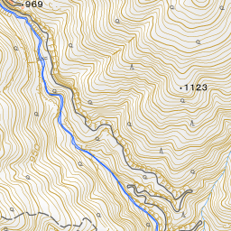
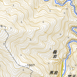
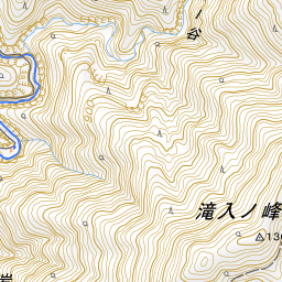
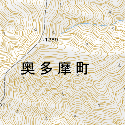
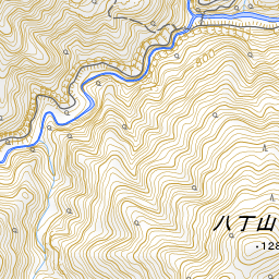
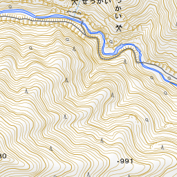
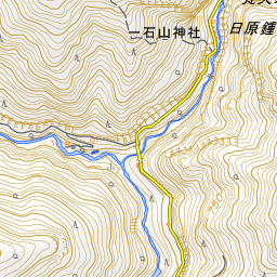
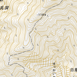
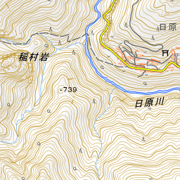
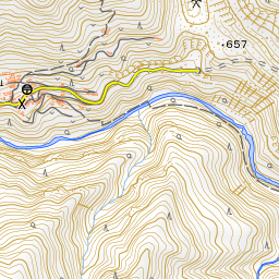
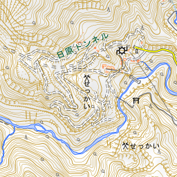
Spot location © OpenStreetMap contributors (ODbL)
Open in Google MapsGuides that include this spot (1)
Use asobot while you walk
- See where you are on the map and find spots nearby
- Listen to the guide's audio in course order, one after another (with subtitles)
- Walk to the next spot while following the map
Open on your phone
Scan to open this spot in asobot on your phone.