 ✨ AI Generated
Togetsukyo Bridge
Japanese: 渡月橋
Ukyo Ward, Kyoto
This information was written by AI and may contain mistakes. Please check official sources for opening hours, fees, and other details before you go.
Found a mistake? Let us know with “✏️ Something's wrong” on this spot's screen in asobot →
🎧 Audio guide(1:02)
In short
A 155-meter-long bridge spanning the Oi River (Katsura River), which flows at the foot of Arashiyama, and a scenic spot representative of Arashiyama. It is said to have originally been built by the monk Dosho during the Jowa era (834–848) of the Heian period, and later, because Retired Emperor Kameyama remarked that it looked like "a cloudless moon crossing over," it is said to have been named Togetsukyo Bridge.
- Views of Arashiyama and the Bridge: The backdrop of Arashiyama and the bridge form a single landscape, and many people visit, especially during the spring cherry blossom and autumn foliage seasons
- Wooden Railings: The present bridge looks like a wooden structure, but its piers and girders are made of reinforced concrete, with Japanese cypress (hinoki) used only for the railings. The present bridge was completed in June 1934 (Showa 9)
- One of the Ten Views of Tenryu-ji Temple: Togetsukyo Bridge is also counted among the "Ten Views of Tenryu-ji Temple," ten scenic spots within the precincts that Muso Soseki, who founded Tenryu-ji Temple, designated and composed poems about
History and Highlights
Togetsukyo Bridge is a 155-meter-long bridge spanning the Oi River, which flows at the foot of Arashiyama. The Oi River is also called the Katsura River and flows between Sagano and Arashiyama. Togetsukyo Bridge is a scenic spot representative of Arashiyama.
The bridge is said to have originally been built during the Jowa era (834–848) of the Heian period by the Buddhist monk Dosho. Dosho was a monk who received teachings from Kukai and also renovated the nearby Horin-ji Temple. Because Horin-ji Temple was located to the south of the bridge, it was also called Horin-ji Bridge. Later, Retired Emperor Kameyama, watching the moon move across the sky above the bridge, remarked that it looked like "a cloudless moon crossing over," and the bridge is said to have been named Togetsukyo Bridge (literally "Moon Crossing Bridge") after this remark.
The old bridge was located slightly further upstream than it is today, but in the 11th year of Keicho (1606), Suminokura Ryoi built it at its current location when excavating the Oi River. The bridge was frequently damaged or washed away whenever waters flooded, and the current bridge was completed in June 1934 (Showa 9).
Viewing and Experience Highlights
- Views of Arashiyama and the Bridge: The backdrop of Arashiyama and the bridge form a single landscape, attracting many visitors particularly during the spring cherry blossoms and autumn foliage seasons.
- Wooden Railings: While the present bridge looks like a wooden structure, its bridge piers and girders are made of reinforced concrete, with Japanese cypress (hinoki) used only for the railings.
- One of the Ten Views of Tenryu-ji Temple: Muso Soseki, who founded Tenryu-ji Temple, designated ten scenic spots within the precincts of Tenryu-ji Temple and composed poems about them. Togetsukyo Bridge is counted among these Ten Views of Tenryu-ji Temple.
Walking Tips
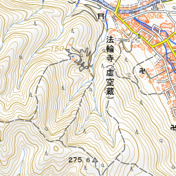
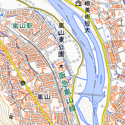
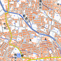
It is a 2-minute walk from Randen Arashiyama Station and an 8-minute walk from Hankyu Arashiyama Station. Crossing the bridge to the south leads immediately to the Arashiyama Park Nakanoshima Area. Horin-ji Temple is about 320 meters to the south, and Arashiyama Monkey Park Iwatayama is about 190 meters to the southwest. On the north side, Hogon-in Temple is about 370 meters to the northwest, and Tenryu-ji Temple is about 580 meters away.
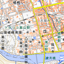
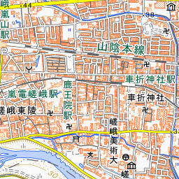
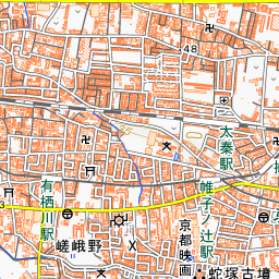
Spot location © OpenStreetMap contributors (ODbL)
Open in Google MapsGuides that include this spot (3)
Use asobot while you walk
- See where you are on the map and find spots nearby
- Listen to the guide's audio in course order, one after another (with subtitles)
- Walk to the next spot while following the map
Open on your phone
Scan to open this spot in asobot on your phone.