
Tokyo Metropolitan Hinohara Tomin-no-Mori
Japanese: 東京都檜原都民の森
Hinohara Village, Tokyo
This information was written by AI and may contain mistakes. Please check official sources for opening hours, fees, and other details before you go.
Found a mistake? Let us know with “✏️ Something's wrong” on this spot's screen in asobot →
🎧 Audio guide(1:02)
In short
Tokyo Metropolitan Hinohara Tomin-no-Mori is a mountain park situated at an elevation of 1,000 to 1,500 meters at the eastern foot of Mt. Mito. Comprising five distinct forests totaling 197 hectares, it features walking trails where visitors can stroll through natural woodlands where beech trees remain. The Otaki Path, which connects the Forest Hall (Shinrinkan) to Mito Falls, was the first route in Tokyo to be certified as a Forest Therapy Road.
- Otaki Path: An easy-to-walk, 1 km trail surfaced with wood chips, taking about 20 minutes one-way to reach the front of Mito Falls.
- Beech Forest: A scientifically valuable natural forest where beech trees are preserved.
- Woodworking Experience: Visitors can make keychains and other items at the Woodcraft Center. Woodworking classes are also held on the second floor.
History and Highlights
Tokyo Metropolitan Hinohara Tomin-no-Mori is a mountain park located in Kazuma, Hinohara Village. It is situated at an elevation of 1,000 to 1,500 meters at the eastern foot of Mt. Mito, the tallest of the Three Mountains of Okutama. It was developed to protect the rich woodlands, including valuable beech forests. It is located inside Chichibu-Tama-Kai National Park.
The forests span a total area of 197 hectares. The grounds are divided into five uniquely featured forest areas: the "Forest of Encounter," the "Forest of Living," the "Forest of Adventure," the "Forest of Wild Birds," and the "Beech Forest." The forest where beech trees remain is a scientifically precious natural forest. Each forest has walking trails where visitors can walk while observing plants and wild birds.
Near the entrance stands the Forest Hall (Shinrinkan). Inside, panels display and introduce the flora and fauna across the four seasons. It also has a restaurant. At the Woodcraft Center, visitors can craft keychains and other items. On the second floor, woodworking classes are held to make items such as chairs and desks.
The Otaki Path, connecting the Forest Hall to Mito Falls, was certified as Tokyo's first Forest Therapy Road in March 2007.
Viewing and Experience Highlights
- Walking the Otaki Path: A 1 km, 20-minute one-way trail. It is paved with wood chips and features the gentlest slope in Hinohara Tomin-no-Mori. A scenic viewpoint is located a 5-minute walk along the path, complete with a signboard indicating mountain names. On clear days, the Tokyo metropolitan area can be seen between the mountains.
- Viewing Mito Falls Up Close: Mito Falls is the waterfall located furthest upstream in the Aki River system. From the Takimi Bridge in front of the waterfall, visitors can view the water cascading deep into the valley from up close. There is also a rest shelter nearby.
- Choosing a Forest Course: Along the Forest of Living Outer Perimeter Course, visitors can catch a glimpse of mountain living and admire the Okutama mountain range from a ridge trail. The Mitosawa Stream and Wild Bird Course features a bird-watching hut.
Visitor Tips
From the "Tomin-no-Mori" bus stop and parking lot, it takes about 25 minutes on foot to Mito Falls. The Otaki Path is an easy walking course even for seniors and families with small children. Depending on your physical fitness, you can choose from courses suited for a gentle walk to Mito Falls, up to hiking-oriented courses. For climbing Mt. Mito, the Beech Path Course is the closest route. Going up to the summit via Mito Falls and Mushikari Pass and descending via Saiguchi Pass back to the Forest Hall takes around 3 to 4 hours. By car, it takes about 50 minutes from JR Musashi-Itsukaichi Station along the Aki River and Minami-Aki River. This area is also a major trailhead for climbing Mt. Mito. About 3.2 km to the east-southeast lies the settlement of Kazuma.
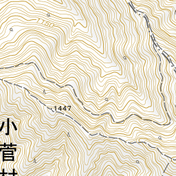
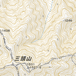
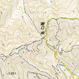
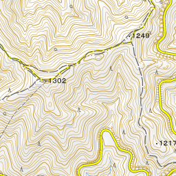
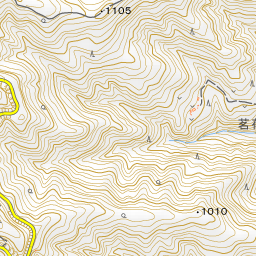
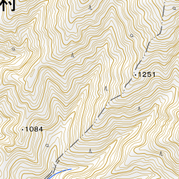
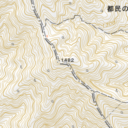
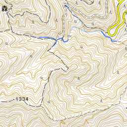
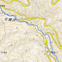
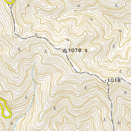
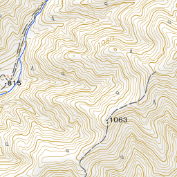
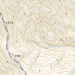
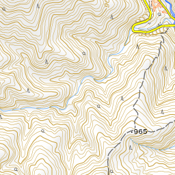
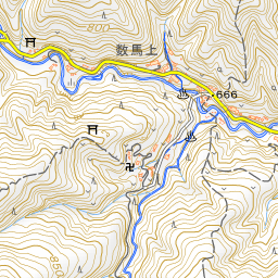
Spot location © OpenStreetMap contributors (ODbL)
Open in Google MapsUse asobot while you walk
- See where you are on the map and find spots nearby
- Listen to the guide's audio in course order, one after another (with subtitles)
- Walk to the next spot while following the map
Open on your phone
Scan to open this spot in asobot on your phone.