 ✨ AI Generated
Kuragari Pass
Japanese: 暗峠
Higashiosaka, Osaka
This information was written by AI and may contain mistakes. Please check official sources for opening hours, fees, and other details before you go.
Found a mistake? Let us know with “✏️ Something's wrong” on this spot's screen in asobot →
🎧 Audio guide(1:09)
In short
A mountain pass at an elevation of 455 meters that traverses the Ikoma Mountains, connecting Osaka and Nara. The name is said to derive from the fact that it was a mountain path so densely covered with trees that it remained dark even during the day. The Kuragarigoe Nara Kaido road that crosses the pass has been known since ancient times as the shortest route linking Naniwa (Osaka) and Nara, and in 1986 it was selected as one of the "100 Prominent Roads of Japan."
- Cobblestones Preserved on the Pass: Near the pass, cobblestone paving dating back to the Edo period remains, along with stone Buddhist statues that once greeted old-time travelers
- Pass Teahouse and Streetscape: Near the summit stands a traditional teahouse, and the houses and cobblestones around it retain traces of the past
- Matsuo Basho's Haiku: In 1694 (Genroku 7), during his final journey, Basho crossed this pass, and on September 9, the day of the Chrysanthemum Festival (Choyo), he composed the haiku "Kiku no ka ni / kuragari noboru / sekku kana"
History and Highlights
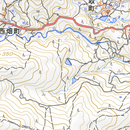
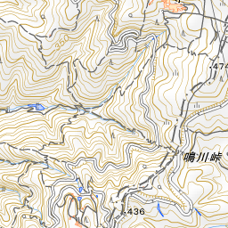
Kuragari Pass is a mountain pass that traverses the Ikoma Mountains, connecting Osaka and Nara. The top of the pass forms the border between Higashitoyoura-cho in Higashiosaka City, Osaka Prefecture, and Nishihata-cho in Ikoma City, Nara Prefecture, standing at an elevation of 455 meters. The name is said to derive from the fact that it was a mountain path so densely covered with trees that it remained dark even during the day.
The Kuragarigoe Nara Kaido road that crosses the pass has been known since ancient times as the shortest route linking Naniwa (Osaka) and Nara. During the Edo period, many travelers passed through, including those on pilgrimages to Ise Grand Shrine, and it flourished as a major arterial road until the opening of the Osaka Railway (now the JR Yamatoji Line) in the Meiji period. In 1694 (Genroku 7), during his final journey, the poet Matsuo Basho crossed this pass on his way to Osaka. On September 9, the day of the Chrysanthemum Festival (Choyo), he composed the haiku: "Kiku no ka ni / kuragari noboru / sekku kana" ("With the scent of chrysanthemums, / I climb Kuragari / on this festival day").
Today, National Route 308 and other roads largely follow the path of this historic highway. In 1986, Kuragarigoe Nara Kaido was selected as one of the "100 Prominent Roads of Japan."
Viewing and Experience Highlights
- Cobblestones Preserved on the Pass: Near the pass, cobblestone paving dating back to the Edo period remains, along with stone Buddhist statues that once greeted old-time travelers. Ascending from the Osaka side, the road surface changes from concrete to cobblestone around the prefectural border.
- Pass Teahouse and Streetscape: Near the summit stands a traditional teahouse, and the houses and cobblestones around it retain traces of the past. An old signboard indicating the border between the prefectures also stands here.
- Steep Osaka Ascent and Nara Terraced Rice Fields: A steep ascent continues from the Osaka side up to the pass. From the pass toward the Nara side, the path turns into a gentle descent, opening up to the beautiful terraced rice fields of Nishihata-cho, Ikoma City.
Walking Tips
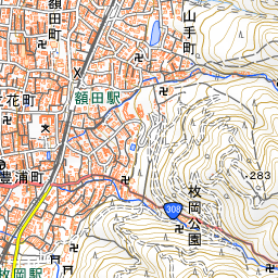
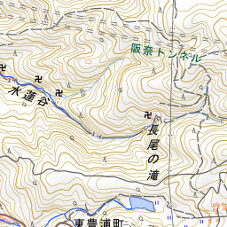
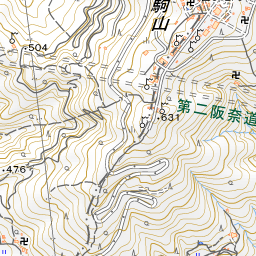
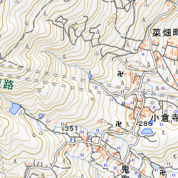
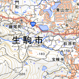
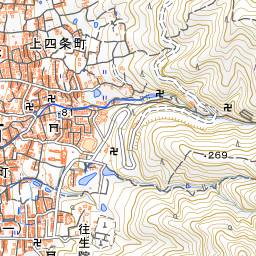
From the Osaka side, it is about a 40-minute walk from Hiraoka Station on the Kintetsu Nara Line. The hiking course guided by Osaka Prefecture passes through Hiraoka-jinja Shrine and Hiraoka Park, ascends Kuragarigoe Nara Kaido, crosses the pass, and heads toward Nara. The closest station on the Nara side is Minami-Ikoma Station on the Kintetsu Ikoma Line. Near the pass, some sections of the road are less than 2 meters wide—narrow enough that a single car can barely pass. On weekends, many hikers visit, so please walk with caution regarding vehicular traffic. About 930 meters southwest of the pass lies Fumin-no-Mori Narukawa Park. For details on Hiraoka-jinja Shrine and Hiraoka Park, please refer to the respective spot guides.
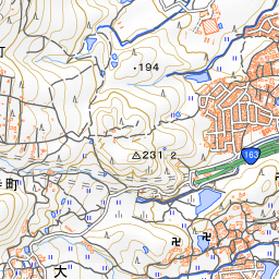
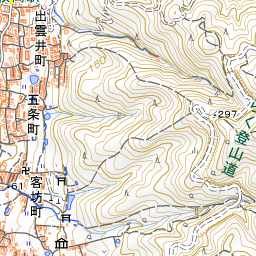
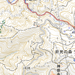
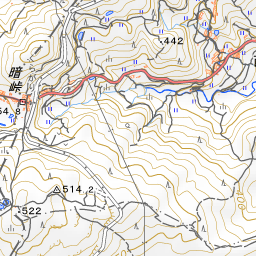
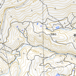
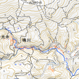
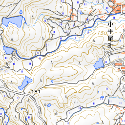
Spot location © OpenStreetMap contributors (ODbL)
Open in Google MapsUse asobot while you walk
- See where you are on the map and find spots nearby
- Listen to the guide's audio in course order, one after another (with subtitles)
- Walk to the next spot while following the map
Open on your phone
Scan to open this spot in asobot on your phone.