 ✨ AI Generated
Hatenashi Village
Japanese: 果無集落
Totsukawa Village, Nara
This information was written by AI and may contain mistakes. Please check official sources for opening hours, fees, and other details before you go.
Found a mistake? Let us know with “✏️ Something's wrong” on this spot's screen in asobot →
🎧 Audio guide(1:03)
In short
Hatenashi Village is a mountain settlement located halfway up the Hatenashi Pass in Totsukawa Village. The Kohechi route of the Kumano Kodo pilgrimage path, part of the UNESCO World Heritage site "Sacred Sites and Pilgrimage Routes in the Kii Mountain Range," passes directly through the settlement. Perched high with sweeping views across the Hatenashi Mountain Range, it is also referred to as the "Village in the Sky." Residents still live here today.
- An ancient path through front yards: The Kumano Kodo passes through the front yards of several private homes, with rice paddies and farm fields spreading out among the mountains.
- World Heritage stone monument: A stone monument stands just beyond the settlement; looking back offers a view of the mountain village framed by the ridges.
- 100 Selected Rural Communities of Japan: Its traditional scenery has been selected as one of the 100 Selected Rural Communities of Japan and designated as a Nara Prefecture Landscape Asset.
History & Highlights
Hatenashi Village is a settlement located midway up the Hatenashi Pass in Totsukawa Village. The Kohechi route of the Kumano Kodo pilgrimage trail, connecting Koyasan and Kumano Hongu, runs right through the village. The Kohechi crosses the rugged terrain of the Kii Mountain Range and is considered one of the steepest and most demanding routes among the Kumano pilgrimage paths. The Kohechi is registered as part of the UNESCO World Heritage site "Sacred Sites and Pilgrimage Routes in the Kii Mountain Range."
Situated at an elevated point overlooking the Hatenashi Mountain Range, the village offers panoramic vistas extending to distant ridges, earning it the nickname "Village in the Sky." Preserving traditional Japanese scenery, it has been chosen among the 100 Selected Rural Communities of Japan and designated as a Nara Prefecture Landscape Asset.
Within the settlement, the Kumano Kodo runs directly past the front yards of several private homes. Timeless rural scenes of rice paddies and cultivated fields unfold amid the mountains. This is an active community where residents still live, and the beautiful landscape is collectively preserved by the locals.
Along the path leading toward the Hatenashi Pass stand stone statues of the Kannon of the Saigoku 33 Pilgrimage. They are said to have been erected by local residents between 1922 (Taisho 11) and the following year to pray for travelers' safety along the journey. These 33 stone Kannon statues continue to watch over those traversing the pass today.
Viewing & Experience Points
- Climbing the stone-paved path to the village: Enter the ancient trail from the Hatenashi Pass trailhead and hike up the stone-paved path. Before long, the reservoir of Futatsuno Dam opens up below, and you will arrive at Hatenashi Village.
- World Heritage monument and the view: After walking through the front-yard areas of the village and continuing for a short distance, you will reach the World Heritage stone monument. Looking back from here provides an expansive view of Hatenashi Village atop the mountain against the surrounding mountain ridges.
- Sea of clouds: The village administration highlights Hatenashi Village as one of the spots where a sea of clouds (unkai) can be observed. When conditions such as high humidity, calm winds, and clear skies align, visitors may encounter it in the early morning from summer through winter.
Tips for Exploring
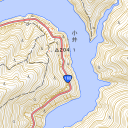
Totsukawa Onsen is located approximately 1.5 kilometers to the northeast. From the Totsukawa Onsen side, you can view the ridge where Hatenashi Village is situated across the lake of Futatsuno Dam. When walking, it takes about 40 minutes from the Hatenashi trailhead to reach the village.
Continuing further along the Kohechi leads over the Hatenashi Pass toward Kumano Hongu Taisha Shrine. The walking distance from Totsukawa Onsen to Kumano Hongu Taisha is approximately 15 kilometers. Once you pass Hatenashi Village, the route becomes an entirely mountainous trail all the way to Yagio in Hongu-cho, Tanabe City, Wakayama Prefecture, with no other way down along the route.
When visiting, please be considerate of the residents' daily lives. Keep voices low and do not enter private grounds, rice paddies, or fields. The village asks visitors to refrain from drone photography and from entering the area at night or in the early morning. Carry all trash home with you and do not use open flames within the settlement.
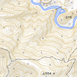
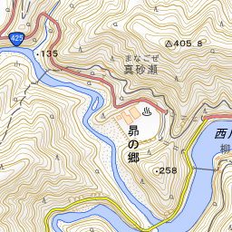
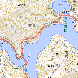
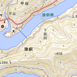
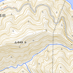
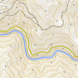
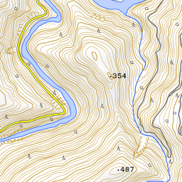
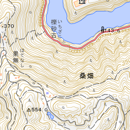
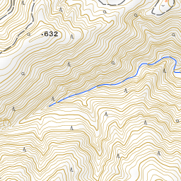
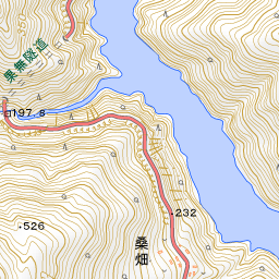
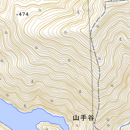
Spot location © OpenStreetMap contributors (ODbL)
Open in Google MapsGuides that include this spot (1)
Use asobot while you walk
- See where you are on the map and find spots nearby
- Listen to the guide's audio in course order, one after another (with subtitles)
- Walk to the next spot while following the map
Open on your phone
Scan to open this spot in asobot on your phone.