 ✨ AI Generated
Kozuya Bridge
Japanese: 上津屋橋
Yawata, Kyoto
This information was written by AI and may contain mistakes. Please check official sources for opening hours, fees, and other details before you go.
Found a mistake? Let us know with “✏️ Something's wrong” on this spot's screen in asobot →
🎧 Audio guide(1:01)
In short
A wooden bridge spanning the Kizu River, measuring 356.5 meters in total length and 3.3 meters in width, affectionately known as the "Nagarebashi Bridge" (flow bridge). It was built in 1953 (Showa 28) as a bridge with a structure that floats off so as not to block the flow of water during floods, and it washed away 22 times up to the washout in 2017.
- Drifting Mechanism: When the river water level reaches the height of the bridge girders, the girders and deck planks, connected to the piers by wire ropes, float up and begin to drift. Once the water recedes, the bridge is restored by setting them back onto the piers
- Hamacha on Both Banks: Tea plantations spread across the riverbed at the foot of the bridge, and the tea gardens in Kozuya and Hamadai, called "Hamacha," are known for producing high-quality tencha (green tea leaves used for matcha)
- Period Drama Filming Location: With its scenery reminiscent of stepping back in time, many period dramas (jidaigeki) have been filmed here
History and Highlights
Kozuya Bridge is a wooden bridge spanning the Kizu River, measuring 356.5 meters in total length and 3.3 meters in width, affectionately known as the "Nagarebashi Bridge" (flow bridge). Connecting Kozuya in Yawata City with Sayama in Kumiyama Town, it is among the longest wooden bridges in Japan.
It was constructed in March 1953 (Showa 28) as a prefectural road bridge. Until then, people crossed the river by ferryboat, but following strong local requests, a bridge designed to flow with the floodwaters rather than obstruct them was chosen within a limited budget. It was washed away by heavy rains in August of that very year, and it was washed away a total of 22 times up to 2017. Because it was washed away for four consecutive years starting from fiscal year 2011, during its restoration in 2016, the bridge deck was raised by 75 centimeters and parts of the piers were replaced with concrete to make it less prone to drifting. Kitayama Cedar from Kyoto is used for its wooden parts.
Along with the surrounding tea plantations, the bridge was registered as a Kyoto Prefecture Landscape Asset in 2015 and is also one of the constituent cultural properties of the Japan Heritage "800 Years of Japanese Tea History Walk." In 2019, it was selected as a Civil Engineering Heritage by the Japan Society of Civil Engineers.
Viewing and Experience Points
- Drifting Mechanism: When the river water level reaches the height of the bridge girders, the girders and deck planks float up and begin to drift. Because the girders and planks are connected to the piers by wire ropes, they do not wash away completely, and viewed from above, they line up like floating rafts. Once the water recedes, the bridge can be restored to its original state simply by setting them back onto the piers.
- Hamacha on Both Banks: At the foot of the bridge, tea plantations spread across the fertile, sandy riverbed; the tea gardens in Kozuya and Hamadai are specifically known as "Hamacha." The area is known for producing high-quality tencha (green tea leaves used for matcha), and the embankments curve around to avoid the tea gardens.
- Period Drama Filming Location: With its scenery reminiscent of stepping back in time, many period dramas (jidaigeki) have been filmed here. The bridge seamlessly blending into the natural landscape and the tea fields spreading across the riverbed create a poetic charm.
Walking Tips
Take a Keihan Bus from Iwashimizu-hachimangu Station on the Keihan Main Line and walk for about 5 minutes from the "Kozuya Nagarebashi" bus stop. A cycling road runs along the embankment of the Kizu River, serving as a recreational area for local residents. The bridge is exclusively for pedestrians, so bicycles and motorbikes must be dismounted and pushed across. As was the case when it was washed away by major floods or during the 2024 fire, the bridge may be closed to traffic until restoration is complete.
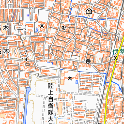
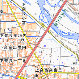
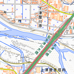
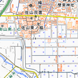
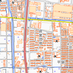
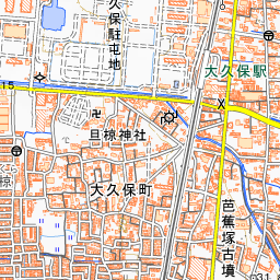
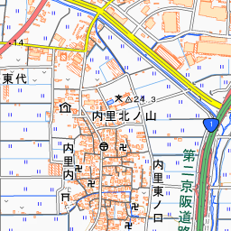
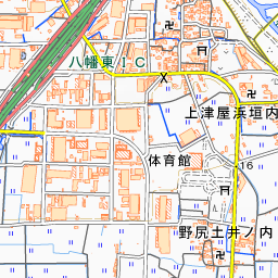
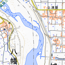
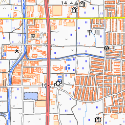
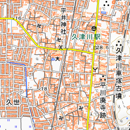
Spot location © OpenStreetMap contributors (ODbL)
Open in Google MapsUse asobot while you walk
- See where you are on the map and find spots nearby
- Listen to the guide's audio in course order, one after another (with subtitles)
- Walk to the next spot while following the map
Open on your phone
Scan to open this spot in asobot on your phone.