 ✨ AI Generated
Yamanobe-no-Michi Path
Japanese: 山の辺の道
Tenri, Nara
This information was written by AI and may contain mistakes. Please check official sources for opening hours, fees, and other details before you go.
Found a mistake? Let us know with “✏️ Something's wrong” on this spot's screen in asobot →
🎧 Audio guide(1:09)
In short
The Yamanobe-no-Michi Path is an ancient trail running along the eastern foothills of the Nara Basin, leading from Miwa to Nara. Known as the oldest road appearing in historical records, it is widely enjoyed as a hiking trail. The atmosphere of the ancient path is particularly well preserved from Isonokami-jingu Shrine in Tenri to the southern foot of Mt. Miwa.
- A Path of Ancient Shrines and Tumuli: Along the route, there are numerous imperial mausoleums, burial mounds (kofun), archaeological ruins, and historic shrines and temples.
- Walking Among Poetry Monuments: Along the road from Tenri to Sakurai, around 40 stone monuments engraved with poems from the Kojiki and Nihon Shoki as well as the Manyoshu have been erected.
- Overlooking the Basin: Along the way, visitors can view the Yamato Sanzan Mountains, the Katsuragi Mountains to the west, and Mt. Nijo.
History and Highlights
The Yamanobe-no-Michi Path is a road on the eastern side of the Nara Basin that traces the foothills from Sakurai to Nara. It played a major role in human traffic and the transmission of culture, and is also said to be Japan's oldest official road (kando). East of the Nara Basin, the mountains described in the Kojiki as a "green fence" (aogaki) stretch from north to south, and the trail weaves along the base of these mountains.
Today, the ancient atmosphere is best preserved from Isonokami-jingu Shrine in Tenri City to the southern foot of Mt. Miwa in Sakurai City. Usually, this section is referred to as the Yamanobe-no-Michi Path and is popular as a route for walking through history. The section connecting Tenri and Sakurai is said to have a total length of 13.4 kilometers. Shrines, temples, and tumuli line the way, including Isonokami-jingu Shrine, Chogaku-ji Temple, the Mausoleum of Emperor Sujin, Hibara-jinja Shrine, and Omiwa-jinja Shrine.
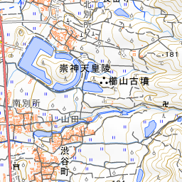
The name of the path is also preserved in the official names of imperial mausoleums located along it. The formal name of the Mausoleum of Emperor Sujin is "Yamanobe-no-Michi-no-Magari-no-Oka-no-E Imperial Mausoleum," and that of the Mausoleum of Emperor Keiko is "Yamanobe-no-Michi-no-E Imperial Mausoleum." The mausoleum of Emperor Keiko is located in Shibutani-cho, Tenri City.
This path overlaps with the Tokai Nature Trail in many places, and numerous trail markers have been erected. In 1979 (Showa 54), the prefecture, Tenri City, Sakurai City, and others formed the Yamanobe-no-Michi Beautification Promotion Council to maintain the trail markers and other signposts.
Viewing and Experience Highlights
- Poetry Monuments and Trail Markers: About 40 monuments carved with verses from the Kojiki and Nihon Shoki and the Manyoshu stand along the path between Tenri and Sakurai. On the roadside, there is also a small stone marker inscribed "Yamanobe-no-Michi" in the calligraphy of Kobayashi Hideo.
- Mausoleums of Ancient Emperors: The path runs in front of both the Mausoleum of Emperor Sujin and the Mausoleum of Emperor Keiko. Both mausoleum names include the characters for "Yamanobe-no-Michi."
- Basin Views: From various points along the trail, you can walk while gazing at the Yamato Sanzan Mountains. In the west, the Katsuragi Mountains and Mt. Nijo can be seen in the distance.
Walking Tips
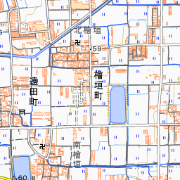
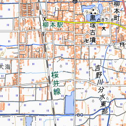
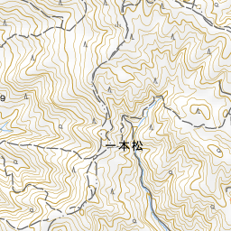
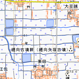
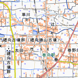
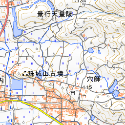
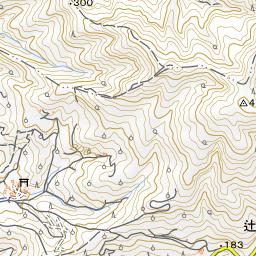
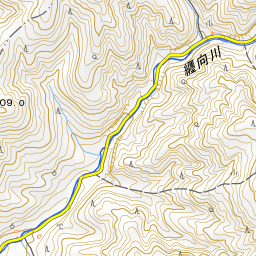
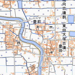
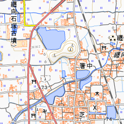
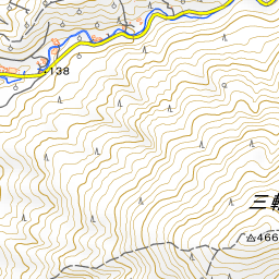
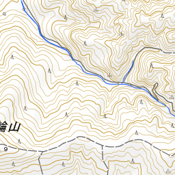
Walking the entire distance from Tenri to Miwa takes a full day. You can shorten your walking distance by using the JR Sakurai Line, which runs parallel to the path. One typical route begins by walking from Tenri Station to Isonokami-jingu Shrine, then continuing past Omiwa-jinja Shrine in the south to reach Miwa Station. In front of the gate of Chogaku-ji Temple is the Tenri City Trail Center, where you can find visitor information about the surrounding area. From the point on the map, the Mausoleum of Emperor Sujin is about 730 meters to the north, and Chogaku-ji Temple is about 1.1 kilometers in the same direction. Hibara-jinja Shrine is about 1.5 kilometers to the south-southeast, and Omiwa-jinja Shrine is about 2.5 kilometers to the south. Isonokami-jingu Shrine is about 5.2 kilometers to the north.

Spot location © OpenStreetMap contributors (ODbL)
Open in Google MapsUse asobot while you walk
- See where you are on the map and find spots nearby
- Listen to the guide's audio in course order, one after another (with subtitles)
- Walk to the next spot while following the map
Open on your phone
Scan to open this spot in asobot on your phone.