 ✨ AI Generated
Okutama Shuyu Road
Japanese: 奥多摩周遊道路
Okutama Town, Tokyo
This information was written by AI and may contain mistakes. Please check official sources for opening hours, fees, and other details before you go.
Found a mistake? Let us know with “✏️ Something's wrong” on this spot's screen in asobot →
🎧 Audio guide(1:03)
In short
Okutama Shuyu Road is a 19.7 km metropolitan road connecting Okutama Town and Hinohara Village. Opened in 1973 (Showa 48) as Tokyo's first toll road, it has been free of charge since 1990 (Heisei 2). It is known as a driving and touring route offering panoramic views of Lake Okutama, surrounding mountains, and the distant Tokyo city center.
- Views from Tsukiyomi No. 1 Parking Area: The parking area with the finest view on the road, with Lake Okutama sprawling out below.
- The highest point on Tokyo metropolitan roads: At an elevation of 1,146 m, the Kazahari Pass Parking Area is the highest point on the road and among all Tokyo metropolitan roads.
- Closed at night: The road is closed to traffic at night, as well as during rain or snow.
History and Highlights
Okutama Shuyu Road is a 19.7 km metropolitan road connecting Okutama Town and Hinohara Village. It opened in April 1973 as the first toll road in Tokyo and became free of charge in 1990. Passing through Chichibu-Tama-Kai National Park, the road is surrounded by steep mountains. Visitors can enjoy views of Lake Okutama as well as panoramic sights stretching to the distant urban center of Tokyo. It is popular as a driving and touring course, and has also been growing in popularity as a cycling route.
The entrance on the Okutama side is Mito Bridge. Built in 1970 with a length of 132 m, it features a rare Nielsen-Lohse arch bridge design. A short drive ahead brings you to Kawano Gate, the former site of the Kawano Tollgate. Beneath the electronic bulletin board stands an informational panel detailing the history of the road.
Tsukiyomi No. 1 Parking Area, located midway along the route, offers the most breathtaking view of all the parking areas. Below lies Lake Okutama and the Ome Kaido road on the opposite shore, while peaks such as Mt. Kokushi and Mt. Kumotori are visible in the distance. Further ahead, Tsukiyomi No. 2 Parking Area marks the border between Okutama Town and Hinohara Village. The Kazahari Pass Parking Area sits at an elevation of 1,146 m, serving as the highest point on Okutama Shuyu Road as well as the highest elevation among Tokyo metropolitan roads. A monument commemorating the highest point stands across from the parking area.
Viewing and Experience Points
- Overlooking Lake Okutama: Tsukiyomi No. 1 Parking Area presents a grand vista of Lake Okutama and the surrounding mountains. It is also a favored spot for photographing wild birds such as northern goshawks and mountain hawk-eagles.
- Views of the City Center and Mt. Fuji: On clear days, the high-rise skyline of Shinjuku and Tokyo Skytree can be seen from Sengen Ridge Parking Area. Walking down about 200 m toward Hinohara leads to the only spot along the entire road where Mt. Fuji can be viewed.
- Roadside Waterfall: On the Hinohara side, Yume-no-Taki is a mountain stream waterfall flowing from Mt. Mito, which can be viewed from Yume-no-Taki Bridge. Nearby are a commemorative monument erected around the time of the road's opening and an explanatory plaque.
Travel Tips
From the Okutama side, visitors enter Okutama Shuyu Road by crossing Mito Bridge. The first traffic light intersection marks the entrance to Tokyo Metropolitan Okutama Lakeside Park Yama-no-Furusatomura. On the Hinohara side, the Hinohara Tomin-no-Mori Parking Area serves as the entrance to Tokyo Metropolitan Hinohara Tomin-no-Mori and is also a trailhead for climbing Mt. Mito. The end of the route on the Hinohara side is Kuzuryu Bridge, beyond which continues the Hinohara Kaido road. Okutama Shuyu Road is closed at night and is also shut down during heavy rainfall or snow accumulation. There are no sidewalks from Sengen Ridge Parking Area to the Mt. Fuji viewing point or on Yume-no-Taki Bridge, so please watch out for vehicular traffic while walking. Motorcycle accidents frequently occur on downhill curves. There are no trash bins along the road, so please carry your litter home.
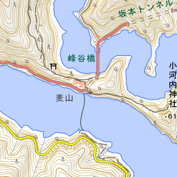
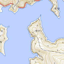
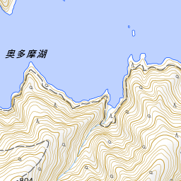


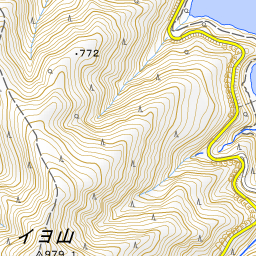
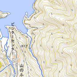
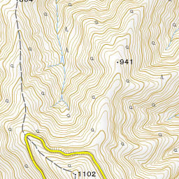
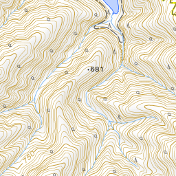
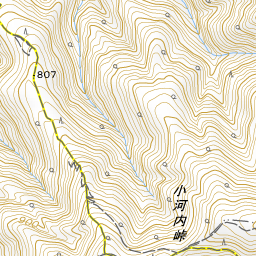
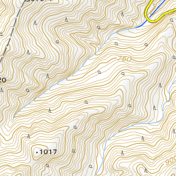
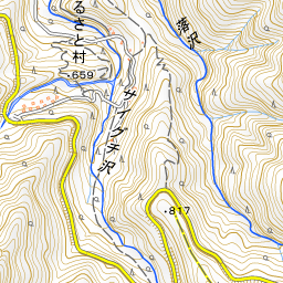
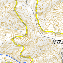
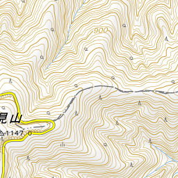
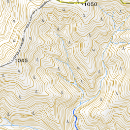
Spot location © OpenStreetMap contributors (ODbL)
Open in Google MapsUse asobot while you walk
- See where you are on the map and find spots nearby
- Listen to the guide's audio in course order, one after another (with subtitles)
- Walk to the next spot while following the map
Open on your phone
Scan to open this spot in asobot on your phone.