
Okutama Mukashi-michi
Japanese: 奥多摩むかし道
Okutama Town, Tokyo
This information was written by AI and may contain mistakes. Please check official sources for opening hours, fees, and other details before you go.
Found a mistake? Let us know with “✏️ Something's wrong” on this spot's screen in asobot →
🎧 Audio guide(1:06)
In short
The Okutama Mukashi-michi is a hiking course that follows the Old Ome Kaido road from Hikawa, where JR Okutama Station is located, to Ogochi, where Lake Okutama lies. The walking distance is about 10 km, and along the way you will find stone Buddhas, suspension bridges, and the remains of a railway that once carried materials for dam construction.
- Shirahige Giant Rock (Shirahige-no-Oiwa): The hall of Shirahige-jinja Shrine stands against the side of a massive rock designated as a Natural Monument by the Tokyo Metropolitan Government.
- Shidakura Suspension Bridge: Spanning the Sogaku Gorge, this 67.15-meter-long suspension bridge is the longest of its kind in the town.
- Roadside Prayers: Stone Buddhas that convey prayers woven into daily life still remain, such as Gozu Kannon, where people prayed for the safety of cattle and horses, and Mushiba Jizo, where people are said to have prayed for relief from toothaches.
History & Highlights
The Okutama Mukashi-michi refers to the section between Hikawa and Ogochi along what was once called the Old Ome Kaido. This road was the Koshu Ura Kaido, a back route that crossed Daibosatsu Pass from Kosuge to reach Kofu, and it was said to be about 8 km shorter than the main Koshu Kaido.
In the past, life in Ogochi was supported by trade with Enzan. In 1899 (Meiji 32), the route between Ogochi and Hikawa was rebuilt into a road that ran along relatively flat mountainsides. The distance was shortened to 10 km, shifting the trade route toward Hikawa. From this point on, charcoal production increased significantly.
In 1938 (Showa 13), a dedicated road for transporting dam construction materials was built between Hikawa and Nishikubo. This road was opened to the public in 1945 (Showa 20) and is now National Route 411.
From the Mukashi-michi, you can also see the traces of another transportation system: the Ogochi Line, a dedicated railway planned for transporting construction materials for the Ogochi Dam and opened in 1952 (Showa 27). As you follow the path, tunnels and bridges appear repeatedly.
Viewing & Experience Highlights
- Shirahige-jinja Shrine and Shirahige Giant Rock: The shrine hall is set against the side of the Shirahige Giant Rock, which is designated as a Tokyo Metropolitan Natural Monument. The enshrined deity is Shiotsuchi-no-Okina-no-Kami.
- Shidakura Suspension Bridge: Spanning the Sogaku Gorge, this is the town's longest suspension bridge at 67.15 meters in length. From the bridge, you can look down upon the rugged gorge.
- Roadside Stone Buddhas: Gozu Kannon is a statue where people prayed for the safe passage of cattle and horses through difficult spots on the old trail. There is also Mushiba Jizo, where people in the past—when there were no dentists—are said to have offered roasted soybeans to pray for the relief of toothaches.
Walking Tips
The course runs from Okutama Station to Lake Okutama, covering a walking distance of about 10 km, with an estimated travel time of around 4 hours. Because the one-way distance is about 10 km, you take a bus one way. Starting to walk from the entrance of the Mukashi-michi, you will soon come to Haguro-zaka. This slope lies in front of the shinmon gate of the historic Haguro Mita-jinja Shrine and was a challenging spot for people and horses carrying charcoal.
The trail changes from paved roads to unpaved paths and mountain trails, with some rough footing along the way. Be sure to wear comfortable walking shoes. In autumn, a giant Japanese maple (iroha-kaede) tree, said to be about 200 years old, displays vivid autumn colors atop a cliff.
When you approach Lake Okutama, stopping by Okutama Mizu-to-Midori-no-Fureaikan, which exhibits local history and folk performing arts of Okutama, is also recommended.
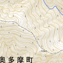
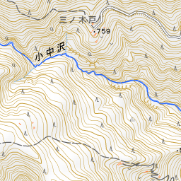
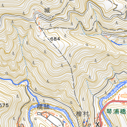
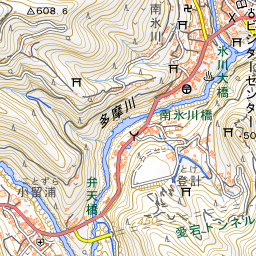
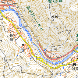
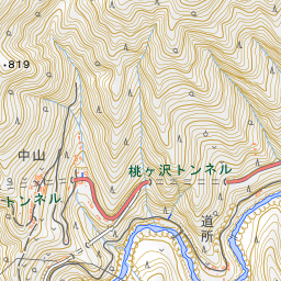
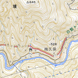
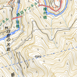
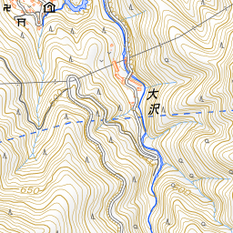
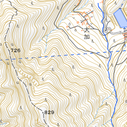
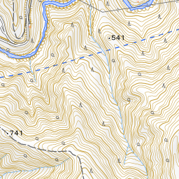


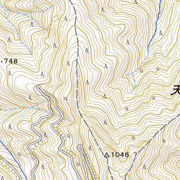
Spot location © OpenStreetMap contributors (ODbL)
Open in Google MapsGuides that include this spot (1)
Use asobot while you walk
- See where you are on the map and find spots nearby
- Listen to the guide's audio in course order, one after another (with subtitles)
- Walk to the next spot while following the map
Open on your phone
Scan to open this spot in asobot on your phone.