 ✨ AI Generated
Makimuku Ruins
Japanese: 纒向遺跡
Sakurai, Nara
This information was written by AI and may contain mistakes. Please check official sources for opening hours, fees, and other details before you go.
Found a mistake? Let us know with “✏️ Something's wrong” on this spot's screen in asobot →
🎧 Audio guide(1:05)
In short
The Makimuku Ruins are a national historic site located in Sakurai City. It is the site of a large-scale settlement that suddenly appeared in the early 3rd century and continued until the early 4th century, spanning approximately 2 kilometers east to west and approximately 1.5 kilometers north to south. It is one of Japan's largest settlement sites from the 3rd century and is regarded as the most prominent candidate site for the Kinai theory of Yamatai.
- Cedar Pillars at the Building Sites: A total of 65 cedar pillars have been erected on the backfilled sites of three buildings.
- Large Buildings of the First Half of the 3rd Century: The largest building is believed to have measured 19.2 meters north to south and 12.4 meters east to west.
- Pottery from Various Regions: Pottery from a wide range of areas has been excavated, including the Tokai region, southern Kanto, and northern Kyushu.
History and Highlights
The Makimuku Ruins are a large-scale settlement site in the southeastern part of the Nara Basin that suddenly emerged in the early 3rd century and was maintained until the early 4th century. Since 1971, the Sakurai City Board of Education and the Archaeological Institute of Kashihara, Nara Prefecture, have conducted 176 excavation surveys, revealing an unprecedented scale for this era measuring 2 kilometers east to west and 1.5 kilometers north to south. As one of Japan's largest settlement sites of the 3rd century, it is considered the leading candidate for the Kinai theory of Yamatai.
The name "Makimuku" was given when Makimuku Village was established in 1889 (the 22nd year of the Meiji period). It derives from the Makimuku Tamaki-no-miya palace of Emperor Suinin and the Makimuku Hishiro-no-miya palace of Emperor Keiko, both of which are said to have been located in this vicinity.
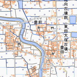
In the Tsuji district, excavations conducted since 2008 (Heisei 20) uncovered three embedded-pillar buildings believed to date from the first half of the 3rd century, aligned continuously from east to west. The largest building is thought to have been 19.2 meters north to south and 12.4 meters east to west. The buildings were aligned along the same axis and orientation and surrounded by fences, leading to the view that they constituted a chieftain's residence. There is also a theory that this large building complex was the palace of Himiko. On October 17, 2013, parts of the Tsuji and Ota districts were designated as a national historic site.
The excavated artifacts are also abundant. Pottery from a wide range of regions, starting from Tokai and extending from southern Kanto to northern Kyushu, has been unearthed, accounting for 15 to 30 percent of the total at certain spots. Over 2,000 peach pits were excavated from an earthen pit near the building sites. It has also become clear that ironware production was carried out here.
Viewing and Experience Points
- Cedar Pillars at the Building Sites: The building remains have been backfilled. Through work aimed at visualizing the archaeological remains, a total of 65 cedar pillars have been erected across the three building sites. The arrangement of the pillars allows visitors to envision the size of the structures.
- Dating of the Peach Pits: Dating tests revealed that the peach pits discovered beside the large building site—believed to have been used in rituals—are highly likely to date from between 135 AD and 230 AD. This partially overlaps with the era of Himiko.
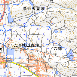
- Surrounding Burial Mounds: In the Makimuku area, burial mounds from the emergent period of the Kofun era are concentrated, including the Hashihaka Kofun Burial Mound, the Makimuku Ishizuka Kofun, and the Hokenoyama Kofun.
Walking Tips
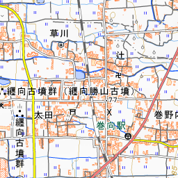
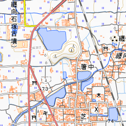
It is about a 15-minute walk from JR Makimuku Station. After viewing the cedar pillars at the building sites, you can extend your walk approximately 790 meters south to the Hashihaka Kofun Burial Mound. Hibara-jinja Shrine is approximately 1.6 kilometers to the southeast.

Guides that include this spot (1)
Use asobot while you walk
- See where you are on the map and find spots nearby
- Listen to the guide's audio in course order, one after another (with subtitles)
- Walk to the next spot while following the map
Open on your phone
Scan to open this spot in asobot on your phone.