 ✨ AI Generated
Ryuketsu-jinja Shrine
Japanese: 龍穴神社
Uda, Nara
This information was written by AI and may contain mistakes. Please check official sources for opening hours, fees, and other details before you go.
Found a mistake? Let us know with “✏️ Something's wrong” on this spot's screen in asobot →
🎧 Audio guide(1:04)
In short
Ryuketsu-jinja Shrine is an ancient shrine situated in a forest lined with giant cedar trees to the east of Muro-ji Temple, enshrining the water deity Takaokami-no-Kami. From the Nara period to the Heian period, imperial messengers from the court conducted rituals to pray for rain here. Upstream lies "Myokissho Ryuketsu," a cave where a dragon god is said to reside.
- Kasuga-zukuri Style Main Hall (Honden): Moved here in Kanbun 11 (1671) from the Wakamiya shrine pavilion of Kasuga-taisha Shrine in Nara, it is a designated Cultural Property of Nara Prefecture.
- Kissho Ryuketsu: The Ryuketsu of the rear shrine (okumiya) is located about a 30-minute walk from the shrine along a prefectural road and a forest road.
- Muro Lion Dance: At the annual autumn festival in October, two lions dance to pray for bountiful harvests and protection from evil.
History and Highlights
Ryuketsu-jinja Shrine, also called Muro Ryuketsu-jinja Shrine, boasts a history older than that of Muro-ji Temple. The deity enshrined here is Takaokami-no-Kami, the god of water. It corresponds to the "Muro Ryuketsu-jinja Shrine" of Uda District listed in the Jinmyocho (register of shrines) of the Engishiki.
The Muro River flowing in front of the shrine turns into the Uda River, Nabari River, and Kizu River, eventually flowing into Osaka Bay via the Yodo River. Located at its water source, the shrine has received national reverence as a deity to whom people prayed for rain. From the Nara period through the Heian period, rainmaking rituals were conducted here by imperial messengers dispatched by the court.
The origin of this faith lies in the worship of a rocky cave in the mountain stream as a "Ryuketsu" (dragon hole) where a dragon king dwells. The Ryuketsu was worshipped by the imperial court as a deity of rain prayer from the early Heian period, and is mentioned as "Muro Ryuketsu" and other names in old records. Today, this cave is known as "Kissho Ryuketsu (Myokissho Ryuketsu)."
Muro-ji Temple was founded based on the faith in this Ryuketsu. There was a time when Muro-ji Temple was called the shrine-temple (jinguji) of this shrine, and the two have been worshipped as an integrated whole since ancient times. In Jogan 9 (867), the deity of the Ryuketsu was granted the court rank of Senior Fifth Rank, Lower Grade (Shogoinoge).
Viewing and Experience Highlights
- Kasuga-zukuri Style Main Hall: The current main hall was relocated in Kanbun 11 (1671) during the Edo period from the Wakamiya shrine building of Kasuga-taisha Shrine. Featuring the Kasuga-zukuri architectural style, it is a designated Cultural Property of Nara Prefecture.
- Dragon-shaped Stream: In front of the Ryuketsu at the rear shrine, clear water from Mount Muro flows in the shape of a dragon. This site has been considered an "iwasaka" (sacred rock precinct) since ancient times.
- Muro Lion Dance: The "Muro Lion Dance," performed by two lions at the annual autumn festival in October, is an Intangible Folk Cultural Property designated by Nara Prefecture.
Tips for Exploring
Take a bus bound for "Muro Ryuketsu-jinja Shrine" from Kintetsu Muroguchi-Ono Station and get off at the final stop, right in front of the shrine. Muro-ji Temple is located about 700 meters to the west-northwest from here, making it easy to visit together. After paying your respects at the shrine grounds, you can reach the Kissho Ryuketsu of the rear shrine by walking for about 30 minutes toward Soni Village along Prefectural Route 28 and a forest road. While walking along the approach, be sure to take note of the giant cedar trees surrounding the shrine.


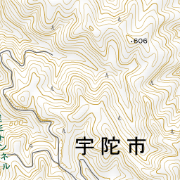
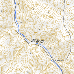
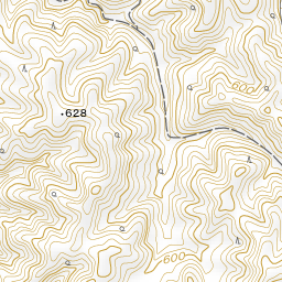


Spot location © OpenStreetMap contributors (ODbL)
Open in Google MapsGuides that include this spot (1)
Use asobot while you walk
- See where you are on the map and find spots nearby
- Listen to the guide's audio in course order, one after another (with subtitles)
- Walk to the next spot while following the map
Open on your phone
Scan to open this spot in asobot on your phone.