 ✨ AI Generated
Ochiai River
Japanese: 落合川
Higashikurume, Tokyo
This information was written by AI and may contain mistakes. Please check official sources for opening hours, fees, and other details before you go.
Found a mistake? Let us know with “✏️ Something's wrong” on this spot's screen in asobot →
🎧 Audio guide(1:02)
In short
The Ochiai River is a 3.4-kilometer first-class river that flows eastward through Higashikurume City in Tokyo and merges with the Kurome River near the prefectural border. It is rich in spring water, and in 2008, the "Ochiai River and Minamisawa Spring Group" became the only site in Tokyo to be selected by the Ministry of the Environment for the "100 Exquisite Waters of the Heisei Era." Along the riverfront walking paths, visitors can also enjoy seasonal plants.
- Abundant spring water: The downstream area near Shimodani Bridge is said to have a daily flow of about 50,000 tons.
- A place to get close to the water: The area around the Ochiai River Ikoi-no-Mizube waterside park serves as a playground for children, mainly in the summer.
- Clear-stream wildlife: Creatures such as the Japanese eight-barbel loach, floating bur-reed (nagae-mikuri), and kingfishers can be observed.
History & Highlights
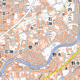
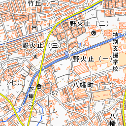
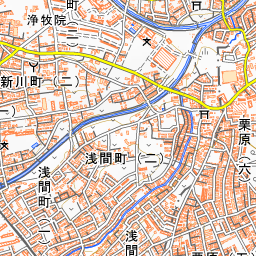
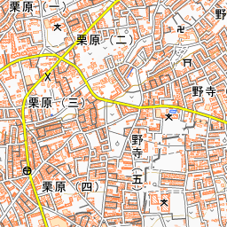
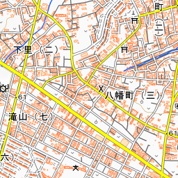
The Ochiai River is a first-class river whose water source is near Hachimancho in Higashikurume City. Flowing eastward through the city, it joins with the Tateno River downstream and merges with the Kurome River near the prefectural border. With a course of 3.4 kilometers, it is the second-longest river in the city.
The abundance of water is due to the local topography. As valleys carved into the plateau reach the Musashino gravel layer beneath the loam layer, there are many spring points throughout the basin. The daily flow is said to be about 10,000 tons in the Minamisawa area, and about 50,000 tons near Shimodani Bridge downstream.
In the past, the river was used as irrigation water for fields and paddies. After World War II, residential development advanced throughout the basin, and river improvements began following severe typhoon damage in 1966. For a time afterward, the river was polluted. Eventually, renovations to walking paths and revetment improvements progressed, and in 1997, places where people can play in the river were created, including the "Ochiai River Ikoi-no-Mizube."
In June 2008, the "Ochiai River and Minamisawa Spring Group" was selected as the only site in Tokyo for the Ministry of the Environment's "100 Exquisite Waters of the Heisei Era." In this selection, high value was placed on the fact that local residents had proactively and sustainably carried out conservation activities.
Things to See & Do
- Observe aquatic plants in the river: The aquatic plant nagae-mikuri (floating bur-reed) is an endangered species. Along the Ochiai River, it is said to thrive across almost the entire stretch. Look for slender leaves stretching above the water's surface from beneath, or floating gently in the current.
- Look for waterside wildlife: Fish such as the Japanese eight-barbel loach (hotoke-dojo) and Japanese dace (aburahaya), as well as birds such as eastern spot-billed ducks, intermediate egrets, and kingfishers, can be seen. In winter, ducks that have migrated from Siberia can also be spotted.
- Enjoy closeness to the river: Around the Ochiai River Ikoi-no-Mizube, there are no fences bordering the river, allowing visitors to engage directly with the water. Primarily in summer, it also serves as a playground for children. While wading in the shallow waters is possible, caution is required when water levels rise.
Walking Tips
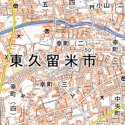
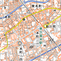
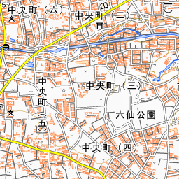
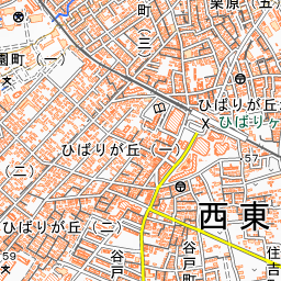
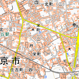
For starting a walk, the Ochiai River Ikoi-no-Mizube, a 10-minute walk from Higashikurume Station, is an easy-to-find spot. Along the riverside walking paths, visitors can enjoy plants throughout the four seasons. The wild mustard that paints the banks yellow is one of them.
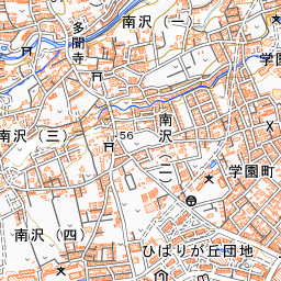
The Tokyo Walking Map's "Ochiai River Course" is a route of about 2.8 kilometers (approx. 42 minutes) that starts at Higashikurume City Hall and visits spots including Ikoi-no-Mizube, the Minamisawa Greenery Conservation Area, Minamisawa Hikawa Shrine, and Tamon-ji Temple.
For a side trip, there is the Chikurin Park, home to about 2,000 moso bamboo trees. A legend remains at the mountain gate (sanmon) of Tamon-ji Temple that a village zelkova tree was floated down the Ochiai River all the way to Edo to have a sculptor carve it.
Use asobot while you walk
- See where you are on the map and find spots nearby
- Listen to the guide's audio in course order, one after another (with subtitles)
- Walk to the next spot while following the map
Open on your phone
Scan to open this spot in asobot on your phone.