 ✨ AI Generated
Katsuragi Kodo
Japanese: 葛城古道
Gose, Nara
This information was written by AI and may contain mistakes. Please check official sources for opening hours, fees, and other details before you go.
Found a mistake? Let us know with “✏️ Something's wrong” on this spot's screen in asobot →
🎧 Audio guide(1:09)
In short
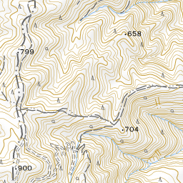
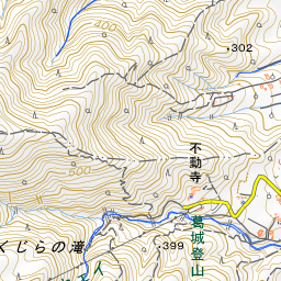
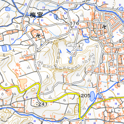
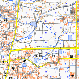
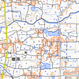
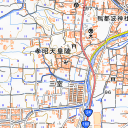
Katsuragi Kodo is a walking trail of approximately 13 kilometers running north to south through Gose City. Ancient shrines and historic ruins associated with the powerful ancient clans of Katsuragi and Kamo are dotted across the rural landscape at the foot of the Katsuragi Mountain Range. It is the western path facing the Yamanobe-no-Michi Path that runs along the east of the Yamato Plain. You can walk from the Roku Jizo Stone Buddhas in the north to Takakamo-jinja Shrine in the south.
- Stone Buddhas of Kuhon-ji Temple: Over 1,800 stone Buddhas line the path behind the main hall.
- View of the Yamato Plain: Turning south from the Roku Jizo Stone Buddhas, a rural landscape opens up, offering a panoramic view of the Yamato Plain.
- Nagara Settlement and Giant Cedar Trees: The route passes through the settlement of Nagara with its many traditional old houses, and along the approach to Takamahiko-jinja Shrine flanked by towering cedar trees.
History and Highlights
Katsuragi Kodo is a path running along the foot of the Katsuragi Mountain Range on the west side of the Yamato Plain. Facing the Yamanobe-no-Michi Path to the east, it is also called "Katsuragi-no-Michi." It runs north to south through Gose City with a total length of approximately 13 kilometers. Scattered along the path are ancient shrines and historic sites connected to the Katsuragi and Kamo clans, which were ancient powerful clans.
The northern landmark is the Roku Jizo Stone Buddhas. Six Jizo figures are carved into a large stone. This stone is said to have been washed down to its current location by a debris flow in the Muromachi period. It is believed that villagers carved the figures to pray for rebirth in the Pure Land. Turning south from here, the rural landscape immediately opens out, offering a panoramic view of the Yamato Plain.
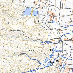
South of the Roku Jizo Stone Buddhas stands Kuhon-ji Temple, founded during the Nara period by Gyoki. Along the path behind the main hall line over 1,800 stone Buddhas excavated from the temple grounds and the mountain behind. They are said to have been dedicated prior to departure for battle as spiritual stand-ins by soldiers who allied with Kusunoki Masashige during the conflicts of the Nanboku-cho period.
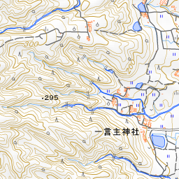
Beyond Kuhon-ji Temple, the path gradually narrows. Among the giant cedar trees stands a stone monument marking the Takaoka-no-Miya site of Emperor Suizei, the 2nd emperor. The path passes Katsuragi Hitokotonushi-jinja Shrine, traverses the Nagara settlement with its many old houses, and climbs a mountain path leading to Hashimoto-in Temple. The plateau around here is the legendary site associated with the heavenly realm "Takamagahara." After passing the approach to Takamahiko-jinja Shrine shaded by giant cedar trees, the path descends to Takakamo-jinja Shrine at the foot of the mountain.
Highlights for Viewing and Experiencing
- Banmizu no Tokei (Water Turn Clock): Located between the Roku Jizo Stone Buddhas and Kuhon-ji Temple. Because the soil here absorbs water quickly, a person on duty changes the flow of the irrigation canal at set times to ensure water reaches every rice field.
- Hill Overlooking the Nara Basin: A small hill is located near the parking area on the north side of Kuhon-ji Temple. You can view the Nara Basin where the Yamato Sanzan Mountains stand.
- Autumn Red Spider Lilies (Higanbana): These can be seen around the stone Buddhas at Kuhon-ji Temple and in the countryside surrounding Katsuragi Hitokotonushi-jinja Shrine. They bloom all together around the autumn equinox.
Walking Tips
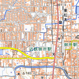
Take a bus bound for Katsuragi Ropeway-mae from Kintetsu Gose Station and get off at Sarume-bashi, which is close to the Roku Jizo Stone Buddhas. From here, walk south. Walking times are approximately 15 minutes to Kuhon-ji Temple, about 10 minutes to the Takaoka-no-Miya Site monument, and about 15 minutes to Katsuragi Hitokotonushi-jinja Shrine. Beyond that, it takes about 50 minutes to Gokuraku-ji Temple, about 35 minutes to Hashimoto-in Temple, about 15 minutes to Takamahiko-jinja Shrine, and about 40 minutes to Takakamo-jinja Shrine. From Takakamo-jinja Shrine, it is about a 15-minute walk to the Kaze-no-Mori bus stop on the national highway. While most of the route is paved, there are also mountain paths with steep climbs and descents. Be sure to wear comfortable walking shoes. Because there are few eateries and vending machines along the path, it is advisable to bring drinks and a boxed lunch.
Guides that include this spot (1)
Use asobot while you walk
- See where you are on the map and find spots nearby
- Listen to the guide's audio in course order, one after another (with subtitles)
- Walk to the next spot while following the map
Open on your phone
Scan to open this spot in asobot on your phone.