 ✨ AI Generated
Tsukishima
Japanese: 月島
Chuo City, Tokyo
This information was written by AI and may contain mistakes. Please check official sources for opening hours, fees, and other details before you go.
Found a mistake? Let us know with “✏️ Something's wrong” on this spot's screen in asobot →
🎧 Audio guide(1:04)
In short
Tsukishima is a town created through land reclamation at the mouth of the Sumida River during the Meiji period. Born from the very first urban planning project in modern Japan, it still preserves the alleys and nagaya (traditional row houses) built as residences for factory workers. Along Tsukishima Nishinaka-dori Street, specialty restaurants serving monjayaki—a dish originating from dagashi (traditional children's snacks)—stand side by side.
- Monja Street: Tsukishima Nishinaka-dori is also known as "Tsukishima Monja Street" due to its abundance of monjayaki restaurants.
- Alleys and Nagaya: Nagaya row houses line orderly alleys based on the town planning of the Edo period.
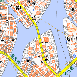
- Tsukuda Island: The adjacent Tsukuda Island is an island created at the beginning of the Edo period by fishermen from Settsu Province.
History and Highlights
Tsukishima is an island built through land reclamation at the mouth of the Sumida River. During the Meiji period, sediment flowed into the river mouth, causing difficulties for ship traffic. Dredging work was conducted to clear sediment from the riverbed, and starting in 1887, that excavated soil was used to create new land. The land born in 1892 as "Tsukishima Area No. 1" is today's Tsukishima.
The name Tsukishima was chosen by a resolution of the Tokyo City Council at the time, named after "Tsuki no Misaki" (Moon Cape), a moon-viewing spot that once existed in Tokyo Bay. Another theory suggests that the name comes from a homophone written with characters meaning "built island," since it was newly built in the sea. Tsukishima is a town born from the very first urban planning in modern Japan.
By the time World War I began, many factories and warehouses had been built in Tsukishima. The alleys and nagaya that still remain today were constructed as residences for the people working there. The current Nishinaka-dori shopping street is a street that developed between the shipyard on Ishikawajima and the Ishii Iron Works located in Tsukishima 3-chome.
For a long time, travel to and from the outside of the island relied on ferryboats. The "Tsukishima Ferry" is said to have begun with rowboats in 1892, shortly after reclamation was completed. The ferry service was discontinued in 1940 when the Kachidoki Bridge was completed.
Highlights & Experiences
- Monja Street: Tsukishima Nishinaka-dori is also called "Tsukishima Monja Street" because many monjayaki restaurants gather here. The roots of monjayaki lie in dagashi. Approximately 50 restaurants are members of the local Tsukishima Monja Promotion Cooperative Association.
- Alleys and Nagaya: Tsukishima's alleys were built in an orderly fashion based on the Edo-period "itcho" block unit, which measured about 120 meters square. A single alley is about 50 meters long, flanked by roughly 24 nagaya row houses on both sides. A traditional way of life still lingers in these towns lined with nagaya.
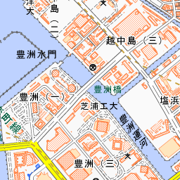
- Tsukuda Island and Sumiyoshi-jinja Shrine: Adjacent Tsukuda Island is an island created when fishermen, primarily from Tsukuda Village in Settsu Province (present-day Osaka), were granted tidal flats by the shogunate. Its reclamation was completed in 1644. The island's Sumiyoshi-jinja Shrine serves as the local tutelary deity (ujigami) for the Tsukishima district. The alleys on Tsukuda Island are only about 1 meter wide.
Walking Tips
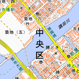
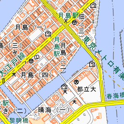
Exit 7 of Tsukishima Station on the Tokyo Metro Yurakucho Line and Toei Oedo Line leads directly to the Nishinaka-dori shopping street. It is also about a 7-minute walk from Kachidoki Station on the Toei Oedo Line. After enjoying monjayaki, step off the main street into the alleys and take a stroll through the townscape lined with nagaya. Because the alleys are residential living spaces, please walk quietly. At Tsukuda-kobashi Bridge on Tsukuda Island, the contrast with the River City high-rise condominium towers soaring in the background forms one of the iconic scenes representing Chuo Ward. Kachidoki Bridge is about 610 meters to the west, and crossing it brings you to Tsukiji.



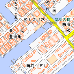
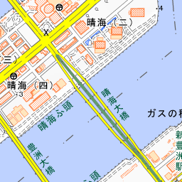
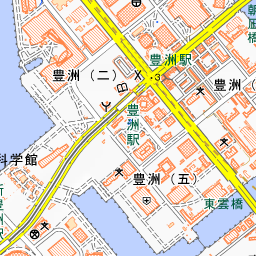
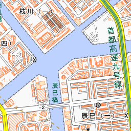
Spot location © OpenStreetMap contributors (ODbL)
Open in Google MapsGuides that include this spot (1)
Use asobot while you walk
- See where you are on the map and find spots nearby
- Listen to the guide's audio in course order, one after another (with subtitles)
- Walk to the next spot while following the map
Open on your phone
Scan to open this spot in asobot on your phone.