 ✨ AI Generated
Mt. Kongo
Japanese: 金剛山
Chihayaakasaka Village, Osaka
This information was written by AI and may contain mistakes. Please check official sources for opening hours, fees, and other details before you go.
Found a mistake? Let us know with “✏️ Something's wrong” on this spot's screen in asobot →
🎧 Audio guide(1:09)
In short
The main peak of the Kongo Mountain Range on the border between Osaka and Nara Prefectures, standing at an elevation of 1,125 meters. The highest point in Osaka Prefecture (elevation 1,056 meters) is also on the Osaka side of this mountain. In ancient times it was called Mt. Katsuragi, and ever since En no Ozunu underwent ascetic training here during the Nara period, as the center of Katsuragi Shugen, it became a sacred mountain on par with Mt. Kinpusen in Yoshino. The entire mountain was designated a National Historic Site in 1934.
- Katsuragi-jinja Shrine and Tenporin-ji Temple: Further up from the summit stands Katsuragi-jinja Shrine, enshrining Hitokotonushi no Okami, Emperor Go-Daigo, and Kusunoki Masashige. Along the approach path, there are the "Meoto Sugi" (Married Couple Cedars), which look as if a husband and wife are holding hands. Tenporin-ji Temple is said to have been founded by En no Ozunu
- Beech Forests and Seasonal Views: The western slope above the mid-mountain level is surrounded by a natural forest of large beech trees. From the summit, you can overlook the Osaka Plain and the Nara Basin. Many visitors come for cherry blossoms in spring, cool air in summer, and autumn foliage in autumn, while winter is even more bustling than summer, with numerous climbers coming to see the rime frost
- Fumin no Mori Chihaya Enchi: Located near the summit, at the highest elevation in the prefecture. The Chihaya Museum of Stars and Nature offers astronomical observation and nature learning programs, and there are also campsites and barbecue grounds
History and Highlights
Mt. Kongo is the main peak of the Kongo Mountain Range located on the border between Osaka and Nara Prefectures, standing at an elevation of 1,125 meters. It is included in the Kongo-Ikoma-Kisen Quasi-National Park, and the highest point in Osaka Prefecture is also on the Osaka side of this mountain, at an elevation of 1,056 meters. The address is Chihaya, Chihayaakasaka Village, while the area near the summit belongs to Gose City in Nara Prefecture.
In ancient times, Mt. Kongo was called Mt. Katsuragi. Ever since En no Ozunu underwent ascetic training on this mountain during the Nara period, Shugendo flourished, and as the center of Katsuragi Shugen, it became a sacred mountain on par with Mt. Kinpusen in Yoshino. The name Mt. Kongo is derived from the mountain name (sango) of Tenporin-ji Temple, which is located near the summit.
During the Middle Ages, the foot of the mountain on the Kawachi side was the home base of the Kusunoki clan. In 1331, Kusunoki Masashige raised an army at Akasaka Castle and further built a castle in Chihaya to fight the forces of the Kamakura shogunate, bringing sudden fame to the mountain. The entire mountain was designated a National Historic Site in 1934.
Viewing and Experience Points
- Katsuragi-jinja Shrine and Tenporin-ji Temple: Further up from the summit stands Katsuragi-jinja Shrine, enshrining Hitokotonushi no Okami, Emperor Go-Daigo, and Kusunoki Masashige. Along the approach path, there is the "Meoto Sugi" (Married Couple Cedars), which look as if a husband and wife are holding hands. Tenporin-ji Temple is said to have been founded by En no Ozunu. The area around the summit is surrounded by large cedar trees, giving it a solemn atmosphere that remains dim even during the day.
- Beech Forests and Seasonal Views: The western slope above the mid-mountain level is surrounded by a natural forest of large beech trees, serving as a haven for small birds. From the summit, you can overlook the Osaka Plain and the Nara Basin. Many visitors come seeking cherry blossoms in spring, cool air in summer, and autumn foliage in autumn, while winter is even more bustling than summer with numerous climbers visiting to see the rime frost (muhyo).
- Fumin no Mori Chihaya Enchi: Located near the summit at the highest elevation in the prefecture is the Fumin no Mori Chihaya Enchi park. The Chihaya Museum of Stars and Nature offers astronomical observation and nature learning programs, and there are also campsites and barbecue grounds.
Walking Tips
On the Osaka side, the route leading from Kongo Tozanguchi (trailhead) near the ruins of Chihaya Castle to the shrine office at the summit via the Chihaya Hondo Path is popular. It takes about one hour from the trailhead to the summit. You can also take a Nankai Bus from Kawachi-Nagano Station to the final stop, "Kongosan (Fushimi-togeguchi)," and walk the hiking trail for about 60 minutes to reach Chihaya Enchi. About 500 meters up the Fushimi Forest Road stands the "Horse Chestnut of Chihaya," an Osaka Prefecture Natural Monument estimated to be approximately 300 years old. Note that the village-operated Mt. Kongo Ropeway was dismantled in fiscal year 2025. Many falling accidents have occurred in the Tsutsujiodani valley, which deviates from the recommended climbing course. Please stick to the hiking trails shown on the village course map.
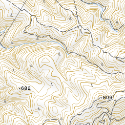
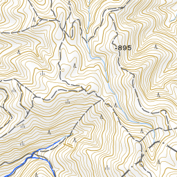
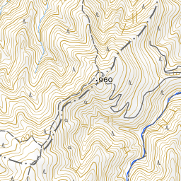
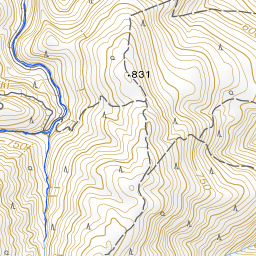

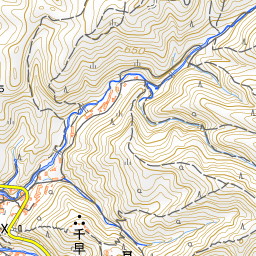
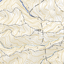
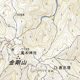
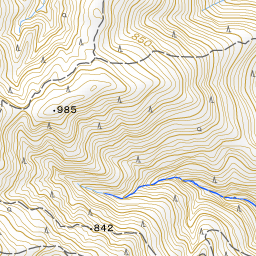
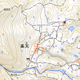
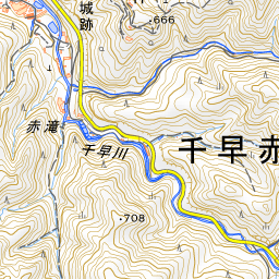
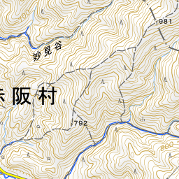
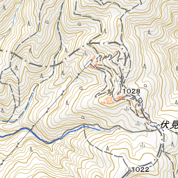

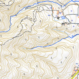
Spot location © OpenStreetMap contributors (ODbL)
Open in Google MapsGuides that include this spot (1)
Use asobot while you walk
- See where you are on the map and find spots nearby
- Listen to the guide's audio in course order, one after another (with subtitles)
- Walk to the next spot while following the map
Open on your phone
Scan to open this spot in asobot on your phone.