 ✨ AI Generated
Todoroki Valley Park
Japanese: 等々力渓谷公園
Setagaya City, Tokyo
This information was written by AI and may contain mistakes. Please check official sources for opening hours, fees, and other details before you go.
Found a mistake? Let us know with “✏️ Something's wrong” on this spot's screen in asobot →
🎧 Audio guide(1:00)
In short
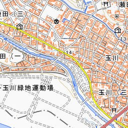
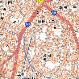
Todoroki Valley Park is a municipal park in Setagaya Ward that preserves the valley along the Yazawa River. It is known as the only valley in Tokyo's 23 wards, stretching for about 1 kilometer, formed by the Yazawa River carving into the southern edge of the Musashino Plateau.
- Golf Bridge and the Valley Walking Path: Descending the stairs from the foot of Golf Bridge near Todoroki Station leads to a walking path that continues along the flow of the Yazawa River.
- Todoroki Valley Tunnel Tomb No. 3: One of the horizontal tunnel tombs found on the valley cliffs dating from the late Kofun period to the Nara period, designated as a Tokyo Historic Site.
- Japanese Garden and Shoin: Across the river from Todoroki Fudoson Temple, there is a shoin (drawing room building) built in 1961 and a Japanese garden created in 1973.
History and Highlights
Todoroki Valley is a valley formed by the Yazawa River carving into the southern edge of the Musashino Plateau. It extends for about 1 kilometer and is said to be the only valley in Tokyo's 23 wards. The valley is designated as a Tokyo Place of Scenic Beauty, and the area along the gorge forms the Setagaya municipal Todoroki Valley Park.
Large trees such as shirakashi (bamboo-leaf oak), keyaki (Japanese zelkova), and muku (Aphananthe aspera) line the valley slopes. Along the valley, there are places where cross-sections of geological strata showing how the Musashino Plateau was formed can be clearly seen. Plentiful water springs out from between the Shibuya clay layer and the Musashino gravel layer.
On the cliff of the valley's left bank, six or more horizontal tunnel tombs (oketsubo) built from the late Kofun period to the Nara period have been found.
In the downstream section of the valley stands Todoroki Fudoson Temple, a branch temple of Mangan-ji Temple, with Fudo Waterfall cascading within its grounds. According to temple legend, Kogyo Daishi discovered a valley identical to one in his dreams, struck a rock with his shakujo (pilgrim's staff) causing a waterfall to flow forth, and enshrined Fudo Myoo there, marking the beginning of the site. There is also a theory that the place name Todoroki originated from the roaring sound (todoroki) of this waterfall, though there are various theories and it is not certain.
Viewing and Experience Points
- Golf Bridge: A bridge spanning the entrance to the valley near Todoroki Station. In the early Showa period, a spacious golf course of about 8 hectares was located nearby, which gave the bridge its name. The current structure is a red arch bridge built in 1961, which can be looked up at from the walking path.
- Todoroki Valley Tunnel Tomb No. 3: A horizontal tunnel tomb discovered in 1973. It was preserved because it retained its typical shape and the bones of the interred person as well as the burial goods were in good condition. It has a depth of 13 meters, and its interior is shaped like a sake flask split in half.
- Japanese Garden and Shoin: Located in the downstream area of the Yazawa River, on the opposite bank from Todoroki Fudoson Temple. The shoin was built in 1961. The garden, featuring a pond, a stream, and stone-paved stairway paths, was created by a renowned landscape architect in 1973 and remains preserved in its original form. There is also a sunny lawn area that can be used for a rest during a walk through the valley.
Tips for Exploring
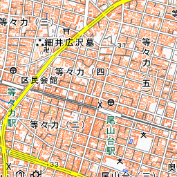
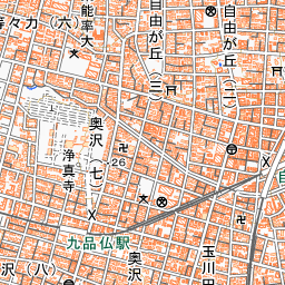
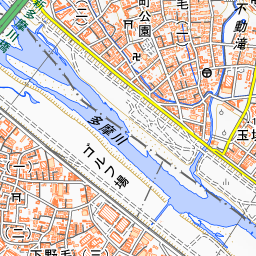
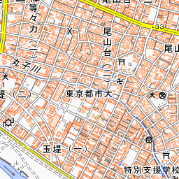
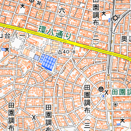
It is about a 3-minute walk from Todoroki Station on the Tokyu Oimachi Line. Descending the stairs at the foot of Golf Bridge leads to a walking path that follows the Yazawa River heading toward the Tama River. Continuing down the walking path allows you to visit Tunnel Tomb No. 3, the Japanese garden and shoin, and Todoroki Fudoson Temple with Fudo Waterfall. The paths are narrow, with some spots lacking railings or having poor footing, so please yield to one another and walk carefully. As there are sections without night lighting, please finish your walk before it gets dark. In heavy rain, the river water level rises suddenly, so avoid approaching the river. There are no parking spaces for cars or bicycles.
Guides that include this spot (1)
Use asobot while you walk
- See where you are on the map and find spots nearby
- Listen to the guide's audio in course order, one after another (with subtitles)
- Walk to the next spot while following the map
Open on your phone
Scan to open this spot in asobot on your phone.