
Kuzuha Battery Site Park
Japanese: 楠葉台場跡公園
Hirakata, Osaka
This information was written by AI and may contain mistakes. Please check official sources for opening hours, fees, and other details before you go.
Found a mistake? Let us know with “✏️ Something's wrong” on this spot's screen in asobot →
🎧 Audio guide(1:02)
In short
The remains of a riverside artillery battery built by the Edo shogunate on the left bank of the Yodo River, completed in 1865 (Keio 1) with Katsu Kaishu as the person in overall charge. Its true aim was to establish a barrier at the entrance to Yamashiro Province to prevent pro-imperial, anti-foreign sonno-joi samurai from entering Kyoto, and this was also why it was built along a river, which is rare for an artillery battery. It was designated a national Historic Site in 2011 (Heisei 23).
- Western-Style Fortification Technique: A Western-style fortification technique called the "bastion style" (ryohoshiki) was incorporated, with bastions provided only toward Osaka in the south and west, and three artillery positions were placed on the southern earthen rampart
- Remains Indicated by Plantings: In the historic site park, low trees are planted to show the outlines of the remains, and the park has been open to the public since 2016 (Heisei 28). There are no reconstructed buildings
- Remaining Battery Remains: One battery position remains on the east side. It is considered the only riverside battery in Japan where remains still exist
History and Highlights
The Kuzuha Battery Site (Kuzuha Daiba Ato) is the remains of a riverside artillery battery built by the Edo shogunate on the left bank of the Yodo River. It was completed in 1865 with Katsu Kaishu as the person in overall charge. The area around Kuzuha had long been a key hub of land and water transportation, and an important location on the route from Osaka to Kyoto.
The impetus was an incident in September 1854, when Russia's Putyatin led warships and appeared off Tempozan in Osaka Bay. Later, the Aizu Domain, serving as Kyoto Military Commissioner, submitted a proposal to build artillery batteries; however, their true aim was to establish a barrier at the entrance to Yamashiro Province to prevent pro-imperial, anti-foreign sonno-joi samurai from entering Kyoto. This was also why it was built along a river, which is rare for an artillery battery. Takahama Battery was built on the opposite bank of the Yodo River, and Kajiwara Battery upstream. Along with Kajiwara Battery and Hashimoto Jinya (encampment), Kuzuha Battery secured the border region between Yamashiro, Settsu, and Kawachi provinces.
The battery incorporated a Western-style fortification technique called the "bastion style" (ryohoshiki). While Goryokaku in Hakodate prepared in all directions with five protruding bastions, Kuzuha Battery provided bastions only toward Osaka in the south and west, and three artillery positions were placed on the southern earthen rampart. During the Battle of Toba-Fushimi in 1868, the Obama Domain of the shogunate side was stationed at Kuzuha Battery; however, the Tsu Domain at the battery on the opposite bank fired artillery at the former shogunate forces, causing them to collapse and retreat.
Points for Viewing and Experiencing
- Blueprints and Excavation: In 1997, the blueprint "Kashu Katano-gun Kuzuha-mura Kanmon Ezu Ichibukei" was made public, and subsequent excavations uncovered a large moat and the southern entrance. It was designated a national Historic Site in 2011.
- Remains Indicated by Plantings: In the historic site park, low trees are planted to show the outlines of the remains, and guide boards, information signs, and paths have been arranged, opening to the public in 2016. There are no reconstructed buildings.
- Remaining Battery Remains: One battery position remains on the east side. It is considered the only riverside battery in Japan where remains still exist.
Walking Tips
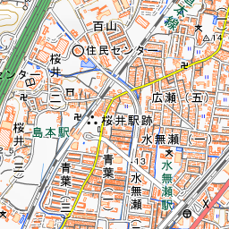
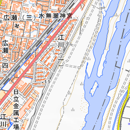
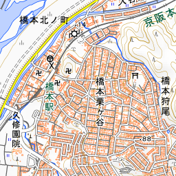
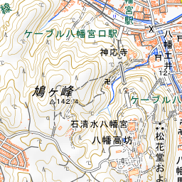
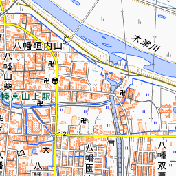
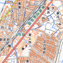
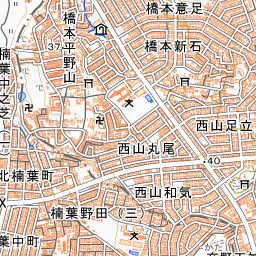
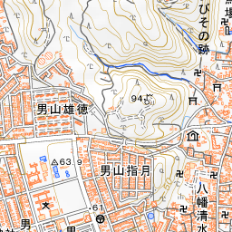
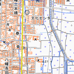
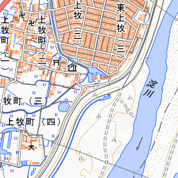
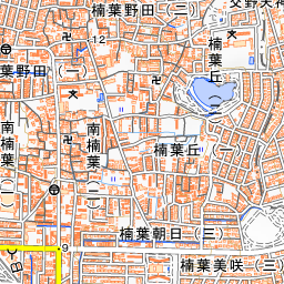
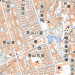
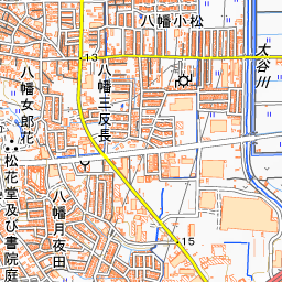
It is about a 15-minute walk from Keihan Electric Railway's Hashimoto Station. While viewing the information signs in the park, trace the battery's layout facing Osaka to the south and west along the plantings. About 1.3 kilometers to the southeast is Katano Tenjin-sha Shrine.


Spot location © OpenStreetMap contributors (ODbL)
Open in Google MapsUse asobot while you walk
- See where you are on the map and find spots nearby
- Listen to the guide's audio in course order, one after another (with subtitles)
- Walk to the next spot while following the map
Open on your phone
Scan to open this spot in asobot on your phone.