 ✨ AI Generated
Byobuiwa Rock
Japanese: 屏風岩
Soni Village, Nara
This information was written by AI and may contain mistakes. Please check official sources for opening hours, fees, and other details before you go.
Found a mistake? Let us know with “✏️ Something's wrong” on this spot's screen in asobot →
🎧 Audio guide(1:06)
In short
Byobuiwa Rock rises on the west side of Mt. Kabutodake in Soni Village. As its name suggests, it is a sheer cliff face that resembles a standing folding screen (byobu). The cliff of columnar joints forms a precipice and was designated a national Natural Monument in 1934. From Byobuiwa Koen Park at the base of the rock, visitors can gaze up at the cliff wall.
- Cliff Wall of Columnar Joints: The cliff wall, marked by vertical pillar-like fractures, stretches for 2 kilometers and rises sharply like the teeth of a saw.
- Wild Cherry Blossoms and the Cliff Wall: In spring, more than 300 wild cherry trees bloom in the park at the base, including large trees over 100 years old.
- Autumn Foliage: The contrast between the park and the cliff face colored by autumn leaves is also a highlight.
History and Highlights
Byobuiwa Rock is a 940-meter-high rocky mountain located west of Mt. Kabutodake in Soni Village. On its southern face rises a cliff wall resembling a standing folding screen, just as its name implies. It stretches for 2 kilometers, towering sharply like a saw's blade.
The cliff wall features vertical pillar-like fractures known as columnar joints. This fractured cliff face forms a sheer precipice approximately 200 meters high.
In December 1934, Byobuiwa Rock was designated a national Natural Monument together with the nearby Kabutoiwa Rock and Yoroiiwa Rock. In the designation's commentary, it is considered a typical example of a precipice formed by lava layers of columnar joints. Kabutoiwa Rock and Yoroiiwa Rock are also part of the same lava layer, and they are said to be shaped like their respective names, encircling the mountainside with sheer cliffs.
To the east of Byobuiwa Rock stands Mt. Kabutodake, shaped like a samurai helmet (kabuto). It has an elevation of 920 meters and is also called Mt. Medake. Further east rises Mt. Yoroidake, a rugged, masculine rocky mountain resembling a warrior in armor (yoroi). It stands at 894 meters and is also called Mt. Odake.
Viewing and Experience Tips
- Looking Up from Byobuiwa Koen Park: At the foot of the cliff lies Byobuiwa Koen Park. From the park, you can look up at the southern face marked with vertical columnar fractures.
- Wild Cherry Blossom Season: The park is home to more than 300 wild cherry trees, including giants over a century old. The typical viewing season is from mid-April to late April. Around the same time, mitsuba-tsutsuji (azaleas) and other flowers bloom on the cliff wall.
- Cliff Wall in Autumn Foliage: In autumn, visitors can enjoy the contrast between the park and the cliff face painted in fall colors.
Walking Advice
After looking up at the cliff wall from the park, try tracing the vertical fractures on the southern face with your eyes from bottom to top. It is also possible to hike along the ridge of Byobuiwa Rock.
The Soni Highlands, known for their fields of Japanese pampas grass (susuki), are located about 6 kilometers east-northeast of here. Visiting both makes for a good itinerary.
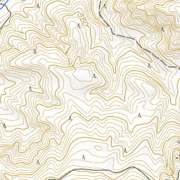
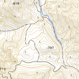
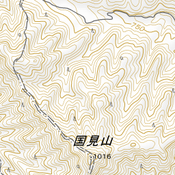
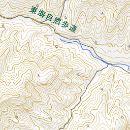
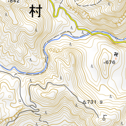
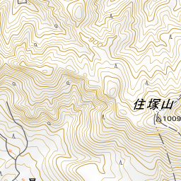
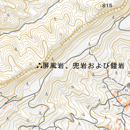
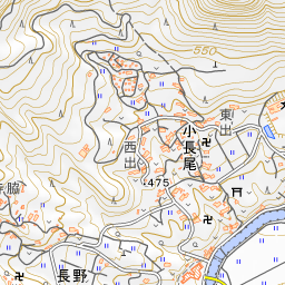
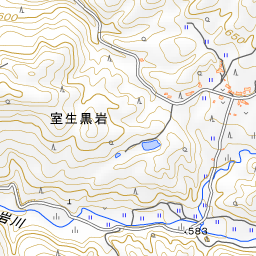
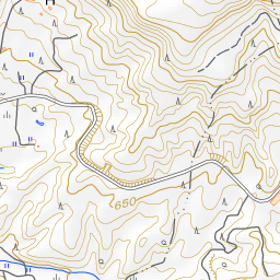
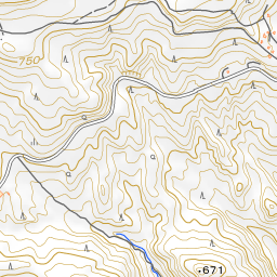
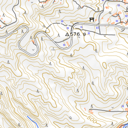
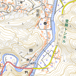
Spot location © OpenStreetMap contributors (ODbL)
Open in Google MapsGuides that include this spot (1)
Use asobot while you walk
- See where you are on the map and find spots nearby
- Listen to the guide's audio in course order, one after another (with subtitles)
- Walk to the next spot while following the map
Open on your phone
Scan to open this spot in asobot on your phone.