 ✨ AI Generated
Miyakejima Island
Japanese: 三宅島
Miyake Village, Tokyo
This information was written by AI and may contain mistakes. Please check official sources for opening hours, fees, and other details before you go.
Found a mistake? Let us know with “✏️ Something's wrong” on this spot's screen in asobot →
🎧 Audio guide(1:03)
In short
Miyakejima Island is a volcanic island floating in the sea about 180 km south of Tokyo, roughly the same size as the area encircled by the Yamanote Line. Mt. Oyama towers in the center of the island, and the scenery shaped by repeated eruptions resembles a natural volcanic museum. It is also known as a "bird island" where approximately 250 species of birds have been identified.
- Volcanic island scenery: Landscapes created by volcanic eruptions, such as lava fields and rugged coastlines, can be seen throughout the island.
- Island of wild birds: You can observe wild birds found only in limited regions, including the Izu thrush (Akakokko), a designated national Natural Monument.
- Island of myth and exiles: Historic sites associated with shrines, myths, and exiles from the Edo period remain all over the island.
History and Highlights
Located about 180 km south of Tokyo and roughly the same size as the area encircled by the Yamanote Line, Miyakejima Island is an active volcanic island belonging to the Fuji Volcanic Zone. Encircling Mt. Oyama at the center, five settlements—Kamitsuki, Izu, Igaya, Ako, and Tsubota—lie at the foot of the mountain. The island is mainly formed of basalt, and repeated eruptions have created landscapes of desolate lava fields and rugged coasts. The scenery shaped by repeated eruptions resembles a natural volcanic museum. The island belongs to Fuji-Hakone-Izu National Park.
In modern history, eruptions occurred in 1962, 1983, and 2000. During the 2000 eruption, an island-wide evacuation order was issued on September 2. The order was lifted about four and a half years later, on February 1, 2005.
There are several theories regarding the origin of the island's name. A legend says that Kotoshironushi-no-Mikoto, said to be the deity who developed the Izu Islands, crossed over and ruled the neighboring islands. One theory holds that the name originated as "Miyakejima" (shrine-family island) because there were 12 prestigious ancient shrines on the island. Another theory suggests it came from the name of a person exiled here in the 8th century. According to a nationwide list of shrines, 12 of the 24 shrines listed for the Izu Islands are said to be concentrated on Miyakejima Island, and many myths and legends remain.
During the Edo period, the island was directly controlled by the shogunate. It was also an island of exile, with more than 1,000 people banished here over the course of about 200 years. Historic sites associated with Kabuki actor Ikushima Shingoro and painter Hanabusa Itcho remain throughout the island. In 1878 (Meiji 11), jurisdiction over the island transferred from Shizuoka Prefecture to present-day Tokyo.
Highlights and Activities
- Walking through traces of eruptions: Traces of a school engulfed by lava in 1983 can be seen along the Volcano Experience Trail. From the Shichito Observation Deck midway up the mountain, on clear days, you can look out from Izu Oshima in the north to Hachijojima in the south.
- Spotting wild birds: Miyakejima Island has been designated an Important Bird Area (IBA) by the Wild Bird Society of Japan and is called a "bird island." Approximately 250 bird species have been confirmed. Among them, wild birds are especially abundant around Tairo Pond, whose surrounding path is also called "Japan's Best Birdsong Path."
- Playing in the sea: Directly washed by the Kuroshio Current, the waters around the island are rich in fish. Many visitors come every year for fishing and diving.
Tips for Exploring
From Tokyo, it takes about 6 hours and 30 minutes by overnight ship departing from Takeshiba Passenger Ship Terminal, arriving at the island early in the morning. Small airplanes depart from Chofu Airport, and helicopter services are also available. On the island, you can also rent a bicycle to ride around. There are still restricted-entry zones in the Mt. Oyama area centered on the summit. You can learn in detail about the formation of a volcanic island at Mt. Oyama, view the remains of a village swallowed by lava at the Volcano Experience Trail, and explore a broadleaf evergreen forest and crater lake at Tairo Pond. Be sure to also extend your trip to Shiitori-jinja Shrine, which retains traces of an eruption, and Chotaro Pond in Tsubota.


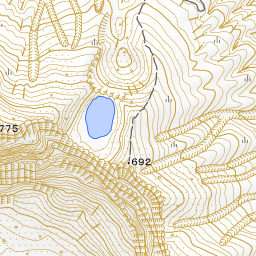
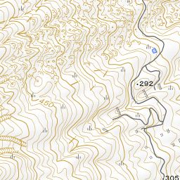
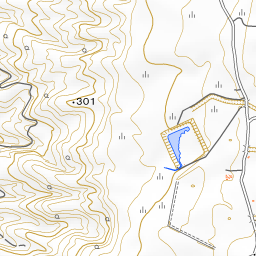
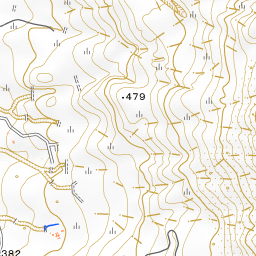
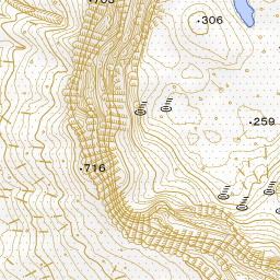
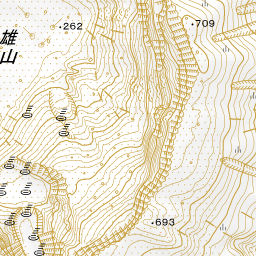


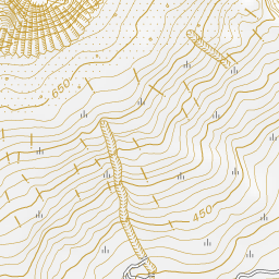
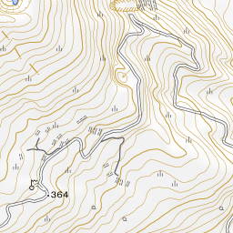
Spot location © OpenStreetMap contributors (ODbL)
Open in Google MapsGuides that include this spot (1)
Use asobot while you walk
- See where you are on the map and find spots nearby
- Listen to the guide's audio in course order, one after another (with subtitles)
- Walk to the next spot while following the map
Open on your phone
Scan to open this spot in asobot on your phone.