 ✨ AI Generated
Hashihaka Kofun Burial Mound
Japanese: 箸墓古墳
Sakurai, Nara
This information was written by AI and may contain mistakes. Please check official sources for opening hours, fees, and other details before you go.
Found a mistake? Let us know with “✏️ Something's wrong” on this spot's screen in asobot →
🎧 Audio guide(1:11)
In short
Hashihaka Kofun Burial Mound is a large keyhole-shaped burial mound located within the Makimuku Ruins. Most of the mound is designated by the Imperial Household Agency as Oichi-no-haka, the tomb of Yamatototohimomosohime-no-Mikoto. There is also a theory that it is the tomb of Queen Himiko of Yamatai.
- A giant burial mound from the early Kofun period: With a length of around 290 meters, it is thought to have been constructed between the mid and late 3rd century.
- The legend of the "Chopstick Tomb": The Nihon Shoki records a legend that people called this tomb the "Chopstick Tomb."
- Moat reservoir: A portion of the surrounding moat is Hashinaka Pond, which has been selected as one of Japan's Top 100 Reservoirs.
History and Highlights
Hashihaka Kofun Burial Mound is a keyhole-shaped burial mound located within the Makimuku Ruins in the southeastern part of the Nara Basin. The mound was built using a low ridge stretching from the east, with an elevation of around 75 meters, as its core. Most of the burial mound is designated by the Imperial Household Agency as Oichi-no-haka, the tomb of Yamatototohimomosohime-no-Mikoto, a daughter of Emperor Korei, the 7th emperor.
The length of the burial mound is around 290 meters, and the diameter of the circular rear portion is approximately 165 meters. Its period of construction is thought to be from the mid to late 3rd century. As an early Kofun-period burial mound of exceptional scale, it is considered important for understanding the process of the birth and development of the Yamato court. There is also a theory that it is the tomb of Queen Himiko of Yamatai.
In the chapter on Emperor Sujin in the Nihon Shoki, it is recorded that the tomb of Yamatototohimomosohime-no-Mikoto, who was the wife of Omononushi-no-Kami of Miwa, was built by people passing stones from Mt. Osakayama from hand to hand. The legend states that the people of that time called this tomb the "Chopstick Tomb."
The mound is terraced into four tiers on the front rectangular part and five tiers on the rear circular part, with covering stones (fukiishi) piled upon the surface. A moat with a width of about 10 meters surrounds the mound, and in 2017, the edge of the front part and a portion of the area presumed to be the moat were designated as a National Historic Site.
Highlights of Appreciation and Experience
- Size of the mound: A keyhole-shaped burial mound built on flat ground, measuring around 290 meters in length. The circular rear part alone has a diameter of about 165 meters.
- Hashinaka Pond: Part of the surrounding moat forms an irrigation reservoir called Hashinaka Pond, which is selected among Japan's Top 100 Reservoirs.
- Haniwa of the same style as Kibi: Special jar-shaped haniwa and special stand-shaped haniwa of the same style as those found in the Kibi region have been collected near the summit of the circular rear part.
Walking Tips
Because the Imperial Household Agency prohibits entry into imperial mausoleums, you cannot enter the burial mound itself. It must be viewed from the outside. It is about a 10-minute walk from JR Makimuku Station.
The Makimuku Ruins are approximately 790 meters to the north, Hibara-jinja Shrine is about 1.3 kilometers to the east, and Omiwa-jinja Shrine is roughly 1.5 kilometers to the southeast.
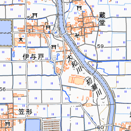
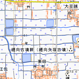
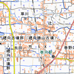
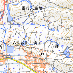
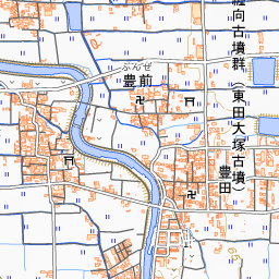
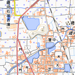

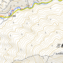
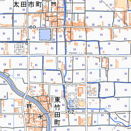
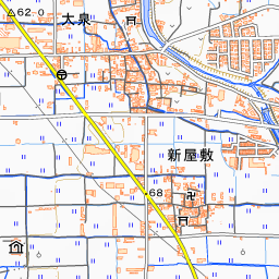
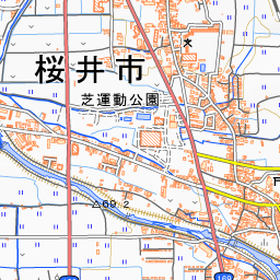
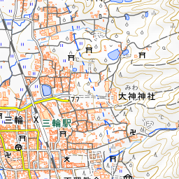
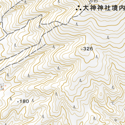
Spot location © OpenStreetMap contributors (ODbL)
Open in Google MapsGuides that include this spot (1)
Use asobot while you walk
- See where you are on the map and find spots nearby
- Listen to the guide's audio in course order, one after another (with subtitles)
- Walk to the next spot while following the map
Open on your phone
Scan to open this spot in asobot on your phone.