 ✨ AI Generated
Dorohatcho
Japanese: 瀞八丁
Totsukawa Village, Nara
This information was written by AI and may contain mistakes. Please check official sources for opening hours, fees, and other details before you go.
Found a mistake? Let us know with “✏️ Something's wrong” on this spot's screen in asobot →
🎧 Audio guide(1:04)
In short
Dorohatcho is a section known as Shimodoro within Dorokyo Gorge, a gorge formed by the Kitayama River along the borders of Nara, Mie, and Wakayama prefectures. It is designated as a national Special Place of Scenic Beauty and a Natural Monument. Between towering cliff walls that resemble folding screens, deep, clear pools spread out like mirrors. The character "doro" (瀞) refers to a deep, still pool in a river.
- Rock Walls and Deep Pools: Cliffs, giant rocks, and oddly shaped stone formations line both banks, with deep, calm waters filling the space between them.
- Touring by Riverboat: Riverboats departing from Tado in Totsukawa Village take visitors close to the bizarre rock formations, guided by the boatman's commentary.
- Doro Hotel: A former inn said to have originated as lodgings for raftsmen, it now operates as a cafe and diner overlooking Dorokyo Gorge.
History and Highlights
Dorohatcho is part of Dorokyo Gorge, a canyon created by the Kitayama River—a tributary of the Kumano River—along the borders of Nara, Mie, and Wakayama prefectures. Situated within Yoshino-Kumano National Park, Dorokyo Gorge is divided from upstream to downstream into Okudoro, Kamidoro, and Shimodoro. Among these, Shimodoro is known as "Dorohatcho" and has been designated as a national Special Place of Scenic Beauty and a Natural Monument.
The sheer cliffs on both shores rise like folding screens, while the clear water forms deep blue pools with mirror-like surfaces. The word "doro" signifies a deep, still river pool. It is said that the name "Dorohatcho" likely borrowed the phrasing of the Japanese idiom "kuchihatcho, tehatcho" (meaning versatile and adept) because the mountains, rocks, and waters are all remarkably beautiful.
For more than 600 years, the Kitayama River served as a route for raftsmen transporting timber downstream. Tourist numbers grew after propeller-driven boats began operating in 1920 (Taisho 9) and water jet boats were introduced in 1965 (Showa 40).
In the village settlement of Tado on the Totsukawa Village side stands Doro Hotel. Tado was once a relay stop for timber rafting, and Doro Hotel is said to have begun in 1917 (Taisho 6) as Azumaya, an inn for raftsmen. In the early Showa period, it became a tourist inn, changing its name to Doro Hotel. Although it closed in 2004 (Heisei 16), it resumed operations in 2013 (Heisei 25) as a cafe and diner. The main building has been designated as a cultural property of Nara Prefecture.
Viewing and Experience Points
- Among the Rock Walls by Riverboat: Kawasemi riverboat tours depart from Tado in Totsukawa Village. Guided by a locally born and raised boatman, these nimble boats bring visitors right up to giant and oddly shaped rocks. Look out for rocks such as Shishi-iwa, which resembles a roaring lion, and Kame-iwa (Turtle Rock). Advance reservations are required to board.
- Byobuiwa Rock and Caves: The gorge features colossal rocks like Byobuiwa Rock (20 meters high and 87 meters wide), alongside caverns such as Kansenkutsu Cave, which reaches 42 meters in depth. The wild cherry blossoms in spring, azaleas in early summer, and vibrant autumn foliage are also magnificent sights.
- Take a Break at Doro Hotel: Set upon a stone wall, this wooden structure allows guests to enjoy light meals or tea while looking out at Dorokyo Gorge. Stand-up paddleboards (SUP) are also available for rent, offering a way to experience the gorge from the water.
Travel Tips
When traveling by train, it is about a 45-minute drive by taxi or rental car from Shingu Station. By car from Gojo City, it takes approximately 2 hours and 45 minutes via National Routes 168, 425, and 169.
From Tamakiguchi on the Wakayama Prefecture side, the Dorokyo Gorge Tour Riverboat Cruise operated by the Kumanogawa-cho Fureai Public Corporation is also available by full advance reservation. The water jet boats that previously ran have been suspended since January 2021 (Reiwa 3).
When engaging in water activities, always wear a life jacket. Dorokyo Gorge reaches depths of approximately 25 meters and becomes dangerous when water levels rise due to heavy rains or dam discharges.
Tamaki-jinja Shrine is located approximately 5 kilometers to the west-northwest, and Totsukawa Onsen is approximately 11 kilometers to the west-northwest.

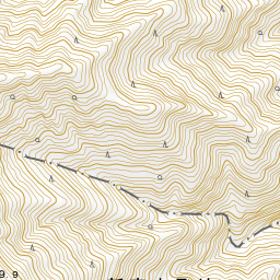
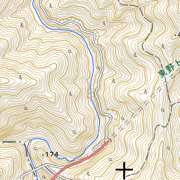
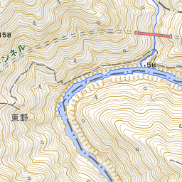
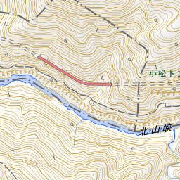
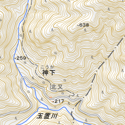
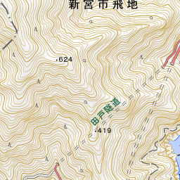
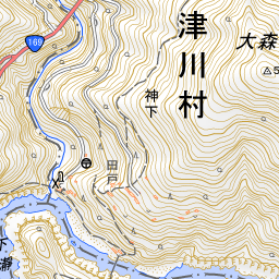
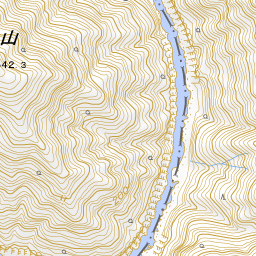
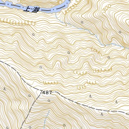
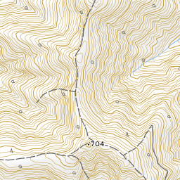
Spot location © OpenStreetMap contributors (ODbL)
Open in Google MapsGuides that include this spot (1)
Use asobot while you walk
- See where you are on the map and find spots nearby
- Listen to the guide's audio in course order, one after another (with subtitles)
- Walk to the next spot while following the map
Open on your phone
Scan to open this spot in asobot on your phone.