 ✨ AI Generated
Hamura Intake Weir
Japanese: 羽村取水堰
Hamura, Tokyo
This information was written by AI and may contain mistakes. Please check official sources for opening hours, fees, and other details before you go.
Found a mistake? Let us know with “✏️ Something's wrong” on this spot's screen in asobot →
🎧 Audio guide(0:59)
In short
Hamura Intake Weir is a weir that has drawn water from the Tama River into the Tamagawa Aqueduct since the Edo period. It continues to function as a water intake for Tokyo's water supply today. The mechanism of the "nagewatashi-zeki" (removable weir), in which a portion of the weir is removed during floods, has been passed down almost unchanged since long ago.
- Nagewatashi Weir and Fixed Weir: The nagewatashi weir sits on the left bank of the river, while a concrete fixed weir lines the right bank.
- Remains of the Raft Pass: The slope between the two weirs is the remains of the passage through which timber rafts once traveled.
- Spring Cherry Blossoms: Around 200 cherry trees line the Tamagawa Aqueduct, making it known as a popular spot for blossom viewing.
History and Highlights
Hamura Intake Weir is a weir on the Tama River in Hamura City, serving as the intake for the Tamagawa Aqueduct. The Tamagawa Aqueduct is a canal dug to supply water to the city of Edo, running approximately 43 kilometers from Hamura to the Yotsuya Okido Gate. The construction was undertaken by the brothers Tamagawa Shoemon and Seiemon by order of the shogunate; it is said to have begun in 1653 (Joo 2) and was completed the following year. The weir was established when the Tamagawa Aqueduct was excavated. It was initially made of wood, but was rebuilt in concrete in 1911 (Meiji 44).
The weir consists of the nagewatashi weir on the left bank and the fixed weir on the right bank. The nagewatashi weir is built by placing iron girders across pillars set in the river, laying logs called "nagi" horizontally across them, and arranging tree branches and gravel on top. During heavy floods, the supports are removed and the logs are allowed to wash down the river, preventing damage to the sluice gates and mitigating flooding. This mechanism of removing them during floods has continued largely unchanged since the digging of the Tamagawa Aqueduct.
The diverted water is sent to the Murayama Reservoir (Lake Tama) and the Yamaguchi Reservoir (Lake Sayama). The Tamagawa Aqueduct was designated a National Historic Site in 2003 (Heisei 15).
Viewing and Experience Highlights
- Look for the remains of the raft pass: The slope between the fixed weir and the nagewatashi weir is the site of the former "ikadatooshiba" (raft pass), used when timber felled in Okutama and Ome was assembled into rafts and transported to Edo. The structure that remains today was built in 1721 (Kyoho 6).
- View the sluice gates: Water impounded by the weir is drawn into the Tamagawa Aqueduct through the Daiichi (First) Sluice Gate. The water volume is then regulated at the Daini (Second) Sluice Gate, located 30 meters downstream.
- Seasonal scenery: In the Edo period, it was also referred to as the "Hagoromo Weir" due to its scenic beauty. Visitors can enjoy cherry blossoms in spring and autumn foliage in fall.
Walking Tips
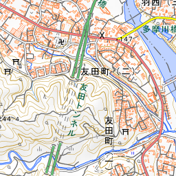
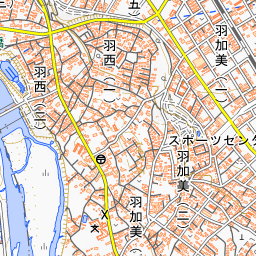
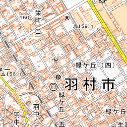
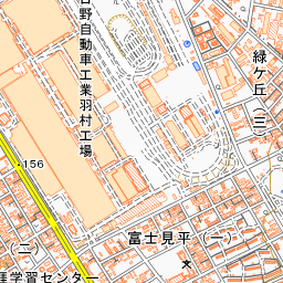
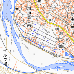
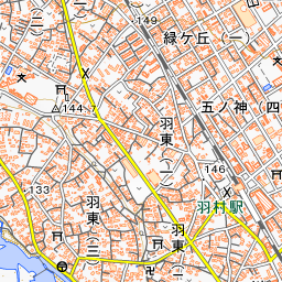
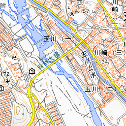
It is about a 10-minute walk from Hamura Station on the JR Ome Line. Near the weir, you can view, in turn, the nagewatashi weir and fixed weir, the remains of the raft pass between them, and the sluice gate that takes in water for the Tamagawa Aqueduct. To preserve the remains of the raft pass, the fish ladder was constructed on the right bank by the fixed weir. In spring, the approximately 200 cherry trees along the Tamagawa Aqueduct are a highlight. About 760 meters northwest of the weir lie the Negaramimae Paddy Fields, where tulips bloom in the spring.
Use asobot while you walk
- See where you are on the map and find spots nearby
- Listen to the guide's audio in course order, one after another (with subtitles)
- Walk to the next spot while following the map
Open on your phone
Scan to open this spot in asobot on your phone.