 ✨ AI Generated
Rainbow Bridge Promenade Shibaura Side
Japanese: レインボーブリッジ遊歩道 芝浦側
Minato City, Tokyo
This information was written by AI and may contain mistakes. Please check official sources for opening hours, fees, and other details before you go.
Found a mistake? Let us know with “✏️ Something's wrong” on this spot's screen in asobot →
🎧 Audio guide(0:58)
In short
Rainbow Bridge Promenade Shibaura Side is the Shibaura-side entrance and exit for the walkway across the Rainbow Bridge. Also known as the "Rainbow Promenade," the walkway extends 1.7 kilometers to the Daiba-side entrance and exit, taking about 20 to 30 minutes to cross on foot.
- North and South Routes: The north side offers views of Tokyo Tower and Tokyo Skytree, while the south side looks out over Odaiba Marine Park and Dairoku Daiba.
- Bridge Structure: The upper deck carries the Shuto Expressway Route 11 Daiba Line, while the lower deck accommodates the walkway, a port roadway, and the tracks of the Yurikamome transit system.
- Access by Elevator: On the Shibaura side, visitors take an elevator up to the walkway level.
History and Highlights
Rainbow Bridge Promenade Shibaura Side is the Shibaura-side entrance and exit for the walkway across the Rainbow Bridge. The walkway is also called the "Rainbow Promenade" and spans 1.7 kilometers to the Daiba-side entrance and exit.
The Rainbow Bridge opened on August 26, 1993, as a new symbol of the Port of Tokyo and as a bridge connecting the waterfront subcenter with the heart of Tokyo. It is a double-deck suspension bridge, with the upper deck carrying the Shuto Expressway Route 11 Daiba Line. The lower deck features the walkway, a port roadway, and the tracks for the Yurikamome transit system.
The entrance building is called the "Shibaura Anchorage." An anchorage is a massive concrete block that anchors the ends of the main cables supporting the bridge. From the Shibaura side to this anchorage, the expressway and Yurikamome curve in a circular formation known as the "Shibaura Loop Bridge."
There is a small anecdote regarding the height of the bridge. One of the construction challenges was making it high enough for large ships to pass underneath, yet low enough not to interfere with airplanes landing at Haneda Airport. The clearance from the sea to the bridge is over 50 meters.
Points for Viewing and Experiencing
- North Route: The walkway on the north side. To the west, Tokyo Tower can be seen between high-rise buildings, while Tokyo Skytree is visible to the east. The Takeshiba Pier and Sumida River estuary area, as well as Hinode Pier—the historical roots of the Port of Tokyo—are also on this side.
- South Route: The walkway on the south side. It overlooks the side facing Odaiba Marine Park and offers a view of Dairoku Daiba remaining out at sea. Harbor cranes line up like giant birds, and Mt. Fuji can sometimes be seen on clear days.
- Observation Balconies: The path is covered by a roof and enclosed along the sides by wire mesh. While photos can be taken with a smartphone through the mesh, the observation balconies located along the way provide an even clearer view. The central deck of the North Route also features an illustration showing the city's sights.
Tips for Exploring
It is a 5-minute walk from Shibaura-futo Station on the Yurikamome line. While the Daiba side requires walking up a long slope, the Shibaura side allows you to take an elevator directly up to the 7th-floor walkway, making it an easier starting point. Restrooms are available on the Shibaura side, but none are located on the Daiba side. Elevators for the north and south routes are separate, and the selected route continues all the way to the end. It is recommended to decide in advance which scenery you wish to view. Riding bicycles across is prohibited. Wheelchairs are permitted, but an assistant is required due to the steep slope. Besides scheduled closing days, access may be restricted due to weather and other conditions. Once you finish crossing, walk along the water toward Odaiba Marine Park.

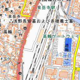
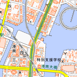
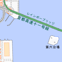
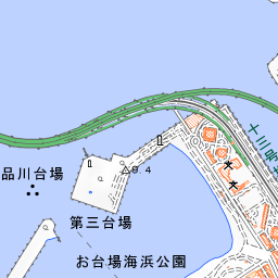
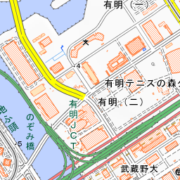
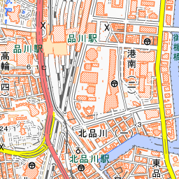

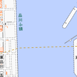
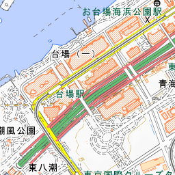
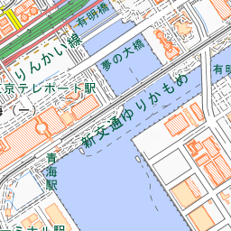
Spot location © OpenStreetMap contributors (ODbL)
Open in Google MapsGuides that include this spot (1)
Use asobot while you walk
- See where you are on the map and find spots nearby
- Listen to the guide's audio in course order, one after another (with subtitles)
- Walk to the next spot while following the map
Open on your phone
Scan to open this spot in asobot on your phone.