
Ura-sabaku Desert
Japanese: 裏砂漠
Oshima Town, Tokyo
This information was written by AI and may contain mistakes. Please check official sources for opening hours, fees, and other details before you go.
Found a mistake? Let us know with “✏️ Something's wrong” on this spot's screen in asobot →
🎧 Audio guide(1:00)
In short
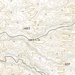
Ura-sabaku Desert is a black expanse covered with volcanic ash and scoria that stretches across the northeastern side of Mt. Mihara. Labeled as a "desert" on maps issued by the Geospatial Information Authority of Japan, its dark, desert-like landscape has been preserved over many years by the accumulation of ejecta from successive eruptions and persistent strong winds.
- Black earth and blue sea: Beyond the sprawling black landscape stretches the blue ocean, beneath an expansive sky.
- Footsteps on scoria: With every step, you can hear the crunchy "crunch-crunch" sound of walking on scoria.
- Returning greenery: About 40 years have passed since layers of scoria were deposited during the 1986 eruption, and vegetation is gradually recovering.
History and Highlights
Ura-sabaku Desert is an area covered with volcanic ash and scoria that extends across the northeastern slopes of Mt. Mihara. Scoria refers to dark volcanic rock resembling fine pumice. It is known as a place labeled as a "desert" on maps published by the Geospatial Information Authority of Japan.
Izu Oshima is an extremely windy area, with days of maximum daily wind speeds of 10 meters per second or more accounting for about one-third of the year. Because southwesterly winds blow frequently, volcanic ejecta fell and piled up thickly toward the northeast of the crater with each eruption. Even when the volcano is not erupting, the ground surface is constantly shifted by strong winds and rainwater. As a result, it is difficult for plant seeds and seedlings to take root, allowing this black desert landscape to be maintained over time.
In the past, the area was covered with finer sand-like ejecta. During the 1986 eruption, a layer of scoria measuring about 20 to 60 centimeters accumulated on the surface. About 40 years have passed since then, and vegetation is now slowly making a return.
On Izu Oshima, two camels and eleven donkeys were once brought in in 1931 for desert tours. In the northwestern part of the caldera, there was also a desert area called Omote-sabaku Desert, but most of it was buried under lava flows during the eruptions of 1950–1951, causing that landscape to be lost.
Tips for Viewing and Experiencing
- Unbroken expanse: A vast expanse of land free of man-made structures spreads out before you. In the distance is the blue sea, and above is an open sky. Looking toward Mt. Mihara, the caldera appears like a massive crater.
- Footsteps and the wind: Pause for a moment and listen carefully. The crunching sound of footsteps on the scoria blends with the sound of the wind and the calls of birds.
- Seasonal colors: In spring and summer, the contrast between green plants and black soil is striking, while autumn pairs golden pampas grass with the dark terrain. In winter, if you are lucky, snow may transform the scenery into a monochrome world of black and white.
Walking Tips
There are two main ways to visit. If walking, take the "Onsen Hotel Route," which begins near the parking lot of Oshima Onsen Hotel. It is a one-way hike of about 1 to 1.5 hours, during which the scenery shifts from forest to grassland, and finally to lava fields. If traveling by car, turn off the Oshima Round-Island Road at the small sign for the "Tsuki to Sabaku Line Entrance." Because the road is narrow, be mindful of oncoming traffic. From the dead-end parking lot, walk about 800 meters. The area is a Special Protection Zone within a national park, so vehicles cannot enter beyond this point. With no shelters or obstacles to block the elements, be prepared with protection against the cold and sunburn. Watch your footing on slopes to avoid slipping. Fog can also cause visitors to lose their way. Mt. Mihara is located about 2 kilometers to the west-southwest.


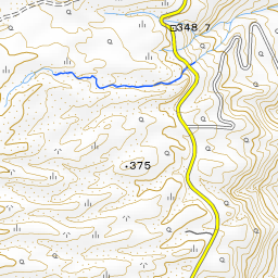


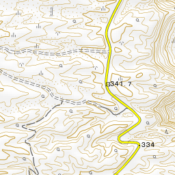
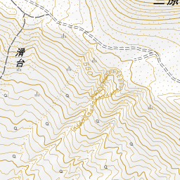

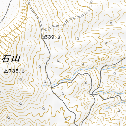
Spot location © OpenStreetMap contributors (ODbL)
Open in Google MapsGuides that include this spot (1)
Use asobot while you walk
- See where you are on the map and find spots nearby
- Listen to the guide's audio in course order, one after another (with subtitles)
- Walk to the next spot while following the map
Open on your phone
Scan to open this spot in asobot on your phone.