 ✨ AI Generated
Sandankyo Gorge
Japanese: 三段峡
Akiota Town, Hiroshima
This information was written by AI and may contain mistakes. Please check official sources for opening hours, fees, and other details before you go.
Found a mistake? Let us know with “✏️ Something's wrong” on this spot's screen in asobot →
🎧 Audio guide(1:06)
In short
Sandankyo Gorge is a 16-kilometer-long ravine along the Shiwaki River in the northwestern part of Akiota Town, and is part of Nishi-Chugoku Mountains Quasi-National Park. It has been designated as a Special Place of Scenic Beauty by the national government; only six gorges in Japan have received this designation, and Sandankyo Gorge is the only one in western Japan.
- Ferry Boats at Kurobuchi and Sarutobi: Two ferry boats operate in the gorge, offering views different from those seen from the walking trails
- Nidan Falls and Sandan Falls: Sandan Falls cascades down in three tiers into a blue-green pool. Nidan Falls can only be reached by taking a boat from Sarutobi
- Forest and Seasonal Views: Of the more than 1,800 varieties of moss found in Japan, roughly one-sixth can be observed along the trails, and the fresh green foliage in spring and the colorful leaves in autumn offer especially beautiful sights
History and Highlights
Sandankyo Gorge is a 16-kilometer-long ravine along the Shiwaki River in the northwestern part of Akiota Town. Extending into Kitahiroshima Town, it is part of Nishi-Chugoku Mountains Quasi-National Park. It has been designated as a Special Place of Scenic Beauty by the national government. There are only six gorges in Japan that have received this designation, and Sandankyo Gorge is the only one in western Japan.
In 1917, the photographer Kuma Nanpo began exploring the gorge, captivated by scenery reminiscent of Chinese landscape paintings. It was also Kuma who came up with the name "Sandankyo." With the help of local residents, Kuma helped popularize the gorge, leading to its designation as a Place of Scenic Beauty in 1925 and as a Special Place of Scenic Beauty in 1953. The walking trails planned by Kuma to minimize disturbance to nature are still in use today.
The gorge, carved deeply into the rock by the river, features numerous waterfalls, rapids, and deep pools, with Kurobuchi, Sarutobi, Nidan Falls, and Sandan Falls being particularly well known.
Viewing and Experience Highlights
- Exploring Kurobuchi and Sarutobi by Ferry Boat: Two ferry boats operate in the gorge at Kurobuchi and Sarutobi, offering views different from those seen from the walking trails. Kurobuchi is a large, calm pool enclosed by massive cliffs covered in primeval forest. At Sarutobi, boatmen steer their craft through a narrow waterway flanked by cliffs.
- Nidan Falls and Sandan Falls: Nidan Falls can only be reached by taking a boat from Sarutobi. It was originally a two-tiered waterfall, but torrential rain in 1988 caused the rock face of the first tier to collapse. Sandan Falls cascades down in three tiers into a blue-green pool.
- Forest and Seasonal Views: The gorge's plant life is a mixture of species from the warm regions of southwestern Japan and the cold regions of northeastern Japan. Of the more than 1,800 varieties of moss found in Japan, roughly one-sixth can be observed along the trails. The fresh green foliage in spring and the colorful leaves in autumn offer especially beautiful sights.
Walking Tips
The approximately 3-kilometer route from the southern main entrance (Shomenguchi) to Kurobuchi is the most popular trail, taking about 50 minutes one way. To reach Sandan Falls and Sarutobi further upstream, it is convenient to walk from Mizunashiguchi, taking about 30 minutes one way for the roughly 1.5 kilometers to Sandan Falls. There is no public transportation to Mizunashiguchi, so visitors must travel by car. For the main entrance, Hiroden buses run from the Hiroshima Bus Center, or it is about 15 minutes by car from the Togouchi Interchange on the Chugoku Expressway. Because sections may be closed due to falling rocks after heavy rain, please check accessible sections through the regional commerce organization Akiota before heading out. As bears may occasionally appear, please carry a bear bell while walking. Approximately 11 kilometers to the east lie the Ini Rice Terraces.
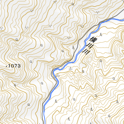
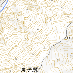
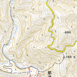
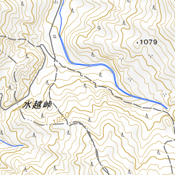
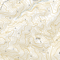
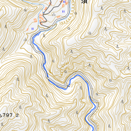
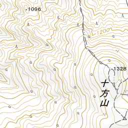
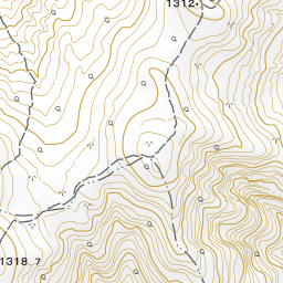
Spot location © OpenStreetMap contributors (ODbL)
Open in Google MapsGuides that include this spot (1)
Use asobot while you walk
- See where you are on the map and find spots nearby
- Listen to the guide's audio in course order, one after another (with subtitles)
- Walk to the next spot while following the map
Open on your phone
Scan to open this spot in asobot on your phone.