 ✨ AI Generated
Sakura Deai-kan
Japanese: さくらであい館
Yawata, Kyoto
This information was written by AI and may contain mistakes. Please check official sources for opening hours, fees, and other details before you go.
Found a mistake? Let us know with “✏️ Something's wrong” on this spot's screen in asobot →
🎧 Audio guide(1:03)
In short
A facility opened in March 2017 as a hub for interaction, regional revitalization, and sightseeing in the area where three rivers meet: the Uji, Kizu, and Katsura Rivers. It is located in the Sewaritei Embankment area of Yodogawa Riverside Park, a national government park, and anyone can enter freely.
- Observation Tower "Sansen Sora no Mado": From a height of about 25 meters above the ground, you can look out over a 360-degree view. In spring, it becomes a viewpoint for admiring the row of cherry trees along Sewaritei Embankment, which stretches for about 1.4 kilometers
- Information corner: Brochures for the surrounding cities and towns are available, and artwork created in the region is also on display
- Rest stop for cyclists: Bicycle rentals are available, as well as cycling maps showing the one-way route of about 19.6 kilometers from Gokobashi Bridge to Arashiyama
History and Highlights
Sakura Deai-kan is a facility that opened in March 2017 (Heisei 29) as a hub for interaction, regional revitalization, and sightseeing in the area where the three rivers—the Uji River, Kizu River, and Katsura River—meet. Located in the Sewaritei Embankment area of the national government park, Yodogawa Riverside Park, it aims to be a vibrant place where people, goods, and information come together.
Around the facility, points of interest related to the Confluence of the Three Rivers are dotted about: Mt. Otokoyama to the south, where Iwashimizu Hachimangu Shrine is enshrined; Mt. Tennozan to the northwest, which was the stage for a battle that decided the fate of the nation; and Sewaritei Embankment, a famous cherry blossom spot. In the facility's information corner, brochures for surrounding cities and towns are available, and artwork created in the region is also on display. Restrooms and a nursing room are provided, and anyone can enter freely.
Viewing and Experience Highlights
- Observation Tower "Sansen Sora no Mado": This observation tower is a symbol of the facility, offering a 360-degree view from a height of approximately 25 meters above the ground. In spring, it becomes a viewpoint for admiring the row of cherry trees along Sewaritei Embankment that stretches for about 1.4 kilometers. The tower features directional markings for north, south, east, and west, introductions to the surroundings, and history panels, and its direct elevator has space to accommodate wheelchairs.
- Event Plaza and Study Rooms: The event plaza "Yodo" can be used as a rest space, and events organized by the management of Yodogawa Riverside Park are also held there. The study rooms "Kizu" and "Uji" are available for private hire for group study sessions and other purposes.
- Rest Stop for Cyclists: The facility serves as a rest stop for many cyclists. Bicycle rentals are available, as well as cycling maps showing the one-way route of approximately 19.6 kilometers from Gokobashi Bridge to Arashiyama.
Tips for Exploring
It is about a 10-minute walk from Iwashimizu-hachimangu Station on the Keihan Main Line. After grasping the layout of the three rivers and the mountains from the observation tower, it is recommended to take a walk along the cherry blossom trees of Yodogawa Riverside Park Sewaritei or head to Iwashimizu Hachimangu Shrine on Mt. Otokoyama.
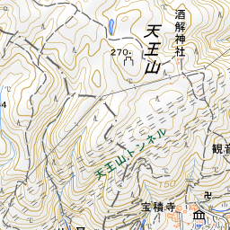
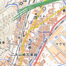
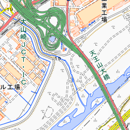
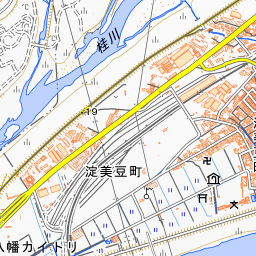
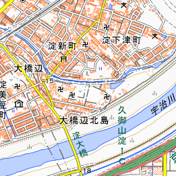
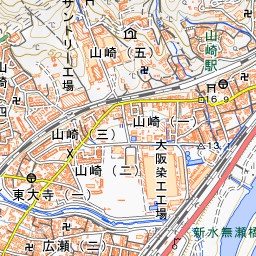
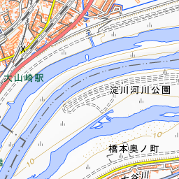
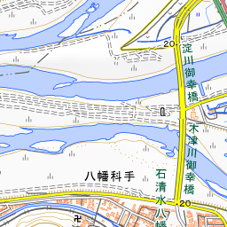
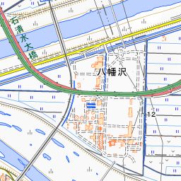
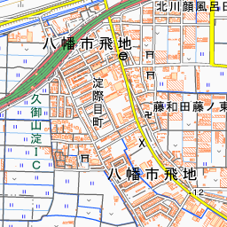
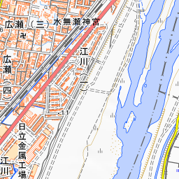
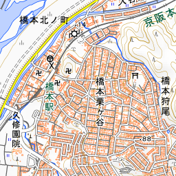
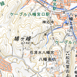
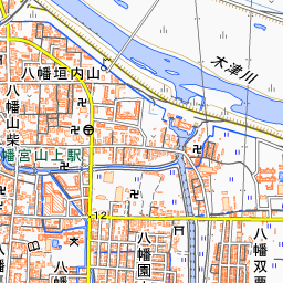
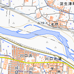
Spot location © OpenStreetMap contributors (ODbL)
Open in Google MapsUse asobot while you walk
- See where you are on the map and find spots nearby
- Listen to the guide's audio in course order, one after another (with subtitles)
- Walk to the next spot while following the map
Open on your phone
Scan to open this spot in asobot on your phone.