 ✨ AI Generated
Mt. Unebi
Japanese: 畝傍山
Kashihara, Nara
This information was written by AI and may contain mistakes. Please check official sources for opening hours, fees, and other details before you go.
Found a mistake? Let us know with “✏️ Something's wrong” on this spot's screen in asobot →
🎧 Audio guide(1:08)
In short
Mt. Unebi is one of the peaks known alongside Mt. Miminashi and Mt. Amanokagu as the Yamato Sanzan Mountains, and is a nationally designated Place of Scenic Beauty. With an elevation of 199.2 meters, it is the tallest of the three mountains. Since ancient times, it has been treasured as a mountain where deities descend from heaven, and it is also featured in poems in the Manyoshu. At the foot of the mountain lie the imperial mausoleums of early emperors, ranging from the first emperor, Emperor Jinmu, to the fourth emperor, Emperor Itoku.
- The mountain behind Kashihara-jingu Shrine: A trailhead is located along the northern approach (Kita-sando) of Kashihara-jingu Shrine, allowing you to hike to the summit in about 30 minutes.
- A poem of love rivalry among the three mountains: A poem by Prince Naka no Oe remains, depicting Mt. Miminashi and Mt. Amanokagu fighting over Mt. Unebi.
- Originally a volcano: It is an extinct volcano belonging to the Setouchi volcanic belt.
History and Highlights
Mt. Unebi is one of the Yamato Sanzan Mountains rising in the Asuka region in the southern part of the Nara Basin. The three mountains are arranged with Mt. Amanokagu to the east, Mt. Miminashi to the north, and Mt. Unebi to the west, and are designated as a national Place of Scenic Beauty. Mt. Unebi has an elevation of 199.2 meters, making it the highest among the three. Like Mt. Miminashi, it was originally a volcano. It is an extinct volcano belonging to the Setouchi volcanic belt.
The Yamato Sanzan Mountains have long been revered as sacred peaks where deities descended from heaven. The Manyoshu contains a poem by Prince Naka no Oe that likens the three mountains to a romantic love triangle. In the poem, Mt. Miminashi and Mt. Amanokagu vie for the affections of Mt. Unebi. Kashihara City describes this poem as portraying Mt. Unebi in the image of a beautiful woman.
Mt. Unebi also appears in the Nihon Shoki. It is recorded that upon the death of Emperor Ingyo, an envoy from Silla praised the forms of Mt. Unebi and Mt. Miminashi with the words "uneme haya, mimi haya."
At the foot of the mountain are the mausoleums of the first emperor, Emperor Jinmu, through the fourth emperor, Emperor Itoku. The mountain's base is covered with Japanese cypress (hinoki), while the middle to upper slopes consist of mixed deciduous and broadleaf evergreen forests, presenting a beautiful mountain backdrop for Kashihara-jingu Shrine.
Viewing and Experience Points
- Path to the Summit: A trailhead for Mt. Unebi is located along the northern approach of Kashihara-jingu Shrine. It takes about 30 minutes to reach the summit. All three mountains are gentle, and even Mt. Unebi, which has the greatest elevation gain, rises only about 130 meters. The trail is well-maintained and easy to climb even for beginners.
- View from Kashihara-jingu Shrine: Ascending the stone steps of the Minami-shinmon (South Divine Gate) at Kashihara-jingu Shrine reveals Mt. Unebi rising behind the Gehaiden (Outer Worship Hall). This spot offers a view encompassing both the mountain and the shrine pavilion.
- Gazing at the Three Mountains: Mt. Unebi is located to the west of Fujiwara-kyo. Poems in the Manyoshu suggest that the Fujiwara Palace was established on a site guarded by the Yamato Sanzan Mountains. From the Fujiwara Palace Site, the view of the three mountains still unfolds today. Take time to compare its shape with those of Mt. Miminashi and Mt. Amanokagu.
Walking Tips
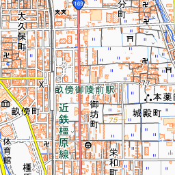
It is about an 8-minute walk from Kintetsu Unebigoryomae Station. Since it is also about a 10-minute walk from Kashihara-jingu Shrine, it is recommended to combine the climb with a visit to the shrine. Hike up to the summit from the northern approach trailhead, and after returning, look up at the mountain's silhouette from in front of the Gehaiden. The mountain forest is a national forest designated as the Yamato Sanzan Landscape Forest.
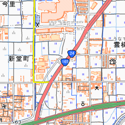
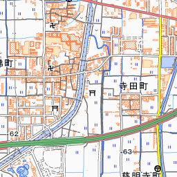
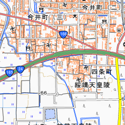
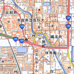
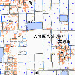
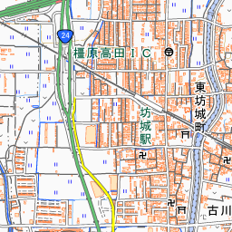
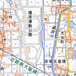
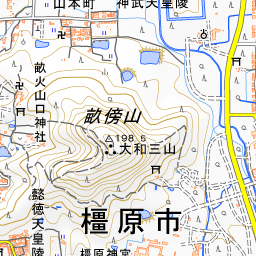

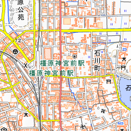
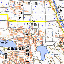
Spot location © OpenStreetMap contributors (ODbL)
Open in Google MapsUse asobot while you walk
- See where you are on the map and find spots nearby
- Listen to the guide's audio in course order, one after another (with subtitles)
- Walk to the next spot while following the map
Open on your phone
Scan to open this spot in asobot on your phone.