 ✨ AI Generated
Onbashi Natural Bridge
Japanese: 雄橋
Shobara, Hiroshima
This information was written by AI and may contain mistakes. Please check official sources for opening hours, fees, and other details before you go.
Found a mistake? Let us know with “✏️ Something's wrong” on this spot's screen in asobot →
🎧 Audio guide(1:06)
In short
Onbashi Natural Bridge is a natural stone bridge in Kami-Taishaku, in the upper reaches of Taishakukyo Gorge, a national Place of Scenic Beauty, and it is designated as a national Natural Monument. It was formed as the flow of the Taishaku River, over many years, eroded through the lower part of the limestone bedrock. With a length of approximately 90 meters and a height of about 40 meters from the riverbed, it is one of Japan's representative limestone natural bridges.
- Looking Up at the Stone Bridge from Below: Looking up from the riverside walking trail, you will be struck by the thickness of the rock blocking the sky above and the vast open space beneath it
- A Road Called the "Bridge of the Gods": Legends say that either gods or demons built it, and it has long been called the "bridge of the gods." The top of the bridge was once used as a road, and horses and palanquins also crossed it
- Seasonal Impressions: Fresh greenery from spring to early summer and colorful foliage in autumn adorn the gray limestone bridge
History and Highlights
Onbashi Natural Bridge is a natural stone arch located in Kami-Taishaku, in the upper reaches of the nationally designated Place of Scenic Beauty, Taishakukyo Gorge. It is designated as a national Natural Monument. Over many years, the flow of the Taishaku River eroded the lower part of a massive limestone bedrock until it finally broke through, forming a bridge spanning the river. With a length of approximately 90 meters, a height of about 40 meters from the riverbed, and a thickness of roughly 24 meters, it is one of Japan's representative limestone natural bridges.
Due to its immense and mysterious appearance, legends say that either gods or demons built this bridge, and it has long been called the "bridge of the gods." In a gazetteer compiled by the Hiroshima Domain during the Edo period, it is recorded under the name "Ko-no-hashi." The top of the bridge was once used as a road connecting Tojo with the Saijo and Shobara areas; many people passed through, and horses and palanquins also crossed. Stone Buddha statues remaining on the bridge and old maps indicate that it was used as a road for daily life since ancient times.
Viewing and Experience Points
- Looking Up at the Stone Bridge from Below: Looking up from the riverside walking trail, you will be struck by the thickness of the rock blocking the sky above and the vast open space beneath it. Imagine the past, when people and horses walked across the top of this bridge.
- Observing the Shape Carved by the River: How did the water hollow out the bedrock beneath? Comparing the Taishaku River flowing at your feet with the limestone rock surface gives you a sense of the process by which this natural bridge was created.
- Seasonal Impressions: Fresh greenery from spring to early summer and colorful foliage in autumn adorn the gray limestone bridge. Visiting in different seasons reveals completely different aspects of the same bridge.
Walking Tips
Because cars cannot get close to Onbashi Natural Bridge, it takes about 25 minutes one way on foot along the streamside trail from the Kami-Taishaku parking lot. The trail is mostly flat and passes by the limestone cave Hakuundo Cave and in front of Oni-no-Karamon Gate along the way. Information on Hakuundo Cave is provided in the "Hakuundo Cave" entry, and the entire gorge—including Dangyokei Gorge located beyond Onbashi Natural Bridge—is introduced under "Taishakukyo Gorge." Please wear comfortable walking shoes.
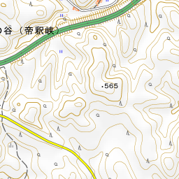

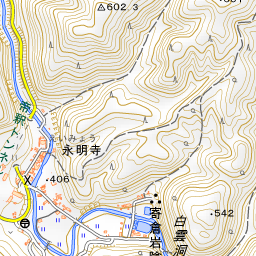
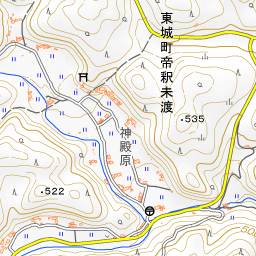
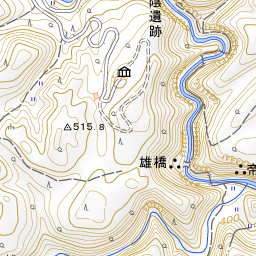
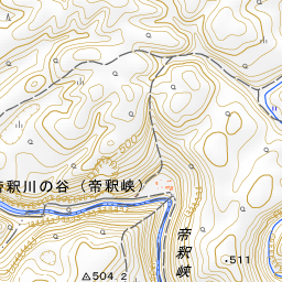
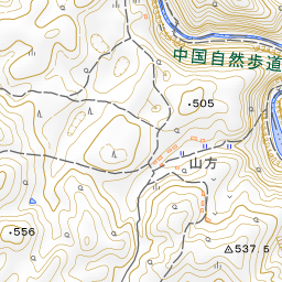
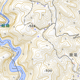
Spot location © OpenStreetMap contributors (ODbL)
Open in Google MapsGuides that include this spot (1)
Use asobot while you walk
- See where you are on the map and find spots nearby
- Listen to the guide's audio in course order, one after another (with subtitles)
- Walk to the next spot while following the map
Open on your phone
Scan to open this spot in asobot on your phone.