
Mt. Oyama
Japanese: 雄山
Miyake Village, Tokyo
This information was written by AI and may contain mistakes. Please check official sources for opening hours, fees, and other details before you go.
Found a mistake? Let us know with “✏️ Something's wrong” on this spot's screen in asobot →
🎧 Audio guide(1:04)
In short
Mt. Oyama is a volcano rising in the center of Miyakejima Island, reaching an elevation of 775 m at its highest point following eruptions. During the 2000 eruption, a caldera approximately 1.6 km in diameter and roughly 500 m deep formed at the summit, leading to the evacuation of all island residents outside the island. Even today, there are zones centered around the summit where entry is restricted.
- The 2000 Caldera: A precious caldera whose formation is said to have been witnessed for the first time in the world.
- Traces of Flank Eruptions: Remnants of fissure eruptions from the mountain slopes remain scattered across the island.
- Views from the Mid-Slopes: On clear days, the Shichito Observation Deck offers panoramic views of the Izu Islands.
History and Highlights
Mt. Oyama is a volcano rising in the center of Miyakejima Island. Its elevation was 814 m before the eruption, and its highest point after the eruption is 775 m. At the center of the summit is a caldera approximately 3.5 km across, inside of which lies the caldera about 1.6 km in diameter formed by the 2000 eruption.
Approximately 2,500 years ago, the largest eruption in the past 10,000 years in terms of ejecta volume occurred, creating a caldera in the center of the island. After that, eruptions that filled the depression continued until the late 12th century, shaping Mt. Oyama into its present form. Over the past 500 years, 13 eruptions have taken place at intervals ranging from 17 to 69 years.
The 2000 eruption took place at the summit. On July 8, the summit area suddenly collapsed, and an explosion occurred. As underground magma shifted toward Kozushima Island, a cavity formed, causing the summit to cave in. The collapse continued until early August, revealing a caldera 1.6 km across. On August 18, the largest eruption occurred, and an all-island evacuation order was issued on September 2. At one point, over 50,000 tons of volcanic gas were emitted per day, and the evacuation lasted for a long time. The evacuation order was lifted on February 1, 2005. In May of that same year, the acceptance of tourists resumed.
This caldera is about 500 m deep and is roughly the same size as Toshima Island in the Izu Islands. It is an academically valuable caldera whose formation process is said to have been witnessed for the first time in the world.
Viewing and Experience Highlights
- View the Islands from the Slopes: From the Shichito Observation Deck located on the slopes of Mt. Oyama, you can look out across the Izu Islands on clear days, from Izu Oshima in the north to Hachijojima in the south. This area is also near where the first vent opened during the 1983 eruption.
- Compare Volcanic Landforms: In addition to its summit, Mt. Oyama has frequently erupted from fissures along its mountain slopes. Small mountains formed on the slopes, such as Mt. Sanshichi, which was created by the 1962 eruption, also contribute to the island's landscape.
- Observe Withered Trees: Standing dead trees impacted by volcanic activity can be seen on the mountain. As the emission volume of volcanic gas decreases year by year, the environment for daily life and tourism on the island is gradually returning.
Travel Tips
On Mt. Oyama, there are still areas where entry is restricted by Miyake Village ordinance, centered on the summit. Visitors are now able to enter the summit area accompanied by Tokyo Metropolitan nature guides. The Miyakejima Tourist Association runs experiential tours that take participants up to 100 m before the crater, where local island guides provide information along with stories about life on the island and the eruptions. Depending on conditions, tours may turn back midway, and seeing the caldera cannot be guaranteed. Traces of the 1983 eruption can be seen along the Volcano Experience Trail, and the crater lake, Tairo Pond, can be visited in the south of the island.


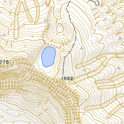
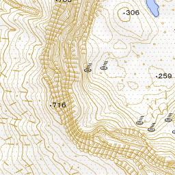
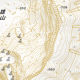

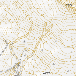
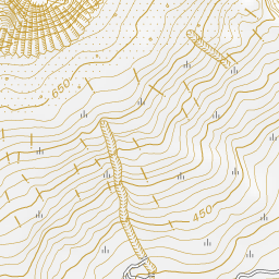
Spot location © OpenStreetMap contributors (ODbL)
Open in Google MapsGuides that include this spot (1)
Use asobot while you walk
- See where you are on the map and find spots nearby
- Listen to the guide's audio in course order, one after another (with subtitles)
- Walk to the next spot while following the map
Open on your phone
Scan to open this spot in asobot on your phone.