 ✨ AI Generated
Mt. Ponpon
Japanese: ポンポン山
Takatsuki, Osaka
This information was written by AI and may contain mistakes. Please check official sources for opening hours, fees, and other details before you go.
Found a mistake? Let us know with “✏️ Something's wrong” on this spot's screen in asobot →
🎧 Audio guide(1:09)
In short
Mt. Ponpon is a 678.7-meter-high mountain in northern Takatsuki City, on the border with Nishikyo Ward, Kyoto City, and the highest mountain in Takatsuki City. A popular folk theory about the origin of its name is that stomping one's feet on the summit makes a "pon-pon" sound. The surrounding area is designated as part of the Osaka Prefectural Hokusetsu Nature Park, and the Tokai Nature Trail passes through the summit.
- Views from the Summit: The summit is spacious, offering panoramic views stretching far into the distance, including the cityscape of Takatsuki
- Tengu Sugi: On the way from Honzan-ji Temple toward the summit, there is Tengu Sugi, a cedar that branches out from a single root and appears as two cedars standing close together, and a moss-covered small shrine (hokora) stands there
- The Mountain Stream of Kawakubo: The Kawakubo valley south of the mountain contains the forest at the headwaters of the Minase River, selected as one of the "100 Selected Water Source Forests"
History and Highlights
Mt. Ponpon is a 678.7-meter-high mountain located in northern Takatsuki City, on the border with Nishikyo Ward, Kyoto City. It is the highest mountain in Takatsuki City, with its summit forming the prefectural border between Osaka and Kyoto Prefectures, and its second-class triangulation point is on the Kyoto City side. During the Edo period, it is said to have been called Mt. Kamose.
A popular folk theory about the origin of its unique name is that stomping one's feet on the summit makes a "pon-pon" sound. A local sign also states that it is commonly called Mt. Ponpon because footfalls echo with a "pon-pon" sound as one nears the summit.
The Tokai Nature Trail passes through the summit, and the surrounding area is also included in the Osaka Loop Nature Trail course. The area around Mt. Ponpon is designated as part of the Osaka Prefectural Hokusetsu Nature Park. The Ministry of the Environment has selected the area around Mt. Ponpon, Honzan-ji Temple, and Mt. Shakadake as an "Important Satochi-Satoyama," where the nature of satoyama with extensive secondary forests remains.
Viewing and Experience Points
- Views from the Summit: The summit is spacious, offering panoramic views stretching far into the distance, including the cityscape of Takatsuki. Take a break here while looking back at the path you have climbed.
- Tengu Sugi: On the way from Honzan-ji Temple toward the summit, there is a cedar tree known as Tengu Sugi, which branches out from a single root and appears as two cedars standing close together, next to which stands a moss-covered small shrine (hokora).
- The Mountain Stream of Kawakubo: The Kawakubo valley south of the mountain contains the forest at the headwaters of the Minase River, selected as one of the "100 Selected Water Source Forests." The mountain stream turns into waterfalls in various spots, and you can walk along the path beside the river.
Hiking Tips
The Takatsuki City public relations magazine introduces three basic routes. The route starting from the municipal bus stop Kabusanguchi and climbing past Kabusan-ji Temple and Honzan-ji Temple is approximately 8.1 kilometers long and takes about 3 hours and 55 minutes; the route following the valley from the Kawakubo bus stop is approximately 5.1 kilometers long and takes about 2 hours and 25 minutes; and the route from the Izuriha bus stop is approximately 3.5 kilometers long and takes about 1 hour and 31 minutes. Following the trail signs is said to make it easy even for beginners to avoid getting lost. Because mountain weather is prone to sudden changes, be sure to bring rainwear, a hat, and plenty of water. There have also been sightings of bears and wild boars. As forest roads and approach paths can occasionally be closed due to landslides or fallen trees, please check for the latest information before heading out.
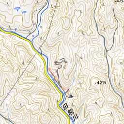
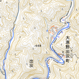


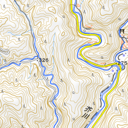
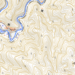


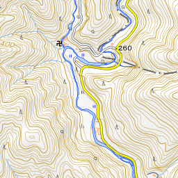
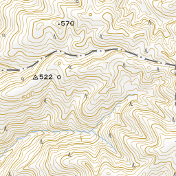
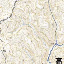
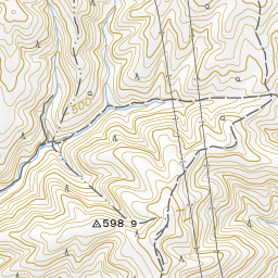
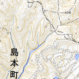
Spot location © OpenStreetMap contributors (ODbL)
Open in Google MapsUse asobot while you walk
- See where you are on the map and find spots nearby
- Listen to the guide's audio in course order, one after another (with subtitles)
- Walk to the next spot while following the map
Open on your phone
Scan to open this spot in asobot on your phone.