 ✨ AI Generated
Umami Hills Park
Japanese: 馬見丘陵公園
Koryo Town, Nara
This information was written by AI and may contain mistakes. Please check official sources for opening hours, fees, and other details before you go.
Found a mistake? Let us know with “✏️ Something's wrong” on this spot's screen in asobot →
🎧 Audio guide(1:04)
In short
Umami Hills Park is a prefectural park spanning Koryo Town and Kawai Town. Located in an area that retains a well-preserved natural environment and one of Japan's prominent burial mound clusters, it covers a total area of 56.2 hectares. Burial mounds are dotted around the ponds in the Central Area, where colorful flowers bloom in each season.
- Nagareyama Kofun: A keyhole-shaped burial mound with half restored to its original state at the time of construction; visitors can climb to the top.
- Park Pavilion (Koenkan): Located in the Central Area, where visitors can learn about the nature and burial mounds of the Umami Hills through models and videos.
- Seasonal Flowers: Cherry blossoms and tulips in spring, roses, Japanese irises, and sunflowers in summer, and dahlias and cosmos in autumn.
History and Highlights
Umami Hills Park is a prefectural park spanning both towns of Koryo and Kawai. The Umami Hills are low-lying hills with an elevation of about 70 meters, extending about 3 kilometers from east to west and about 7 kilometers from north to south. The hills coincide with the area of the Umami Kofun Group, forming a dense concentration of burial mounds.
In the early 1970s, large-scale residential development began in the western part of the hills. The park is located in the eastern part of the hills, and to protect nature and the burial mound cluster from development, plans were approved in 1984 to designate it as an urban park. In 1991, 10 hectares including the Park Pavilion opened, and the park opened fully in 2012. The total area is 56.2 hectares.
The park is long and narrow from north to south, divided into four areas: the Greenway, North, Central, and South. In the central area, which is the main hub, burial mounds are scattered around Kami-ike (Upper Pond) and Shimo-ike (Lower Pond). Cherry blossoms and tulips bloom in spring, roses, Japanese irises, and sunflowers bloom in summer, and dahlias and cosmos bloom in autumn, with events featuring flowers, food, and music held in each season.
Viewing and Experience Points
- Nagareyama Kofun: A 105-meter-long keyhole-shaped burial mound oriented with its front portion facing south, built in the early 5th century. The eastern half recreates its appearance from about 1,600 years ago by restoring rows of haniwa (clay figures) and fukiishi (paving stones), while the western half is maintained in its current earth-covered state. Although part of it was damaged by earth and sand excavation, it was preserved as a National Historic Site as a result of a conservation movement.
- Summit of the Round Mound: Visitors can climb to the top of Nagareyama Kofun. The top of the round rear section is the highest point in the park, offering a panoramic view of the Nara Basin.
- Otomeyama Kofun: Located on the north side of the Central Area, this is one of Japan's largest scallop-shell-shaped keyhole burial mounds. As it is currently covered in trees, try comparing it with the restored Nagareyama Kofun.
Walking Tips
By train, it takes about 2 minutes on foot from Ikebe Station on the Kintetsu Tawaramoto Line to the North Entrance of the Greenway. From Goido Station on the Kintetsu Osaka Line, you can take Nara Kotsu Bus Route 43 to "Umami Hills Park." The bus stop is located inside the park's central parking lot.
It takes a full day to thoroughly explore all the areas. If you are viewing the burial mounds, it is recommended to first learn about the nature and burial mounds of the Umami Hills with models and videos at the Park Pavilion in the Central Area. After that, climb Nagareyama Kofun to look out over the Nara Basin.
The North Area features large playground equipment, a wading pond, and a large lawn area. From the South Area, you can view the Suyama Kofun Burial Mound, which lies outside the park boundaries. For detailed information on the Suyama Kofun Burial Mound, please refer to the guide for Suyama Kofun Burial Mound.
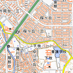
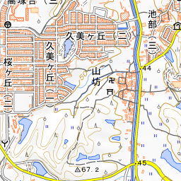
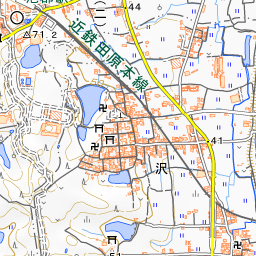
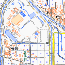
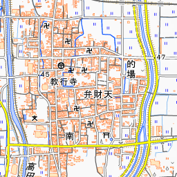
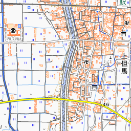
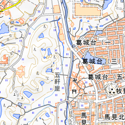
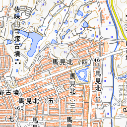
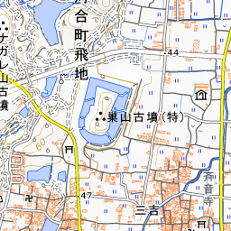
Spot location © OpenStreetMap contributors (ODbL)
Open in Google MapsGuides that include this spot (1)
Use asobot while you walk
- See where you are on the map and find spots nearby
- Listen to the guide's audio in course order, one after another (with subtitles)
- Walk to the next spot while following the map
Open on your phone
Scan to open this spot in asobot on your phone.