
Tateiwa Rock
Japanese: 立岩
Kyotango, Kyoto
This information was written by AI and may contain mistakes. Please check official sources for opening hours, fees, and other details before you go.
Found a mistake? Let us know with “✏️ Something's wrong” on this spot's screen in asobot →
🎧 Audio guide(1:09)
In short
A colossal monolith approximately 20 meters high, towering over the river mouth where the Takeno River empties into the Sea of Japan in Taiza, Tango-cho, Kyotango City. It is known as a scenic spot representing Kyotango within the San'in Kaigan Geopark.
- Rock Surface with Columnar Jointing: The andesite rock surface is marked with vertically and regularly arranged, pillar-like fissures. These formed when magma that had pushed its way underground cooled, solidified, and contracted in volume
- The Demon-Slaying Legend: It is said that in Prince Maroko's demon-slaying, the demon Tsuchikuma, captured alive in Takano, was sealed inside this rock, and that on nights with strong winds and high waves, the demon's weeping can be heard
- Tateiwa-Nochigahama Beach: The beach that stretches out before Tateiwa Rock is bustling as a swimming beach in summer, while in winter it offers views of the snow-dusted Tateiwa Rock against the rough waves of the Sea of Japan
History and Highlights
Tateiwa Rock is a colossal monolith approximately 20 meters high, towering over the river mouth where the Takeno River empties into the Sea of Japan in Taiza, Tango-cho, Kyotango City. It is widely known as a prominent scenic spot representing Kyotango within the San'in Kaigan Geopark.
Tateiwa Rock is formed of a volcanic rock called andesite, and its surface is marked with vertically and regularly arranged, pillar-like fissures. Known as "columnar jointing," these formed as underground magma cooled, solidified, and contracted in volume. Tateiwa Rock was originally an isolated island floating in the sea, but sediment carried by the Takeno River accumulated to form a sandbar, connecting it to the mainland. The contrast between the dark rock surface and the white sandy beach creates a beautiful landscape.
A legend of demon-slaying is handed down at Tateiwa Rock. Long ago, three demons named Eiko, Karuashi, and Tsuchikuma lived on Mt. Oe and tormented the local people. Prince Maroko, a son of Emperor Yomei and a paternal half-brother of Prince Shotoku, set out to defeat the demons and tracked them down with the guidance of a white dog. Eiko and Karuashi were slain, and it is said that Tsuchikuma, who was captured alive in Takano, was sealed inside this rock.
Viewing and Experience Points
- Rock Surface with Columnar Jointing: When you approach the rock, you can clearly see the pillar-like cracks running vertically. The straight, rugged rock surface lets you experience the formation of the earth up close.
- The Legend of the Demon's Weeping: It is said that on nights with strong winds and high waves, the weeping of the demon trapped inside the rock can be heard. Looking out over the rough winter sea, take a moment to reflect on this legend.
- Takeno River Shifting with the Seasons: According to information from the San'in Kaigan Geopark, the flow at the mouth of the Takeno River changes direction due to the movement of sand caused by sea currents and seasonal winds. It is said to often flow eastward from autumn to winter, and westward from spring to summer.
Tips for Exploring
The Tateiwa-Nochigahama Beach, which stretches out before Tateiwa Rock, is bustling with visitors as a swimming beach in summer, while in winter it offers scenic views of the snow-dusted Tateiwa Rock against the rough waves of the Sea of Japan. The wooden "Tenki-Tenki Bridge" spanning the Takeno River is also a popular spot for taking photos with Tateiwa Rock in the background. After crossing the bridge, a walking path leads to the Taisei Tumulus Group.
Very close by, inside the "Roadside Station Tenki Tenki Tango," is the Kyotango City Information Center of the San'in Kaigan Geopark. Heading east, you will find Byobuiwa Rock and the Tango Matsushima Observation Point, allowing you to enjoy the coastal scenery of Tango-cho together.



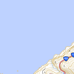
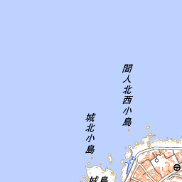
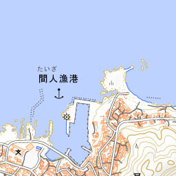
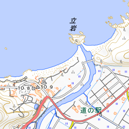
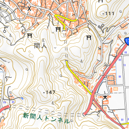
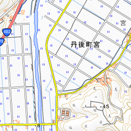
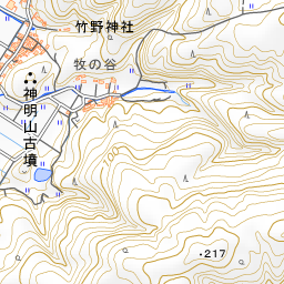
Spot location © OpenStreetMap contributors (ODbL)
Open in Google MapsGuides that include this spot (1)
Use asobot while you walk
- See where you are on the map and find spots nearby
- Listen to the guide's audio in course order, one after another (with subtitles)
- Walk to the next spot while following the map
Open on your phone
Scan to open this spot in asobot on your phone.