
Akappage
Japanese: 赤禿
Oshima Town, Tokyo
This information was written by AI and may contain mistakes. Please check official sources for opening hours, fees, and other details before you go.
Found a mistake? Let us know with “✏️ Something's wrong” on this spot's screen in asobot →
🎧 Audio guide(0:57)
In short
Akappage is an elevated cape projecting from the northwestern coast of Izu Oshima. It is a scoria cone formed approximately 3,400 years ago when erupted magma rapidly fell and accumulated around a crater, allowing visitors to see the rust-red scoria that oxidized while still at high temperatures up close.
- Bright Red Cutting: Where the Sunset Palm Line pedestrian path cuts through the hill, you can observe the bright red scoria inside it up close.
- Three Black Bands: On the northern cross-section eroded by the sea, dark bands form parallel arches.
- Sunset Hill: Also introduced as "Sunset Hill," this location offers sweeping views of the sea, volcanic lava topography, and Mt. Mihara.
History & Highlights
In the northwestern part of Izu Oshima, flat terrain reclaimed by lava flows from fissure eruptions spreads out, connecting gently to the coastline. Within this landscape, Akappage stands out as an exceptional, slightly elevated cape.
Akappage is a landform known as a scoria cone that formed about 3,400 years ago. Magma erupted vigorously and accumulated rapidly around the crater. Because the ejected scoria was exposed to sufficient air while still extremely hot, it oxidized and turned a rust-red color.
The small holes visible in the scoria are traces of gas dissolved in the magma that bubbled and escaped.
The northern side of the hill has been eroded by the sea, exposing its interior. The dense, dark bands visible within the red cross-section were formed when a large amount of accumulated scoria melted and fused together due to intense heat.
In the past, this scoria was quarried and shipped as building material. Remnants of the transport facilities can still be seen in the surrounding area today. Due to this quarrying and coastal erosion, the original shape of the scoria cone can no longer be discerned.
Viewing & Experience Points
- Red of the Cutting: Where the Sunset Palm Line pedestrian path cuts through the hill, you can observe the bright red scoria up close. Approach the cross-section to look for the tiny gas pores as well.
- Northern Arches: Walk down the northern slope and look back at the hill. Within the red cross-section, three dark bands draw parallel arches.
- View from the Hill: From the Sunset Palm Line, Mt. Fuji is visible on days with favorable weather conditions, along with views of the Izu Peninsula and the islands of the Izu archipelago. From Akappage, also introduced as Sunset Hill, you can see the ocean, lava topography, passing ships, and Mt. Mihara.
Touring Tips
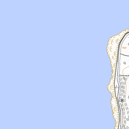
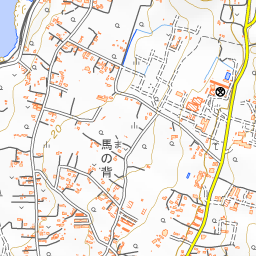
Akappage is located along the Sunset Palm Line, which stretches about 5 kilometers from near Motomachi Port to Nodahama at the northern tip. There is a pedestrian walkway separate from the roadway, making it enjoyable either on foot or by bicycle. A geopark model course runs from Motomachi Port on a rental bicycle, stopping at Nagane, passing Akappage and Buratto House, and continuing to Nodahama in about 1 hour. Viewing the cutting cross-section first and then circling around to the northern slope allows for an orderly visit. At the starting point of the Sunset Palm Line near Motomachi Port sits Motomachi Hama-no-Yu, about 2.3 kilometers south of Akappage.


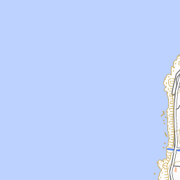




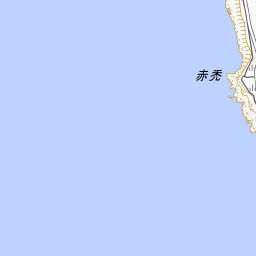
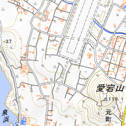
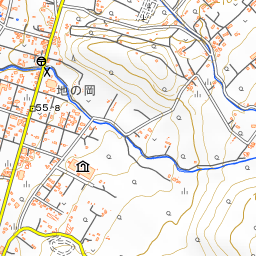


Spot location © OpenStreetMap contributors (ODbL)
Open in Google MapsUse asobot while you walk
- See where you are on the map and find spots nearby
- Listen to the guide's audio in course order, one after another (with subtitles)
- Walk to the next spot while following the map
Open on your phone
Scan to open this spot in asobot on your phone.