 ✨ AI Generated
Hachikokuyama Ryokuchi Park
Japanese: 八国山緑地
Higashimurayama, Tokyo
This information was written by AI and may contain mistakes. Please check official sources for opening hours, fees, and other details before you go.
Found a mistake? Let us know with “✏️ Something's wrong” on this spot's screen in asobot →
🎧 Audio guide(1:02)
In short
Hachikokuyama Ryokuchi Park is a Tokyo metropolitan green space located at the eastern end of the Sayama Hills, opened in 1990. Visitors can stroll along an easy-to-walk ridge trail through a mixed forest of konara oak and sawtooth oak. Its name is said to derive from the fact that mountains across eight provinces could once be seen from here, and it is also said to be an inspiration for the animated film "My Neighbor Totoro." It is about a 5-minute walk from the nearest station, Seibuen Station.
- Ridge Trail: A nearly flat and easy-to-walk trail running east to west along the border between Tokyo and Saitama Prefecture.
- Shogunzuka Mound: A small mound along the ridge trail where Nitta Yoshisada is said to have planted his banner.
- Plaza and Ponds: Features an open grassy area on the southern slope, as well as two small reservoirs called Kami-ike and Shimo-ike.
History & Highlights
Hachikokuyama Ryokuchi Park, which opened in 1990, is a metropolitan green space at the eastern edge of the gently sloping Sayama Hills. Surrounded by residential areas, it is a precious surviving expanse of nature. A mixed forest of sawtooth oak, konara oak, and other trees spreads across the area, where various wild birds and insects can be observed. It is also said to have served as a model for the animated film "My Neighbor Totoro."
The elevation of Hachikokuyama is 89.4 meters. It is said to have gained its name because eight provinces—Kozuke, Shimotsuke, Hitachi, Awa, Sagami, Suruga, Shinano, and Kai—could be seen from its summit. It is pronounced "Hachikokuyama."
This area is said to be an ancient battlefield. The vicinity of Hachikokuyama became the setting for numerous conflicts, including Nitta Yoshisada's siege of Kamakura, the battle between Hojo Tokiyuki and Ashikaga Tadayoshi and others in 1335, and the Battle of Musashino in 1352. At the foot of the hill stands the Kumegawa Ancient Battlefield Monument.
The small mound remaining on the hill is the Shogunzuka Mound. According to Tokorozawa City, in Genko 3 (1333), Nitta Yoshisada, who had raised troops to overthrow the Kamakura shogunate, temporarily halted here and raised a banner on the mound, from which tradition says the name originated. Higashimurayama City introduces it as a place where Yoshisada is said to have observed the battle situation and directed his troops and horses.
Things to See & Do
- Walk the Ridge Trail: A nearly flat, comfortable path running east to west along the border between Tokyo and Saitama Prefecture. It passes through the shade of sawtooth and konara oak trees. The north side of the ridge belongs to Saitama Prefecture.
- Visit the Shogunzuka Mound: A small mound located along the ridge trail, situated within the borders of Tokorozawa City. In front of the mound, you can reflect on the legend of the banner being raised here.
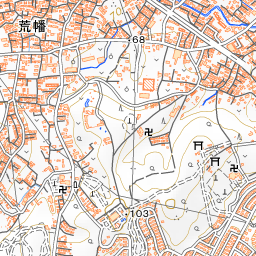
- Take a Break at the Plaza and Ponds: Korokoro Plaza is a grassy space on a gentle southern slope where you can see the trains of the Seibu-en Line. There are also restrooms nearby. Futatsu-ike consists of two small reservoirs, Kami-ike (upper pond) and Shimo-ike (lower pond), with wetlands nearby.
Travel Tips
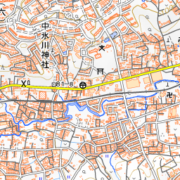
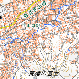
The closest station is Seibuen Station on the Seibu-en Line, located about a 5-minute walk from the park. The railway tracks run east to west, adjacent to the south side of the green space.
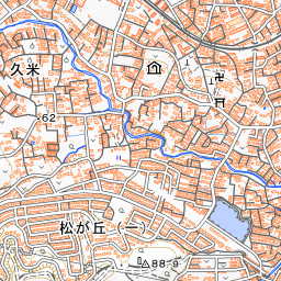
If you are visiting from Higashimurayama Station, walking courses suggested by Higashimurayama City serve as a good reference. From the West Exit of Higashimurayama Station, pass along the Kitayama Green Way to enter Hachikokuyama Ryokuchi Park, then proceed past Shogunzuka Mound and Futatsu-ike, toward Hachikokuyama Taiken-no-sato, Kitayama Park, and Shofuku-ji Temple. Kitayama Park is a municipal park to the south of the green space, where Japanese irises bloom in early summer. Visiting it alongside the National Treasure Jizo-do hall at Shofuku-ji Temple lets you enjoy both nature and history together.
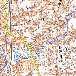
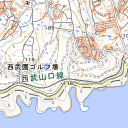
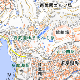
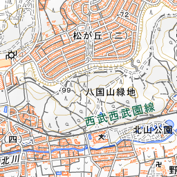
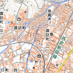
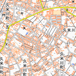
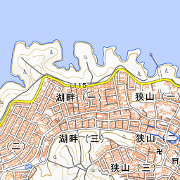
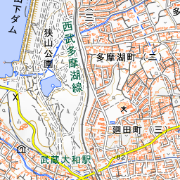
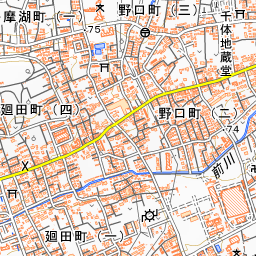
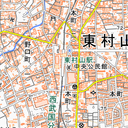
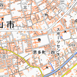
Spot location © OpenStreetMap contributors (ODbL)
Open in Google MapsGuides that include this spot (1)
Use asobot while you walk
- See where you are on the map and find spots nearby
- Listen to the guide's audio in course order, one after another (with subtitles)
- Walk to the next spot while following the map
Open on your phone
Scan to open this spot in asobot on your phone.