 ✨ AI Generated
Yoshikien Garden
Japanese: 吉城園
Nara City, Nara
This information was written by AI and may contain mistakes. Please check official sources for opening hours, fees, and other details before you go.
Found a mistake? Let us know with “✏️ Something's wrong” on this spot's screen in asobot →
🎧 Audio guide(1:06)
In short
Yoshikien Garden is a Japanese garden located near Todai-ji Temple and Nara Park. Spanning approximately 8,900 square meters, the grounds consist of three gardens—a pond garden, a moss garden, and a tea flower garden—along with a detached tea house, incorporating Mt. Kasuga and Mt. Wakakusa as borrowed scenery. It occupies the former site of Manishuin, a sub-temple of Kofuku-ji Temple, and took its current form in 1919 (Taisho 8). In autumn, visitors can see the combination of fallen autumn foliage and moss.
- Pond Garden: A garden that makes use of topographical variations with Horai Pond at its center. Mt. Kasuga and Mt. Wakakusa can be viewed beyond the artificial mound.
- Moss Garden: A flat garden covered with hair-cap moss, where a thatched-roof tea house stands.
- Tea Flower Garden: Located deeper beyond the moss garden, featuring blooming flowers and plants cultivated for tea ceremonies.
History and Highlights
Yoshikien Garden is a garden built on the site of Manishuin, a sub-temple of Kofuku-ji Temple. According to the "Kofuku-ji Ko-ezu" (Old Illustrated Map of Kofuku-ji Temple), it is considered to be the location where Manishuin stood prior to the Edo period. The front garden of the adjacent Isuien Garden, separated by the Yoshiki River, was also built on the former site of Manishuin.
The garden took its current form in 1919 (Taisho 8). It was opened to the public in the Heisei era. The site of approximately 8,900 square meters consists of three gardens—the pond garden, moss garden, and tea flower garden—and a detached tea house. It incorporates Mt. Kasuga and Mt. Wakakusa as borrowed scenery. Three buildings within the grounds are designated as tangible cultural properties of Nara Prefecture as the "Former Shohoin-ke Residence."
The three gardens each have a distinct atmosphere: a garden centered around a pond, a garden carpeted with hair-cap moss, and a garden planted with simple seasonal flowers used to decorate tea gatherings. As you stroll, you can enjoy the pond, moss garden, tea house, and seasonal greenery one after another.
Highlights & Experience Points
- Pond Garden and Borrowed Scenery: Featuring Horai Pond at its center, the pond garden is a chisen-kaiyushiki (pond-strolling) garden that makes use of the terrain's elevation differences. Beyond the gentle artificial mound, you can look out toward Mt. Kasuga and Mt. Wakakusa. This garden spreads out in front of the main buildings.
- Moss Garden and Tea House: In the moss garden on the east side of the grounds, a flat area carpeted with hair-cap moss opens up. A detached tea house with a thatched roof stands here. In autumn, you can view the scene of fallen autumn leaves scattered over the moss.
- Tea Flower Garden: Continuing further past the moss garden, the tea flower garden appears. Flowering plants cultivated for tea gatherings bloom here, adding color to the garden.
Walking Tips
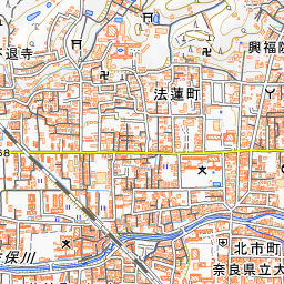
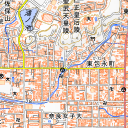
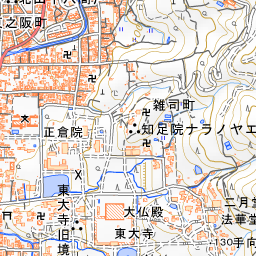
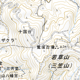
It is about a 10-minute walk from Kintetsu-Nara Station, or about a 3-minute walk from the "Kencho-higashi" bus stop on the Nara City Loop Bus. Upon entering, first admire Mt. Kasuga and Mt. Wakakusa beyond the mound in the pond garden, then proceed to the moss garden to the east and the tea flower garden in the back to take in all three gardens in sequence. In autumn, compare the fallen red leaves and the moss in the moss garden. Isuien Garden is right next door, about 80 meters to the northeast, and Nara National Museum is about 250 meters to the southeast.
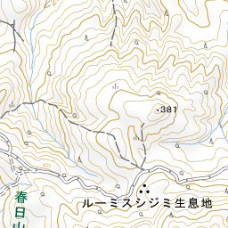

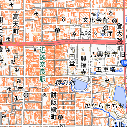
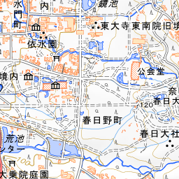
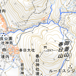
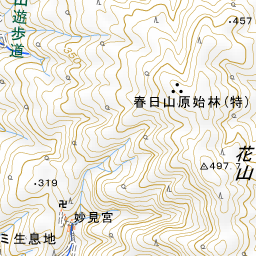
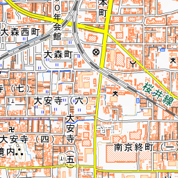
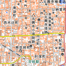
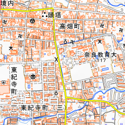
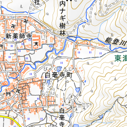
Spot location © OpenStreetMap contributors (ODbL)
Open in Google MapsGuides that include this spot (1)
Use asobot while you walk
- See where you are on the map and find spots nearby
- Listen to the guide's audio in course order, one after another (with subtitles)
- Walk to the next spot while following the map
Open on your phone
Scan to open this spot in asobot on your phone.