 ✨ AI Generated
Kominato Coast
Japanese: 小港海岸
Ogasawara Village, Tokyo
This information was written by AI and may contain mistakes. Please check official sources for opening hours, fees, and other details before you go.
Found a mistake? Let us know with “✏️ Something's wrong” on this spot's screen in asobot →
🎧 Audio guide(0:58)
In short
Kominato Coast is a beach on Chichijima Island said to be the premier swimming spot in the Ogasawara Islands. As the longest beach on the island, it features an expanse of shallow waters and a calm bay. It serves as the starting point for walking trails leading to Nakayama Pass and John Beach, and is also known as a beautiful spot for stargazing at night.
- Shallow White Sand Beach: Emerging through the windbreak forest, a pure white sandy beach opens up. With virtually no rocks, you can go into the water barefoot, making this beach well-suited for swimming.
- Pillow Lava on Both Flanks: On the rocky cliffs to the left and right of the coast, you can see impressive pillow lava up close.
- A Sky Full of Stars: With no artificial lights nearby, the night sky appears exceptionally beautiful.
History & Highlights
Kominato Coast is a beach on Chichijima Island. Said to be the top swimming beach in the Ogasawara Islands, it is the longest beach on the island. It lies beyond a tunnel-like green path leading from the end of the vehicular road. Walking past the windbreak forest of tamana (Alexandrian laurel) and hamagiri, pure white sand spreads out before you.
In front of the beach lies an inlet with shallow waters and gentle waves. The shallow beach stretches for 300 meters, and you can go into the water barefoot. Because there are hardly any rocks, it is well suited for swimming. On the other hand, the seabed is sandy, so fish are not abundant.
Pillow lava can be seen on the cliffs to the left and right of the coast. Pillow lava is rock formed when magma released during ancient submarine volcanic activity cooled and solidified. Visitors can view this impressive formation up close right from the beach.
There are no artificial lights nearby. Because of this, the starry sky is visible in all its beauty, making this beach, along with neighboring Kopepe Coast, well known as a stargazing destination.
Tips for Viewing & Experiencing
- Swimming in Shallow Waters: With shallow waters and gentle waves, you can enjoy a leisurely swim. For safety, always swim with two or more people.
- Pillow Lava on the Cliffs: Walk near the cliffs on either side of the beach to observe the pillow lava. These rocks were formed through ancient submarine volcanic activity.
- Night Sky: At night, you can gaze at a sky full of stars on a beach free from artificial lighting.
Walking Tips
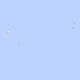
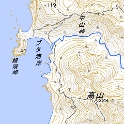
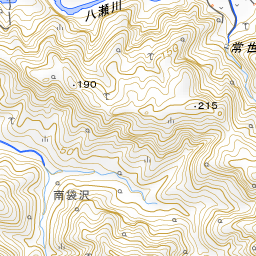
It takes about 16 minutes by car from the Commerce, Industry and Tourism Hall (B-Ship), where the tourist association is located. By bus, it is about a 2-minute walk after getting off at Kominato Coast. Kominato Coast is the starting point for trails leading to Nakayama Pass and John Beach. Crossing the Yatsuse River from Kominato and following the trail leads up to Nakayama Pass. From Nakayama Pass, Kominato Coast and Kopepe Coast can be seen directly below, with Futami Bay visible in the distance. A trail also connects to the neighboring Kopepe Coast, but it features continuous steep ascents and descents, making it a fairly demanding path relative to its distance. From Kominato Coast, it is about 1.8 km south-southwest to John Beach, about 2.1 km south-southeast to Heart Rock, and about 3.7 km north to Omura Coast.





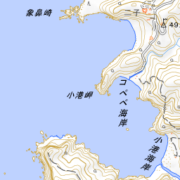
Spot location © OpenStreetMap contributors (ODbL)
Open in Google MapsUse asobot while you walk
- See where you are on the map and find spots nearby
- Listen to the guide's audio in course order, one after another (with subtitles)
- Walk to the next spot while following the map
Open on your phone
Scan to open this spot in asobot on your phone.