 ✨ AI Generated
Keihanna Commemorative Park
Japanese: けいはんな記念公園
Kyoto 精華町
This information was written by AI and may contain mistakes. Please check official sources for opening hours, fees, and other details before you go.
Found a mistake? Let us know with “✏️ Something's wrong” on this spot's screen in asobot →
🎧 Audio guide(0:59)
In short
A park opened in April 1995 as a symbol of Kansai Science City. Its official name is Kyoto Prefectural Kansai Science City Commemorative Park. It was developed as a commemorative project for the 1,200th anniversary of the founding of Heian-kyo, and its theme is the Japanese rural landscape. The park is divided into a free area and a paid area with a Japanese garden and a satoyama forest.
- Suikei-en Garden and Kangetsukyo Bridge: A contemporary Japanese stroll garden that draws on Kyoto's traditional landscaping techniques. The view of the harvest moon from Kangetsukyo Bridge, 10 meters high and 123 meters long, is considered exceptional
- Mebuki no Mori: A satoyama woodland surrounding Nagatani Pond, where you can stroll while enjoying nature through the four seasons. One loop around it is about 1.2 kilometers
- Lawn Field and Valleys: The lawn field has play equipment and a brook where you can play in the water, and in spring about 300 cherry trees come into full bloom. The valley area represents a quiet satoyama with a stream, a bamboo grove, and a plum grove
History and Highlights
Keihanna Commemorative Park is located within Kansai Science City, which spans the Keihanna Hills. Its official name is Kyoto Prefectural Kansai Science City Commemorative Park. Opened in April 1995 as a symbol of the science city, it covers an area of 24.1 hectares.
A major feature of its design is the incorporation of the science city's core philosophy of "harmony with nature," integrating part of the approximately 2.6-hectare Nagatani Pond and the surrounding forest. Conserving a 15.1-hectare satoyama (traditional rural landscape) environment, the park was developed as a commemorative project for the 1,200th anniversary of the founding of Heian-kyo (ancient Kyoto), expressing Japanese culture and climate. Under the theme of the Japanese rural landscape, the free area includes terraced-field-style open spaces and valleys with playground equipment and small streams, while the paid area features the Suikei-en Garden (a Japanese garden) and the Mebuki no Mori forest.
Viewing and Experience Highlights
- Suikei-en Garden and Kangetsukyo Bridge: Suikei-en Garden is a contemporary Japanese stroll garden that draws upon Kyoto's traditional landscaping techniques, where visitors can also enjoy autumn foliage such as maples. The view of the harvest moon from the 10-meter-high, 123-meter-long Kangetsukyo Bridge spanning the pond is considered exceptional. In the garden's "Gansho" (rock reef) area, giant boulders brought from Setouchi convey the raw breath of nature. The Kangetsuro building in the center of the garden houses a rest area, observation deck, and gallery.
- Mebuki no Mori: A satoyama woodland surrounding Nagatani Pond, where visitors can stroll while enjoying nature across the four seasons, such as azaleas in spring, sunlight filtering through the trees in summer, autumn leaves, and waterfowl in winter. A loop around the forest is approximately 1.2 kilometers.
- Lawn Field and Valleys: The lawn field in the free area is a large open space for free play, featuring children's play equipment and a brook where children can play in the water, and in spring about 300 cherry trees come into full bloom. The valley area represents a quiet satoyama nestled in a vale with a stream, a bamboo grove, and a plum grove, enveloped by the rustle of bamboo leaves and the sound of water.
Visitor Tips
The park can be reached by bus from JR Hosono Station, Kintetsu Shin-Hosono Station, or Kintetsu Gakken Nara-Tomigaoka Station. Please note that the bus stops for Suikei-en Garden and the lawn field are different. Since the park is large and divided into paid and free areas, it is recommended to wear comfortable walking shoes and decide on the spots you wish to see before exploring.
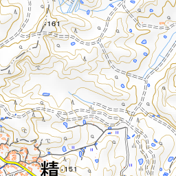
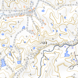
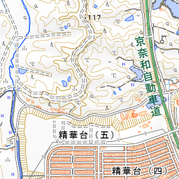

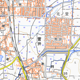
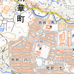
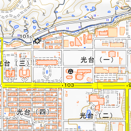
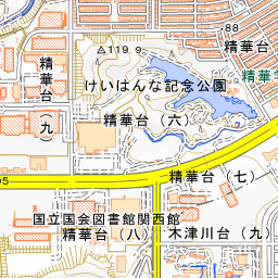
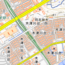
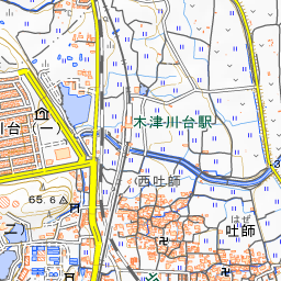
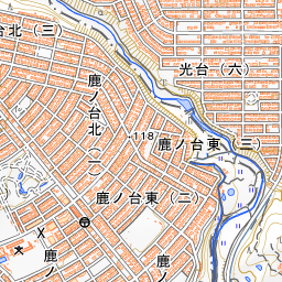

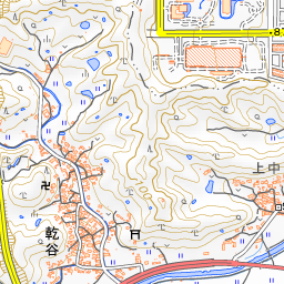
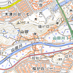
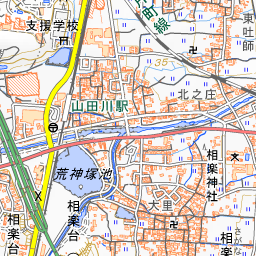
Spot location © OpenStreetMap contributors (ODbL)
Open in Google MapsUse asobot while you walk
- See where you are on the map and find spots nearby
- Listen to the guide's audio in course order, one after another (with subtitles)
- Walk to the next spot while following the map
Open on your phone
Scan to open this spot in asobot on your phone.