 ✨ AI Generated
Yodogawa Riverside Park Sewaritei
Japanese: 淀川河川公園 - 背割堤
Yawata, Kyoto
This information was written by AI and may contain mistakes. Please check official sources for opening hours, fees, and other details before you go.
Found a mistake? Let us know with “✏️ Something's wrong” on this spot's screen in asobot →
🎧 Audio guide(1:07)
In short
An embankment that separates the Uji River and the Kizu River, located at the Confluence of the Three Rivers where the Kizu River, Uji River, and Katsura River meet. It is officially known as the Sewaritei Area of the national government park, Yodogawa Riverside Park. Built in 1900 (Meiji 33) through diversion work on the Uji River, it took its current form in 1930 (Showa 5).
- Row of Cherry Trees Stretching About 1.4 Kilometers: Along the embankment, 220 Somei Yoshino cherry trees are planted over a stretch of about 1.4 kilometers, creating a cherry blossom tunnel in spring. The Sewaritei Cherry Blossom Festival is held every year from late March to early April
- From Pines to Cherry Trees: Pine trees were planted along the embankment until the late 1970s (early Showa 50s), and the site was called "Yamashiro no Hashidate." After damage from pine wilt, 220 cherry trees were planted in 1978 (Showa 53) to replace the dead pines, which marked the beginning of today's row of cherry trees
- Waterside Birds and the Mountains on the Opposite Banks: Reeds and Japanese silver grass grow densely along the riverbanks, where birds such as herons, kingfishers, and little grebes can be seen. On the opposite banks, views of Mt. Otokoyama and Mt. Tennozan unfold
History and Highlights
Yodogawa Riverside Park Sewaritei is an embankment that separates the Uji River and the Kizu River. Located at the Confluence of the Three Rivers where the Kizu River, Uji River, and Katsura River meet, it is officially known as the Sewaritei Area of the national government park, Yodogawa Riverside Park. It was constructed to allow the Uji River and Kizu River, which have different flows, to merge gently, and to prevent the effects of backwater during floods—when rising water levels at the confluence push back and swell the river waters upstream. Built in 1900 (Meiji 33) through diversion work on the Uji River, it took its current form in 1930 (Showa 5) following a series of subsequent renovation projects.
Pine trees were planted along the embankment until the late 1970s (early Showa 50s), and the site was called "Yamashiro no Hashidate" and widely known as a filming location for period dramas. In the early 1970s (late Showa 40s), pine wilt disease spreading across western Japan affected this embankment as well. In 1978 (Showa 53), the Yodogawa Work Office of the then-Ministry of Construction planted 220 cherry trees to replace the dead pines. This marked the beginning of today's row of cherry trees.
Viewing and Experiencing Highlights
- Row of Cherry Trees Stretching About 1.4 Kilometers: Along the embankment, 220 Somei Yoshino cherry trees are planted over a stretch of about 1.4 kilometers, creating a cherry blossom tunnel in spring. The Sewaritei Cherry Blossom Festival is held every year from late March to early April. In addition to cherry trees, 36 flowering dogwoods are also planted.
- Summer Tanabata Festival and Autumn Cherry Foliage: In addition to the flowering season, visitors can enjoy the natural scenery at the Confluence of the Three Rivers through the lunar-calendar Tanabata Festival in summer and the vibrant autumn colors of the cherry leaves.
- Waterside Birds and the Mountains on the Opposite Banks: The riverbeds around the embankment are a treasure trove of wild birds and plants. Reeds and Japanese silver grass grow densely along the riverbanks, where birds such as herons, kingfishers, and little grebes can be observed. On the opposite banks, views of Mt. Otokoyama and Mt. Tennozan unfold.
Visiting Tips
It is about a 10-minute walk from Iwashimizu-hachimangu Station on the Keihan Main Line. In the Sewaritei Area, there is the "Sakura Deai-kan" with an observation tower, where you can gaze down at the row of cherry trees from above. It is also recommended to tour the area together with Iwashimizu Hachimangu Shrine atop Mt. Otokoyama or Rikyu Hachimangu Shrine in Oyamazaki Town across the river.
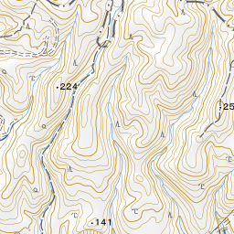
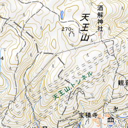
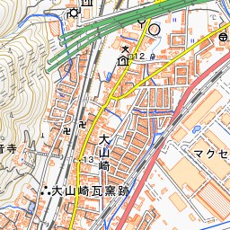
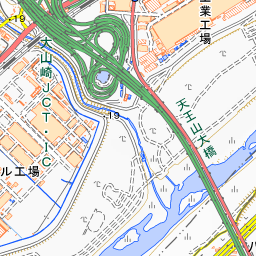
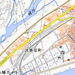
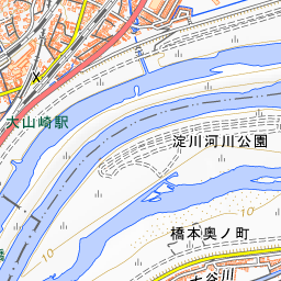
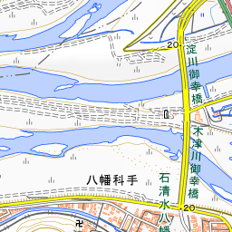
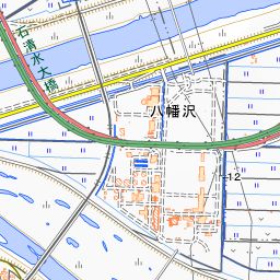
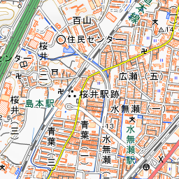
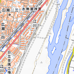
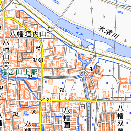
Spot location © OpenStreetMap contributors (ODbL)
Open in Google MapsGuides that include this spot (1)
Use asobot while you walk
- See where you are on the map and find spots nearby
- Listen to the guide's audio in course order, one after another (with subtitles)
- Walk to the next spot while following the map
Open on your phone
Scan to open this spot in asobot on your phone.