
Mt. Myojin
Japanese: 明神山
Oji Town, Nara
This information was written by AI and may contain mistakes. Please check official sources for opening hours, fees, and other details before you go.
Found a mistake? Let us know with “✏️ Something's wrong” on this spot's screen in asobot →
🎧 Audio guide(1:02)
In short
Mt. Myojin is a 273.6-meter-high mountain located in Oji Town. Although not high, its summit offers a 360-degree panorama ranging from the scenery of the ancient capital of Nara to the Osaka Plain and the Akashi Kaikyo Bridge. It is also designated as a constituent cultural property of the Japan Heritage "Katsuragi Shugen."
- 360-degree views: The town's guide introduces 39 locations visible from the summit, complete with explanations. To the west, you can see Abeno Harukas and, when the air is clear, the Akashi Kaikyo Bridge.
- Overlooking World Heritage Sites: Multiple World Heritage sites can be viewed, including the Buddhist Monuments in the Horyu-ji Area and the Mozu-Furuichi Kofun Group.
- Casual mountain walk: It takes about 30 to 40 minutes from the Mt. Myojin torii gate at the foot of the mountain to the summit.
History and Highlights
Mt. Myojin is a mountain with an elevation of 273.6 meters located in Oji Town. While not a high mountain, the summit serves as a viewpoint offering a 360-degree panorama. You can look out not only over the landscapes of the ancient capital of Nara, but also over the Osaka Plain and as far as the Akashi Kaikyo Bridge.
Town materials note that from the summit, one can overlook the Historic Monuments of Ancient Nara, the Buddhist Monuments in the Horyu-ji Area, the Historic Monuments of Ancient Kyoto, the Sacred Sites and Pilgrimage Routes in the Kii Mountain Range, and the Mozu-Furuichi Kofun Group World Heritage sites. In fiscal year 2020, it was recognized as a constituent cultural property of the Japan Heritage "Katsuragi Shugen." Town materials convey that simply by gazing at the view from this mountain, visitors can experience firsthand why tombs were built, a nation was born, and capitals were established in Nara.
On the official website of Oji Town, 39 locations visible from the summit are introduced along with explanations by professors from Nara University. To the southeast lie the gently sloping conical Mt. Miwa, as well as Mt. Miminashi and Mt. Unebi of the Yamato Sanzan Mountains. To the west, Osaka Bay lies about 30 kilometers away, and Awaji Island is about 60 kilometers away. To the north, Mt. Shigi and Mt. Ikoma stretch across the horizon. Confirm the cardinal directions at the summit and try looking for the names of the locations you can see.
Viewing and Experiencing Highlights
- Views toward Osaka: To the west, you can see Abeno Harukas, located about 17 kilometers away in a straight line. When the air is clear, you can see all the way to the Akashi Kaikyo Bridge about 60 kilometers away. The Akashi Kaikyo Bridge at dusk is also introduced in the town's materials.
- Views toward Nara: To the north, famous sites of the Nara Basin spread out, including Horyu-ji Temple and Todai-ji Temple. Horyu-ji Temple is approximately 7 kilometers away in a straight line. To the southeast, the Yamato Sanzan Mountains and Mt. Miwa come into view.
- Mt. Shigi and Mt. Nijo: Mt. Shigi to the north is a mountain consisting of two peaks, Mt. Odake and Mt. Medake, with Chogosonshi-ji Temple located on its southern mountainside. To the south, Mt. Nijo can be seen with its two summits, Mt. Odake and Mt. Medake. Both mountains are close by, located within a straight-line distance of about 4 to 6 kilometers.
Walking Tips
Take a bus for about 10 minutes from the South Exit of JR Oji Station, get off at "Myojin 4-chome," and it is about a 30- to 40-minute walk from the Mt. Myojin torii gate to the summit. The hiking trail to the summit is full of variety, and wild azaleas bloom in spring. At the summit, there are the Mt. Myojin Observation Deck and Mizujinja Shrine. In a Kintetsu hiking event, a course was arranged where participants descended Mt. Myojin, passed through Daruma-ji Temple, and returned to Oji Station. Daruma-ji Temple is located about 3.4 kilometers to the northeast, and Tatsuta-taisha Shrine is about 2.4 kilometers to the northeast.
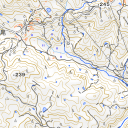
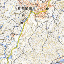
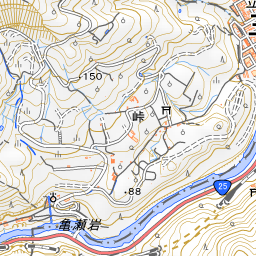
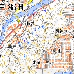
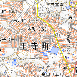
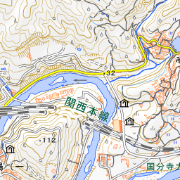
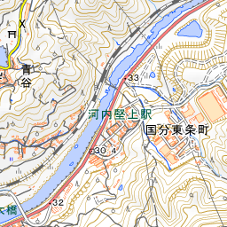
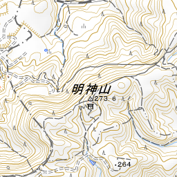
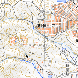
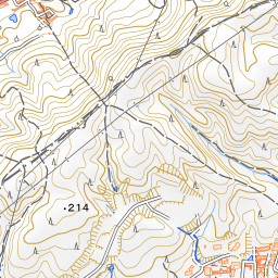
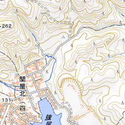
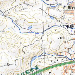
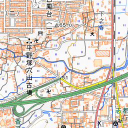
Spot location © OpenStreetMap contributors (ODbL)
Open in Google MapsUse asobot while you walk
- See where you are on the map and find spots nearby
- Listen to the guide's audio in course order, one after another (with subtitles)
- Walk to the next spot while following the map
Open on your phone
Scan to open this spot in asobot on your phone.