 ✨ AI Generated
Kabutoiwa Observation Deck
Japanese: かぶと岩展望台
Kure, Hiroshima
This information was written by AI and may contain mistakes. Please check official sources for opening hours, fees, and other details before you go.
Found a mistake? Let us know with “✏️ Something's wrong” on this spot's screen in asobot →
🎧 Audio guide(1:00)
In short
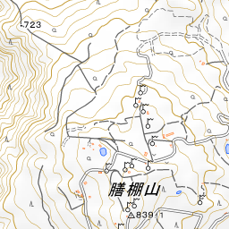
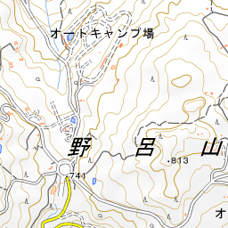
Kabutoiwa Observation Deck is located at the summit area of Mt. Noro in Kawajiri-cho, Kure City. Mt. Noro is a mountain 839 meters high that is part of Setonaikai National Park, and its summit is a gentle plateau at an elevation of approximately 800 meters.
- Islands and bridges of the Akinada Sea: Below, you can look out over Shimokamagarijima Island and Kamikamagarijima Island, connected by Akinada Bridge and Kamagari Bridge. On clear days, you may even be able to see the Shikoku Mountains across the sea
- Massive boulders of the Mt. Noro Sea of Rocks: The name of the observation deck is said to come from the nearby massive boulder "Kabutoiwa." Kabutoiwa is one of the massive boulders that make up the Mt. Noro Sea of Rocks, a natural monument of Kure City
- Hirado azaleas in spring: In spring, Hirado azaleas bloom all around the observation deck, and you can gaze upon the islands of the Seto Inland Sea beyond the flowers
History and Highlights
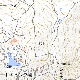
Kabutoiwa Observation Deck is an observation deck located at the summit area of Mt. Noro in Kawajiri-cho, Kure City. Mt. Noro stands at an elevation of 839 meters and is part of Setonaikai National Park. The mountaintop features a gentle plateau at an elevation of approximately 800 meters, equipped with observation decks, walking trails, a campsite, the Noro Kogen Lodge (a public lodge), and a visitor center. Kabutoiwa Observation Deck is the closest observation deck to this Noro Kogen Lodge.
The name of the observation deck is said to be derived from the nearby massive boulder known as "Kabutoiwa." On the slopes of Mt. Noro lies the Mt. Noro Sea of Rocks (Noro-san Gankai), where large boulders overlap as if filling the valley, designated as a natural monument of Kure City. It is a sea of rocks formed from volcanic rock called rhyolite, and Kabutoiwa is one of the massive boulders that make up this geological formation.
Viewing and Experiencing Highlights
- Islands and Bridges of the Akinada Sea: Below, you can look out over Shimokamagarijima Island and Kamikamagarijima Island, which are connected by Akinada Bridge and Kamagari Bridge. To the south, the islands of the Akinada Tobishima Kaido stretch out, and on clear days, you may even be able to see the Shikoku Mountains across the sea.
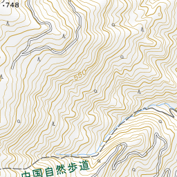
- Massive Boulders of the Mt. Noro Sea of Rocks: The sea of rocks spreads across the valley slopes between approximately 400 and 700 meters above sea level, closer to the base of the mountain. Giant boulders and uniquely shaped rocks, including Kabutoiwa, line the area, presenting a rugged rocky landscape distinctly different from the plateau at the summit.
- Hirado Azaleas in Spring: In spring, Hirado azaleas bloom all around the observation deck. It is a season where you can gaze upon the islands of the Seto Inland Sea beyond the flowers.
Tips for Exploring
A roadway leads up to the summit area, and the observation deck is about a 5-minute walk from the Mt. Noro Visitor Center. At the summit, you can also visit places such as the Hoshifuru Observation Deck and Kobo-ji Temple together in one trip. In summer, haze can obscure distant views on some days, so seasons with clearer air make it easier to see far-off islands. Because temperatures on the mountain are lower than at the base, bringing an extra layer of clothing to slip on provides peace of mind.

Guides that include this spot (1)
Use asobot while you walk
- See where you are on the map and find spots nearby
- Listen to the guide's audio in course order, one after another (with subtitles)
- Walk to the next spot while following the map
Open on your phone
Scan to open this spot in asobot on your phone.