 ✨ AI Generated
Kumihama Bay
Japanese: 久美浜湾
Kyotango, Kyoto
This information was written by AI and may contain mistakes. Please check official sources for opening hours, fees, and other details before you go.
Found a mistake? Let us know with “✏️ Something's wrong” on this spot's screen in asobot →
🎧 Audio guide(1:05)
In short
Kumihama Bay is a coastal lagoon with a circumference of approximately 28 kilometers, located in Kumihama-cho, Kyotango City. It is a brackish bay separated from the Sea of Japan by a sandbar called Shotenkyo, and it has the largest area among coastal lagoons in Kyoto Prefecture.
- Scenery of Oyster Racks: Oyster farming flourishes in the calm waters of the bay, and the view of the oyster racks has been selected as a Selected Cultural Landscape of Kyoto Prefecture under the name "Kumihama Bay Oyster Racks"
- Specialty Kumihama Oysters: Raised in a bay rich in plankton, they are a specialty of this region. They are cultivated by suspending seed oysters on ropes from racks constructed of bamboo and thinned timber
- Contrast Between Inside and Outside the Bay: The water surface inside the bay, sheltered by the sandbar, is calm, while on the outside of Shotenkyo, a long white sand beach stretches out, presenting completely different aspects inside and out
History and Highlights
Kumihama Bay is a coastal lagoon with a circumference of approximately 28 kilometers, located in Kumihama-cho, Kyotango City. A coastal lagoon is a lake-like body of water separated from the sea by a sandbar. Kumihama Bay is separated from the Sea of Japan by a sandbar called Shotenkyo, forming a brackish bay where seawater and river water mix. It has the largest area among coastal lagoons in Kyoto Prefecture.
During the ice age about 20,000 years ago, sea levels were more than 100 meters lower than today, and there was a deep valley around where the sandbar is now. Afterwards, sea levels rose, and sand carried by ocean currents accumulated to form a sandbar, which is said to have created the present form of Kumihama Bay.
The bay and the Sea of Japan are connected by a narrow channel at the western end of the sandbar. In the past, the entrance to the bay was frequently blocked by drifting sand, obstructing boat traffic; therefore, a new artificial channel was dug starting in 1913 (Taisho 2).
The town of Kumihama on the southern shore of the bay was a transportation hub where major roads intersected, and during the Edo period, a shogunate magistrate's office (daikansho) was established there. In the early Meiji period, the office of Kumihama Prefecture was also located here, temporarily serving as the administrative center of northern Kinki.
Viewing and Experience Highlights
- Scenery of Oyster Racks: Oyster farming flourishes in the calm waters of the bay. The view of oyster racks lining the bay has been selected as a Selected Cultural Landscape of Kyoto Prefecture under the name "Kumihama Bay Oyster Racks."
- Specialty Kumihama Oysters: Raised in a bay rich in plankton, "Kumihama Oysters" are a specialty of this region. They are cultivated by suspending seed oysters on ropes from racks constructed of bamboo and thinned timber.
- Contrast Between Inside and Outside the Bay: Compared to the rough waves of the Sea of Japan, the water surface inside the bay, sheltered by the sandbar, is calm. On the outside of Shotenkyo, a long white sand beach stretches out, presenting completely different aspects inside and out.
Tips for Exploring
To overlook the bay from an elevated spot, the observation deck on Mt. Kabuto to the southeast of the bay and Kumihama Park are great photo spots. In the town of Kumihama on the southern shore of the bay, merchant houses from the Edo to Taisho periods and funaya (boathouses for storing small boats) still remain, allowing visitors to enjoy strolling through town alongside attractions such as the Inaba Honke Merchant Residence. Coastal terraces and ancient sand dunes spread along the eastern shore of the bay. In summer, the beach at Shotenkyo bustles as a swimming beach.
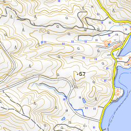
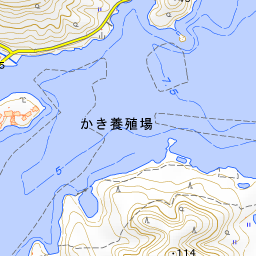
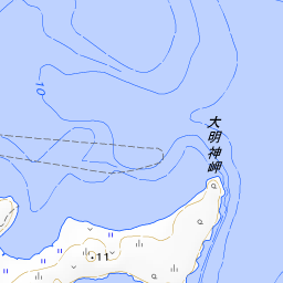
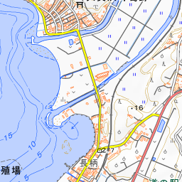
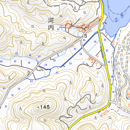
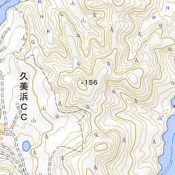
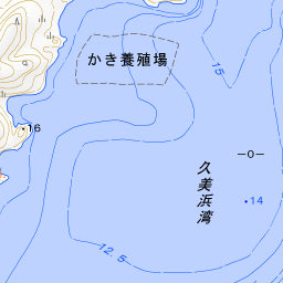
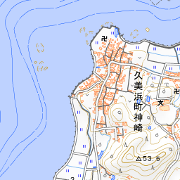
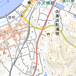


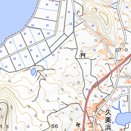
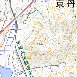
Spot location © OpenStreetMap contributors (ODbL)
Open in Google MapsGuides that include this spot (1)
Use asobot while you walk
- See where you are on the map and find spots nearby
- Listen to the guide's audio in course order, one after another (with subtitles)
- Walk to the next spot while following the map
Open on your phone
Scan to open this spot in asobot on your phone.