 ✨ AI Generated
Mt. Hakkyogatake
Japanese: 八経ヶ岳
Tenkawa Village, Nara
This information was written by AI and may contain mistakes. Please check official sources for opening hours, fees, and other details before you go.
Found a mistake? Let us know with “✏️ Something's wrong” on this spot's screen in asobot →
🎧 Audio guide(1:11)
In short
Standing at an elevation of 1,915 meters, Mt. Hakkyogatake is the highest peak in the Kinki region and is part of Mt. Omine, one of the 100 Famous Japanese Mountains. Along its ridge runs the Omine Okugake-michi, an ascetic training path of Shugendo, and the area near the summit is enveloped in primeval forests of Hondo spruce and Veitch's silver fir. When visibility is clear, Mt. Fuji can be seen in the distance at dawn.
- Oyama renge (Siebold's magnolia): A fragrant flower designated as a national Natural Monument, also known as "tennyobana" (celestial maiden flower).
- Omine Okugake-michi: An ascetic training trail of about 170 kilometers stretching from Yoshino to Kumano, included in a World Heritage site.
- Mt. Misen: The adjacent Mt. Misen enshrines the okumiya (inner shrine) of Tenkawa Daibenzaiten-sha Shrine.
History and Highlights
Mt. Hakkyogatake is a 1,915-meter-high mountain in the Omine Mountain Range, known as the "Roof of Kinki," and is the highest peak in the Kinki region. It is also known by alternative names such as Bukkyogatake and Hakkensan. Mt. Omine, as featured in the 100 Famous Japanese Mountains, refers to the entire mountain group, extending from Mt. Sanjogatake south to Mt. Misen and Mt. Hakkyogatake.
The Omine Okugake-michi, said to have been opened in the early 8th century by En no Gyoja, who is regarded as the founder of Shugendo, is a trail of about 170 kilometers from Yoshino to Kumano. It follows the ridges of mountains approaching 2,000 meters in elevation, including Mt. Sanjogatake, Mt. Misen, and Mt. Hakkyogatake. This trail is included in the World Heritage site "Sacred Sites and Pilgrimage Routes in the Kii Mountain Range."
Adjacent Mt. Misen stands at an elevation of 1,895 meters and is the central mountain of Omine. Its name was derived from Mt. Sumeru (Shumisen), which represents the Buddhist worldview. It enshrines the inner shrine of Tenkawa Daibenzaiten-sha Shrine and has long been regarded as a sacred place as a mountain of the water deity, the source of life.
The area around the summit is covered in primeval forests of Hondo spruce and Veitch's silver fir. These spruces and firs are coniferous trees that have survived from the ice age.
Viewing and Experience Points
- Oyama renge: The wild habitat around Mt. Misen and Mt. Hakkyogatake was designated as a national Natural Monument in 1928. "Oyama" refers to Mt. Omine, and the flower is also called "tennyobana." It blooms with fragrant flowers reminiscent of the goddess Benzaiten, who is regarded as the deity enshrined at Mt. Misen.
- Fences to protect against deer: The Oyama renge was driven close to extinction due to feeding damage by deer. Protective fencing has been installed in the col between Mt. Hakkyogatake and Mt. Misen. If you open the gate, be sure to close it so deer cannot enter.
- Views from the mountain: When visibility is good, Mt. Fuji can be seen in the distance at dawn. At night, the night views of Osaka Bay and Kobe and, to the south, ships traveling through the Kumano Sea can sometimes be seen.
Walking Tips
The shortest route is the "Hakkyogatake Climbing Course," which starts from the west entrance of Gyojagaeri Tunnel along National Route 309, where there is a parking lot. The road leading there is narrow, and the Shirakura Tunnel along the way has a height limit of 2.6 meters. Portions of National Route 309 are closed to traffic during the winter. There is also the "Kawai Hakkyogatake Course" starting from the Tenkawa-Kawai bus stop. The "Misengawa Soko Course," which climbs along the Misen River, involves much rock scrambling and is not suitable for beginners.
The mountains of Omine are deep, with continuous, similar ridges. Mountain accidents occur every year. Verify your route using a hiking map or a GPS-enabled app, and submit a mountain climbing registration before setting out. Near the summit, the first snow typically falls in November, and snow remains until the Golden Week holidays in early May.
Tenkawa Daibenzaiten-sha Shrine is located about 8.2 kilometers to the northwest.
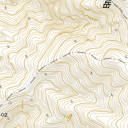
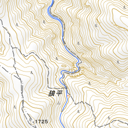


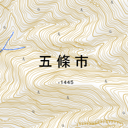
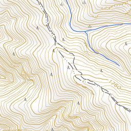


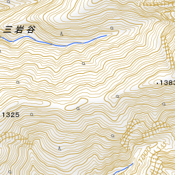
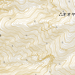
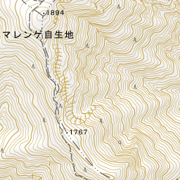
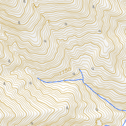
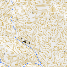
Spot location © OpenStreetMap contributors (ODbL)
Open in Google MapsUse asobot while you walk
- See where you are on the map and find spots nearby
- Listen to the guide's audio in course order, one after another (with subtitles)
- Walk to the next spot while following the map
Open on your phone
Scan to open this spot in asobot on your phone.