
Mt. Kono
Japanese: 神野山
Yamazoe Village, Nara
This information was written by AI and may contain mistakes. Please check official sources for opening hours, fees, and other details before you go.
Found a mistake? Let us know with “✏️ Something's wrong” on this spot's screen in asobot →
🎧 Audio guide(1:07)
In short
Mt. Kono is a 618.8-meter-high mountain located in Yamazoe Village in the northeastern part of Nara Prefecture. A gently sloping conical mountain with a 360-degree panoramic view from its summit, it is known as a famous spot for azaleas. The entire mountain forms a park called "Forest Park Kono-yama."
- Summit Panorama: Enjoy seasonal views such as azaleas in spring, fresh sprouts in tea plantations during the new tea season, and vibrant foliage in autumn.
- Nabekura-kei Valley: Black rocks of various sizes stretch across the mountainside for about 650 meters, resembling a flow of lava.
- Starry Sky Mountain: Many people visit at night for stargazing, and it is also drawing attention as a place to view starry skies and seas of clouds.
History and Highlights
Mt. Kono is a mountain situated in the northern Yamato Plateau in the western part of Yamazoe Village, northeastern Nara Prefecture. It stands 618.8 meters high. A conical mountain with gently trailing skirts, it is a landform called a "monadnock" (an isolated hill or remnant left after erosion). The mountain is a Prefectural Place of Scenic Beauty and is designated as Tsukigase Mt. Kono Prefectural Natural Park.
From ancient times, it has been revered as a mountain of faith by the local people. In the villages at the foot of the mountain, there is a custom of spending a day visiting the mountain, known as the "Kono-yama Mairi," around the time the azaleas bloom, currently held on May 3. At the southern foot stands Kono-ji Temple, which is said to have been founded in 740 during the Nara period by the monk Gyoki. Near the summit, there is also a burial mound called Ozuka.
Nabekura-kei Valley, located on the northeastern mountainside, is a Prefectural Natural Monument. Black rocks of various sizes stretch continuously over an average width of 25 meters and a length of about 650 meters, creating a view reminiscent of a lava flow. It is thought that the giant boulders of Mt. Kono might represent constellations mirrored on the earth. Nabekura-kei Valley is said to represent the Milky Way, while Ozuka is said to represent Deneb in the constellation Cygnus.
Viewing and Experience Highlights
- 360-Degree Panorama from the Summit: A 360-degree view unfolds from the summit. In spring, azaleas bloom in abundance, painting the mountain with a contrast of green and crimson. During the new tea season, the fresh shoots of the tea fields stand out beautifully against the blue sky. In autumn, colorful leaves blanket the entire mountain.
- The River of Rocks at Nabekura-kei Valley: At Nabekura-kei Valley, you can faintly hear the sound of water. However, you cannot see the water's surface. Try listening closely as you walk.
- Starry Skies and Sea of Clouds: At night, many people come to observe the stars. It is also gaining attention as a destination to gaze at the starry night sky and seas of clouds.
Tips for Exploring
The whole of Mt. Kono is a park known as "Forest Park Kono-yama." Walking trails are maintained on the mountain, allowing visitors to enjoy strolls across the four seasons. There is also the "Mee Mee Farm," where about 60 sheep graze.
By car, it is about 3.6 kilometers toward Mt. Kono from the Konoguchi Interchange on the Meihan National Highway. By bus, take a bus bound for Yamazoe from JR or Kintetsu Nara Station, get off at "Kitano," and walk for about 2.4 kilometers.
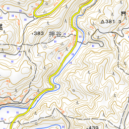


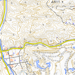


Spot location © OpenStreetMap contributors (ODbL)
Open in Google MapsUse asobot while you walk
- See where you are on the map and find spots nearby
- Listen to the guide's audio in course order, one after another (with subtitles)
- Walk to the next spot while following the map
Open on your phone
Scan to open this spot in asobot on your phone.