
Hake-no-Michi Path
Japanese: はけの道
Koganei, Tokyo
This information was written by AI and may contain mistakes. Please check official sources for opening hours, fees, and other details before you go.
Found a mistake? Let us know with “✏️ Something's wrong” on this spot's screen in asobot →
🎧 Audio guide(1:01)
In short
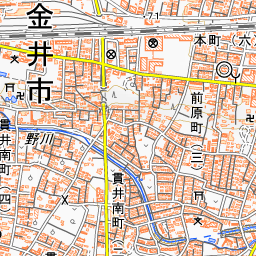
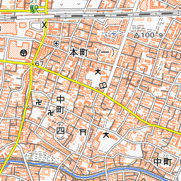
Hake-no-Michi Path is a route that weaves along the base of the "hake" cliff, which extends from east to west through the southern part of Koganei City. Its name is an affectionate moniker given by Koganei City following a public call for suggestions from residents. There is an elevation difference of about 15 meters between the top and bottom of the cliff, and water springs forth from various spots along its base. This spring water flows into the Nogawa River.
- Springs Beneath the Cliff: Among the springs in Koganei City, three locations—Sorosen-en Garden, Nukui-jinja Shrine, and the Bijutsu no Mori Green Space—have been selected among Tokyo's famous springs.
- Historic Slopes: Due to the cliff, there are many slopes, creating a distinctive landscape.
- A Setting for a Novel: The hake, spring water, and the Nogawa River served as the setting for Ooka Shohei's novel Lady Musashino (Musashino Fujin).
History and Highlights
Hake-no-Michi Path is a road that winds along the foot of the cliff in the southern part of Koganei City. The name "Hake-no-Michi" is an affectionate moniker chosen by Koganei City from public submissions by local residents.
This cliff running east-west across the southern part of the city is a remnant of the ancient Tama River eroding the Musashino Plateau, and it is known as "hake." Also called the Kokubunji Cliff Line, it extends for about 30 kilometers from Tachikawa City to the vicinity of Den-en-chofu in Ota Ward. Within Koganei City, there is a height difference of about 15 meters between the top and the bottom of the cliff.
Water springs up from below the hake. Rainfall passes through the loam layer of Mount Fuji's volcanic ash and collects in the gravel layer beneath it. Because the clay layer underneath allows little water to pass through, it emerges as spring water at the base of the cliff. This spring water flows into the Nogawa River. Among the springs in Koganei City, three locations—Sorosen-en Garden, Nukui-jinja Shrine, and the Bijutsu no Mori Green Space—have been chosen among Tokyo's famous springs.
The place name Koganei is said to have evolved from "Kogane-i" (golden well), originating from the idea of "abundant water worthy of gold springing forth." In addition, the hake, spring water, and the Nogawa River served as the setting for Ooka Shohei's novel Lady Musashino, published in 1950.
Viewing and Experience Points
- The Cliff and Spring Water: The path weaves along the base of the hake cliff. Water gushes out from places along the cliff, delighting the eyes of those taking a stroll.
- Hakenomori Art Museum and "Hake-no-Komichi Lane": Along the path stands the Hakenomori Art Museum, which mainly houses works by the Western-style painter Nakamura Kenichi. "Hake-no-Komichi Lane" in front of the museum is a walkway where visitors can stroll along the water channel flowing from the springs in the museum's garden into the Nogawa River.
- Historic Slopes: Due to the hake cliff, there are many historic slopes in the city, forming a unique landscape. Shichiya-zaka Slope on the Old Shiki Kaido features distinctive stone paving. It is said to have been named so because a pawnshop (shichiya) was located along the slope around the end of the Edo period.
Walking Tips
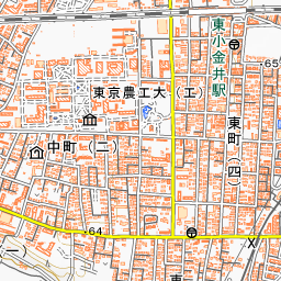
To reach the Hakenomori Art Museum along the path, it is about a 15-minute walk from the South Exit of Musashi-Koganei Station on the JR Chuo Line. The museum is located about 230 meters northwest of this point. With the walking map "Explore the Hake and Anime Settings!", visitors can follow the hake to visit the slopes, springs, Hake-no-Komichi Lane, and attractions around the Nogawa River. On the Hake-no-Michi Path side of Musashino Park, there is the "Monument of the Former Paddy Fields," which conveys that the area around the Nogawa River was once an extensive expanse of rice paddies. Walking about 1.6 kilometers west brings you to Sorosen-en Garden, a garden with a spring-fed pond, and walking about 1.5 kilometers southeast leads to the metropolitan Nogawa Park.
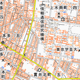

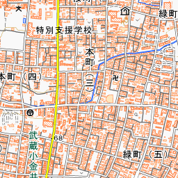

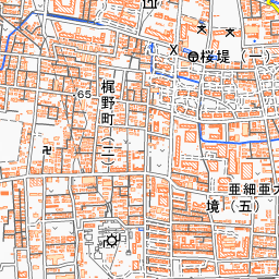
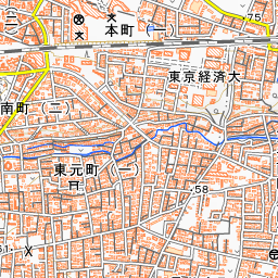
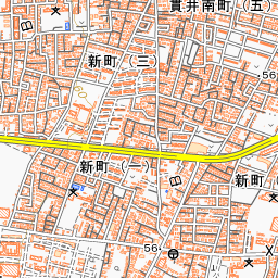
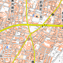
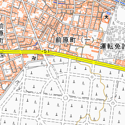
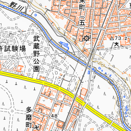
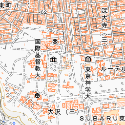
Spot location © OpenStreetMap contributors (ODbL)
Open in Google MapsUse asobot while you walk
- See where you are on the map and find spots nearby
- Listen to the guide's audio in course order, one after another (with subtitles)
- Walk to the next spot while following the map
Open on your phone
Scan to open this spot in asobot on your phone.